- Maes Knoll
-
Maes Knoll 
Type Iron Age hillfort Location Country England County Somerset Nearest town Bristol Nearest village Norton Malreward OS grid reference ST600660 Coordinates 51°23′30″N 2°34′35″W / 51.391620°N 2.576274°WCoordinates: 51°23′30″N 2°34′35″W / 51.391620°N 2.576274°W References Megalithic Portal  Plan of the site
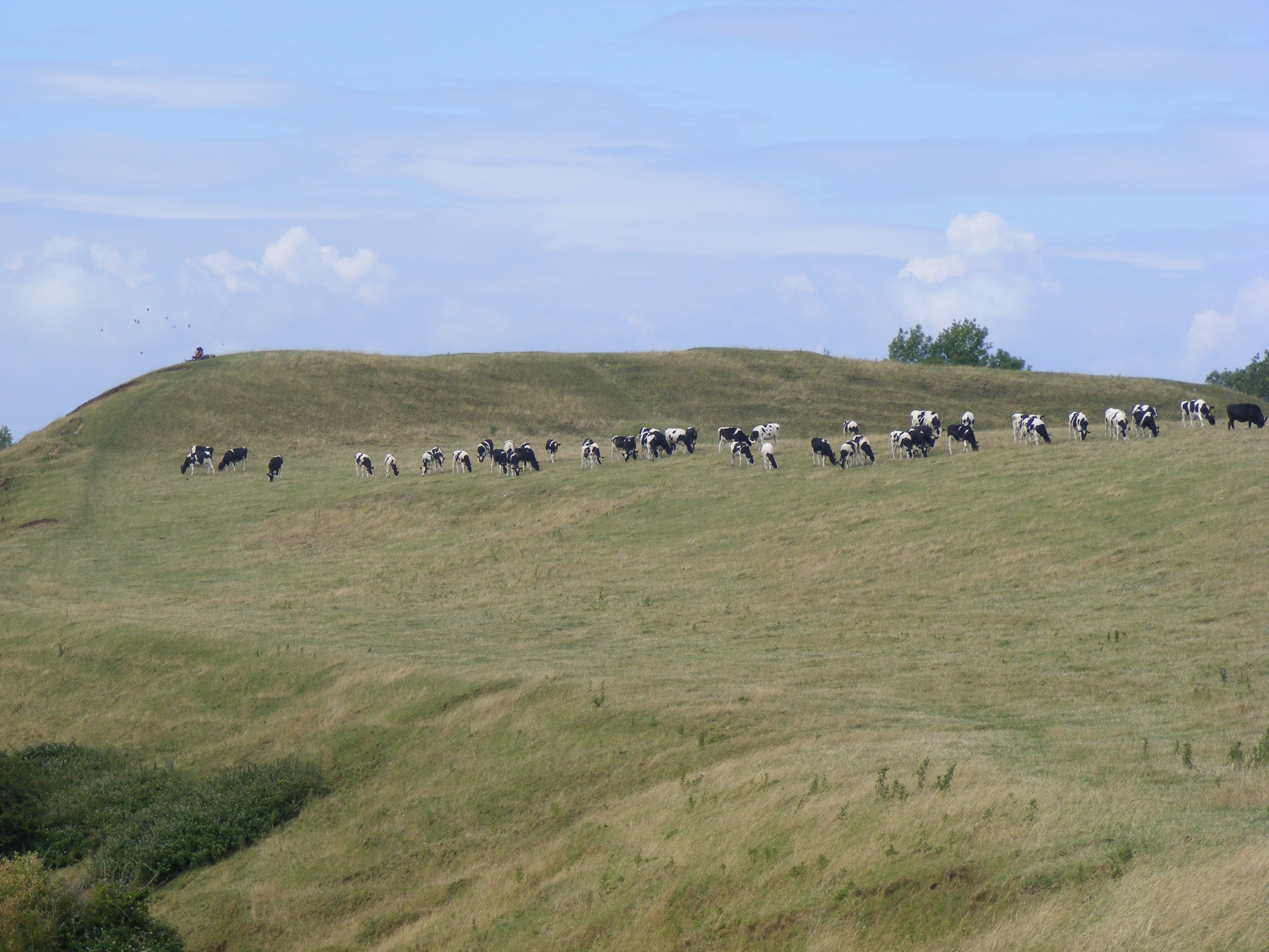
Maes Knoll (sometimes Maes tump or Maes Knoll tump) is an Iron Age hillfort in Somerset, England, located at the eastern end of the Dundry Down ridge, south of the city of Bristol and north of the village of Norton Malreward near the eastern side of Dundry Hill. It is a Scheduled Ancient Monument.[1]
Contents
Background
Further information: Hill fortHill forts developed in the Late Bronze and Early Iron Age, roughly the start of the first millennium BC.[2] The reason for their emergence in Britain, and their purpose, has been a subject of debate. It has been argued that they could have been military sites constructed in response to invasion from continental Europe, sites built by invaders, or a military reaction to social tensions caused by an increasing population and consequent pressure on agriculture. The dominant view since the 1960s has been that the increasing use of iron led to social changes in Britain. Deposits of iron ore were located in different places to the tin and copper ore necessary to make bronze, and as a result trading patterns shifted and the old elites lost their economic and social status. Power passed into the hands of a new group of people.[3] Archaeologist Barry Cunliffe believes that population increase still played a role and has stated "[the forts] provided defensive possibilities for the community at those times when the stress [of an increasing population] burst out into open warfare. But I wouldn't see them as having been built because there was a state of war. They would be functional as defensive strongholds when there were tensions and undoubtedly some of them were attacked and destroyed, but this was not the only, or even the most significant, factor in their construction".[4]
Description
The hillfort, which is approximately 390 by 84 feet (120 × 26 m), and 45 feet (14 m) in height, covering 20 acres (8.1 ha), consists of a fairly large flat open area, roughly triangular in shape, that has been fortified by ramparts and shaping of the steep-sided hilltop around the northern, eastern and southwestern sides of the hill. It rises to an altitude of 197 metres (646 ft) above sea level,[5] and provides views over the lands it would have once commanded. From here, there are clear views north to Bristol, east to Bath and the Cotswold Hills, and south over Stanton Drew stone circles to Chew Valley Lake and the Mendip Hills. The underlying rocks are Inferior Oolite of the Jurassic period.[5]
History
It is believed to have been built, around 250 BC, by the Dobuni who were one of the Celtic tribes living in the British Isles prior to the Roman invasion of Britain. The name Maes Knoll is derived from the Celtic word Maerc meaning boundary.[6] The existing scarp slopes were steepened and, on the north-western edge of the fort is an earthen mound, known as Maes Knoll Tump, about 7.5 metres (25 ft) above the rests of the fort defences, which is 60 metres (200 ft) across and 15 metres (49 ft) above a defensive ditch.[6][7]
The later Wansdyke runs west from it along the north side of Dundry Hill and south-east from it.
During the Second World War, a draughty, rectangular, corrugated-iron hut on the top of the tump sheltered Dundry Home Guard soldiers, allowing them to watch for enemy aircraft and potential parachute or glider invasions of Bristol. The flat plateau immediately to the east of Maes Knoll tump had perhaps 50 stone cairns to deter enemy glider landings.
See also
- List of hill forts and ancient settlements in Somerset
References
- ^ "Maes Knoll". National Monuments Record. English Heritage. http://www.pastscape.org.uk/hob.aspx?hob_id=201029. Retrieved 24 March 2011.
- ^ Payne, Andrew; Corney, Mark; Cunliffe, Barry (2007), The Wessex Hillforts Project: Extensive Survey of Hillfort Interiors in Central Southern England, English Heritage, p. 1, ISBN 9781873592854, http://www.english-heritage.org.uk/server/show/ConWebDoc.10744
- ^ Sharples, Niall M (1991), English Heritage Book of Maiden Castle, London: B. T. Batsford, pp. 71–72, ISBN 0-7134-6083-0
- ^ Time Team: Swords, skulls and strongholds, Channel 4, 2008-05-19, http://www.channel4.com/history/microsites/T/timeteam/2008/swords/swords-found.html, retrieved 16 September 2009
- ^ a b "Area 5 - The Dundry Plateau". Landscape Character. Bath and North East Somerset Council. http://www.bathnes.gov.uk/environmentandplanning/landandpremises/Landscape/Pages/rlarea5.aspx. Retrieved 2 October 2010.
- ^ a b "Maes Knoll Iron Age camp". Wansdyke Project 21. http://www.wansdyke21.org.uk/wansdyke/wanwesteast/wanwest1.htm. Retrieved 25 July 2010.
- ^ "Maes Knoll". Megalithic Portal. http://www.megalithic.co.uk/article.php?sid=8405. Retrieved 25 July 2010.
External links
- Illustrated description
- Map sources for Maes Knoll
Categories:- Hill forts in Somerset
- History of Somerset
- Bath and North East Somerset
- Megalithic monuments in Europe
- Neolithic settlements
- Iron Age sites in England
- Archaeological sites in Somerset
- United Kingdom home front during World War II
- Scheduled Ancient Monuments in Somerset

Wikimedia Foundation. 2010.