- Over Wyresdale
-
Coordinates: 53°58′59″N 2°40′01″W / 53.983°N 2.667°W
Over Wyresdale 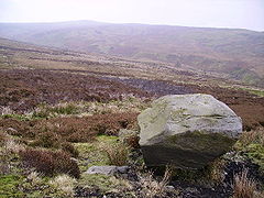
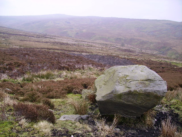
Tarnbrook Fell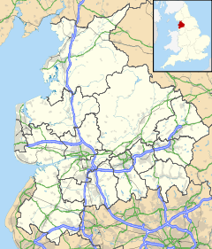
 Over Wyresdale
Over Wyresdale shown within LancashirePopulation 348 (2001) OS grid reference SD5654 Parish Over Wyresdale District Lancaster Shire county Lancashire Region North West Country England Sovereign state United Kingdom Post town LANCASTER Postcode district LA2 Dialling code 01524 Police Lancashire Fire Lancashire Ambulance North West EU Parliament North West England UK Parliament Lancaster & Wyre List of places: UK • England • Lancashire Over Wyresdale is a civil parish in the City of Lancaster in the English county of Lancashire. It has a population of 348.[1] The parish includes the villages of Abbeystead, Lee, Lower Green Bank, Marshaw and Tarnbrook.
Blackpool F.C. chairman Karl Oyston married his partner Vicki Wheeler in a ceremony at the parish's Christ Church on 19 February 2011.[2]
References
- ^ Office for National Statistics : Census 2001 : Parish Headcounts : Lancaster Retrieved 12 February 2010
- ^ "Blackpool chairman says 'I do'" - Blackpool Gazette, 21 February 2011
Ceremonial county of Lancashire North West England Portal Unitary authorities Boroughs or districts Major settlements Accrington • Adlington • Bacup • Barnoldswick • Blackburn • Blackpool • Brierfield • Burnley • Burscough • Carnforth • Chorley • Clayton-le-Moors • Cleveleys • Clitheroe • Colne • Darwen • Earby • Fleetwood • Garstang • Great Harwood • Haslingden • Kirkham • Lancaster • Leyland • Longridge • Lytham St Annes • Morecambe • Nelson • Ormskirk • Oswaldtwistle • Padiham • Penwortham • Poulton-le-Fylde • Preesall • Preston • Rawtenstall • Rishton • Skelmersdale • Wesham • Whitworth
See also: List of civil parishes in LancashireRivers Canals Topics Categories:- Geography of Lancaster
- Civil parishes in Lancashire
- Lancashire geography stubs

Wikimedia Foundation. 2010.