- Orslow
-
Coordinates: 52°44′06″N 2°17′17″W / 52.735°N 2.288°W
Orslow 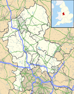
 Orslow
Orslow shown within StaffordshireOS grid reference SJ806152 District South Staffordshire Shire county Staffordshire Region West Midlands Country England Sovereign state United Kingdom Police Staffordshire Fire Staffordshire Ambulance West Midlands EU Parliament West Midlands UK Parliament Stafford List of places: UK • England • Staffordshire Orslow is an upland hamlet in Staffordshire, England, 0.75 miles (1.21 km) north-east of Great Chatwell. Its Anglo-Saxon name means 'Horsa's burial mound'. Of note in Orslow is the site of a 13th century windmill (close to SJ 818156) and Orslow Manor, a red brick farmhouse of about 1800.
References
- Raven, Michael, A Guide to Staffordshire and the Black Country, Michael Raven, 2004, 0906114330.
Categories:- Villages in Staffordshire
- South Staffordshire

Wikimedia Foundation. 2010.