- Nyabarongo River
-
Nyabarongo River Wetlands Map of Rwanda, showing location of Nyabarongo River.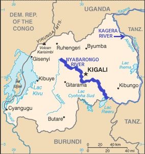
Coordinates 2°21′04″S 30°21′27″E / 2.35111°S 30.3575°ECoordinates: 2°21′04″S 30°21′27″E / 2.35111°S 30.3575°E The Nyabarongo River Wetlands is a protected area in Rwanda[1], covering 142.62 km². It is of great importance for biodiversity conservation, especially birds, with species such as the endangered Madagascar Pond heron Aldeora idae, the Near-threatened Papyrus Gonolek Laniarius mufumbiri, the Vulnerable Grey Crowned Crane Balearica regulorum, and the Sitatunga Tragelaphus spekii.[2]
The following species in the Nyabarongo River Wetlands are red-listed as endangered: Papyrus Gonolek (Laniarius mufumbiri), Carruthers's Cisticola (Cisticola carruthersi), White-winged Scrub-warbler (Bradypterus carpalis), Papyrus Yellow Warbler (Chloropeta gracilirostris), Sharpe's Pied-babbler (Turdoides sharpei), Northern Brown-throated Weaver (Ploceus castanops), White-collared Oliveback (Nesocharis ansorgei), and Papyrus Canary (Serinus koliensis)[3].
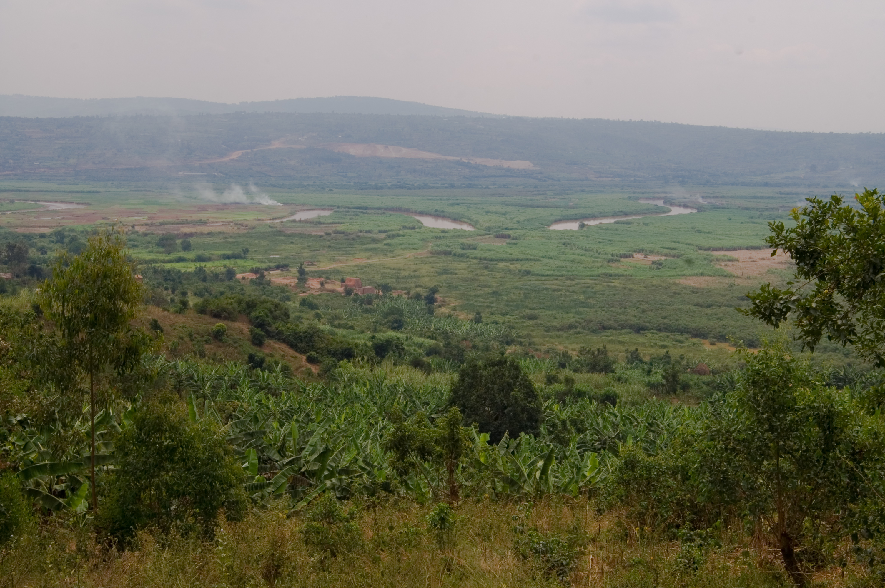
The wetlands are hydrated by the Nyabarongo River, a tributary of the Nile, which empties into the Akagera River (also known as Kagera) which, in turn, flows into Lake Victoria.[4] The Nyabarongo is a real source of the Nile, beginning from its congruent with Mukungwa river, 20 kilometers North-West of Kigali, it flows southwards to meet the Akanyaru river, and then it becomes Akagera, the great river that defines the border with Tanzania.[5]
Nyabarongo wetlands are under serious pressure from agriculture and are completely unprotected.[6]
- ^ "Nyabarongo: Rwanda". http://geographic.org/geographic_names/name.php?uni=-3017505&fid=5579&c=rwanda. Retrieved 2010-09-09..
- ^ "Conservation of Nyabarongo Wetlands for Sustainable Livelihoods, Rwanda". http://www.birdlife.org/community/2010/05/nyabarongo-wetlands-livelihoods-rwanda/. Retrieved 2010-09-09..
- ^ "BirdLife IBA Factsheet, RW004 Nyabarongo wetlands". http://www.birdlife.org/datazone/sites/index.html?action=SitHTMDetails.asp&sid=6776&m=0. Retrieved 2010-09-09..
- ^ "Industrial discharges of metals in Kigali, Rwanda, and the impact on drinking water quality". http://www.osti.gov/energycitations/product.biblio.jsp?osti_id=535287. Retrieved 2010-09-09..
- ^ "Exploring the Nyabarongo river". http://www.newtimes.co.rw/print.php?issue=14072&print&article=5219. Retrieved 2010-09-09..
- ^ "BirdLife IBA Factsheet, RW004 Nyabarongo wetlands". http://www.birdlife.org/datazone/sites/index.html?action=SitHTMDetails.asp&sid=6776&m=0. Retrieved 2010-09-09..
Categories:- Protected areas of Rwanda

Wikimedia Foundation. 2010.