- Nuup Kangerlua
-
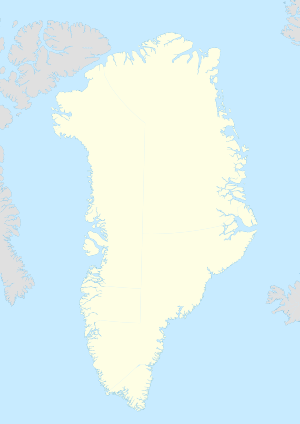
 Nuup KangerluaLocation within Greenland
Nuup Kangerlua (old spelling: Nûp Kangerdlua, Danish: Godthåbsfjorden) is a 160 km (99.4 mi) long,[1] fjord in the Sermersooq municipality in southwestern Greenland. It is the longest fjord on the Labrador Sea coast of Greenland, and one of the longest in the inhabited part of the country.[1]
Geography
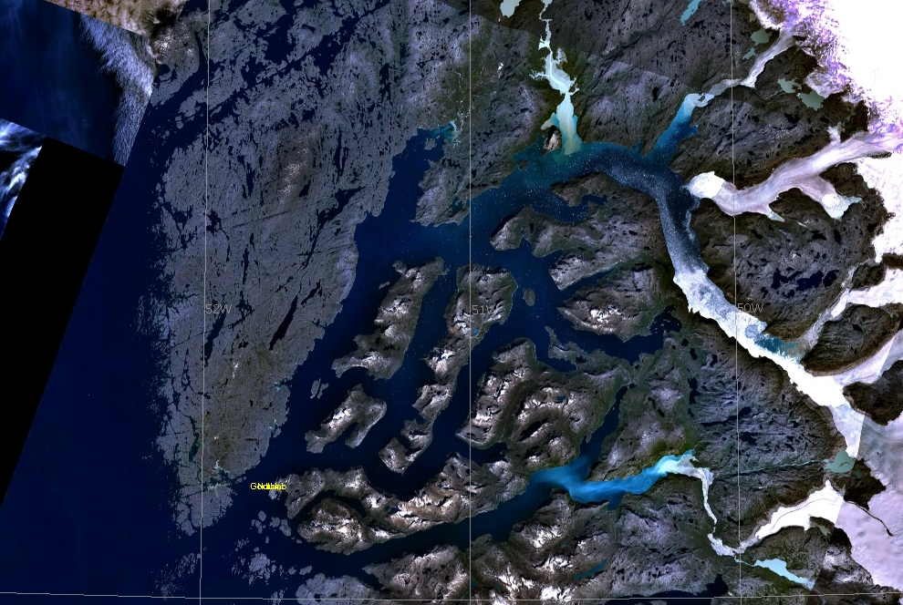
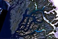 Satellite view of Nuup Kangerlua
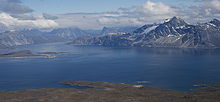 Aerial view of Nuup Kangerlua and Sermitsiaq mountain.
The fjord head is located deep inland, with the fjord beginning as an icefjord at 64°19′50″N 49°36′10″W / 64.33056°N 49.60278°W, with two glaciers draining the Greenland ice sheet (Kalaallisut: Sermersuaq) flowing into the fjord.
Initially, the fjord flows to the northwest, to then turn southwest at 64°43′N 50°37′W / 64.717°N 50.617°W, splitting into three arms in its lower run, with three large, mountainous islands in between the arms: Sermitsiaq Island with the Sermitsiaq mountain visible from most of Nuuk, Qeqertarsuaq Island, and Qoornuup Qeqertarsua Island.[2]
The fjord widens into a bay dotted with skerries near its mouth, opening into Labrador Sea at approximately 64°03′N 51°58′W / 64.05°N 51.967°W, near the former Kangeq settlement.
Settlement
Nuuk, the capital of Greenland, is located near the mouth of the fjord, on a mountainous peninsula bounding the fjord from the southeast. Kapisillit is located 75 km (47 mi) northeast of Nuuk, near the head of Kapisillit Kangerluaq,[2] one of the tributary fjords of Nuup Kangerlua.
Coordinates: 64°30′N 51°23′W / 64.5°N 51.383°W
References
- ^ a b "TIL OPPLYSNING". Norwegian University of Science and Technology. http://www.ntnu.no/ub/formidl/utgivelser/til_opplysning/to_nr15.php. Retrieved 12 July 2010.
- ^ a b O'Carroll, Etain (2005). Greenland and the Arctic. Lonely Planet. pp. 154. ISBN 1-74059-095-3.
Categories:- Fjords of Greenland
- Labrador Sea
- Nuuk


Wikimedia Foundation. 2010.