- Norfolk Regional Airport
-
This article is about an airport in Nebraska. For the airport in Virginia, see Norfolk International Airport.
Norfolk Regional Airport
Karl Stefan Memorial Field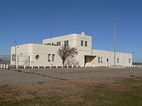
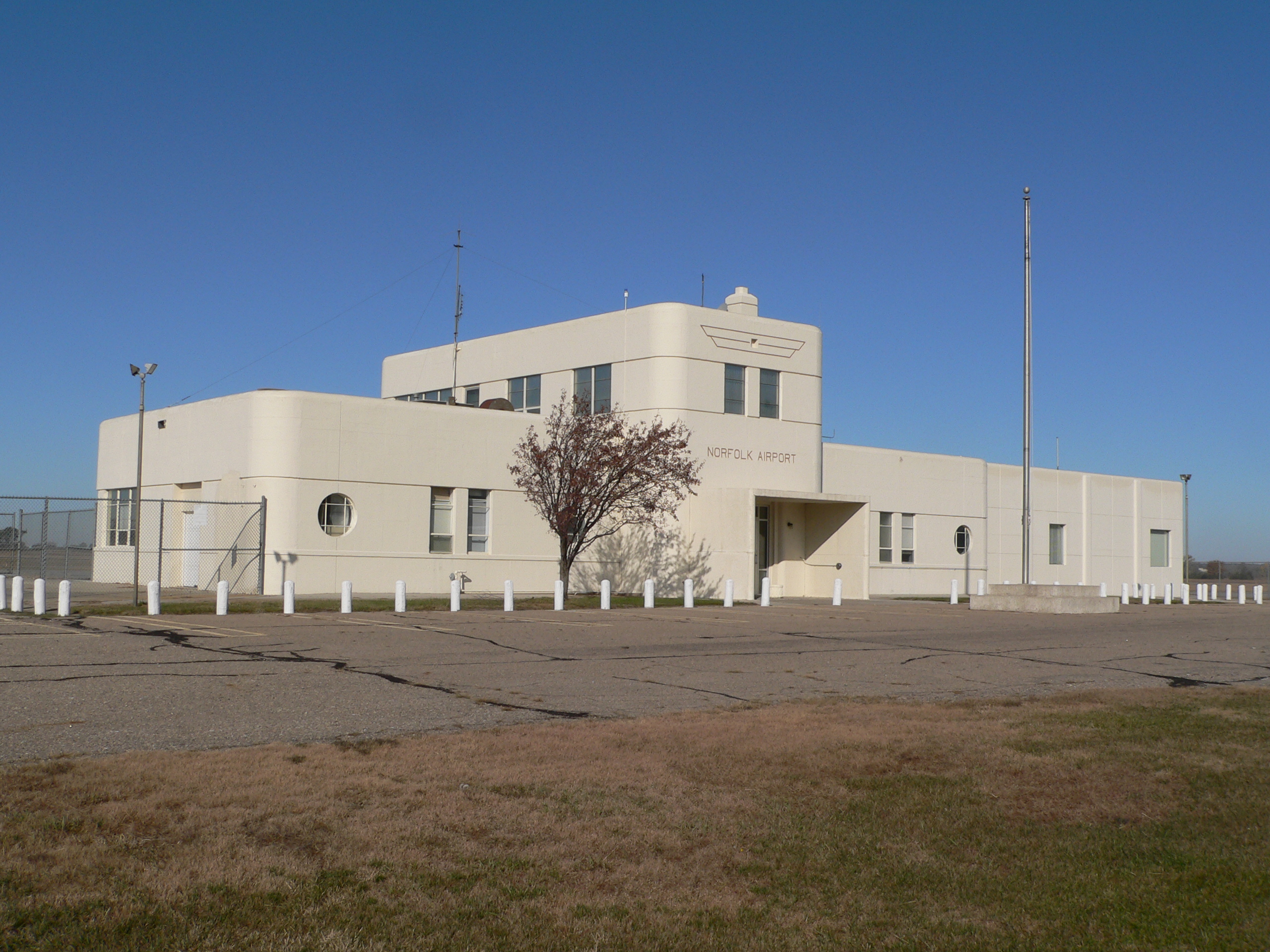
Former terminal building IATA: OFK – ICAO: KOFK – FAA LID: OFK Summary Airport type Public Owner City of Norfolk Serves Norfolk, Nebraska Elevation AMSL 1,573 ft / 479 m Coordinates 41°59′08″N 097°26′06″W / 41.98556°N 97.435°WCoordinates: 41°59′08″N 097°26′06″W / 41.98556°N 97.435°W Map Location of airport in Nebraska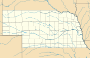
 OFK
OFKRunways Direction Length Surface ft m 1/19 5,800 1,768 Asphalt 14/32 5,800 1,768 Asphalt Statistics (2010) Aircraft operations 26,934 Based aircraft 37 Source: Federal Aviation Administration[1] Norfolk Regional Airport (IATA: OFK, ICAO: KOFK, FAA LID: OFK), also known as Karl Stefan Memorial Field, is a public-use airport located three nautical miles (4 mi, 6 km) southwest of the central business district of Norfolk, in Madison County, Nebraska, United States. It is owned by the City of Norfolk.[1]
The airport is named for Karl Stefan, a local newspaper editor and radio announcer who served several terms in the United States Congress. Until March 2011 it was known as Karl Stefan Memorial Airport.[2]
This airport is included in the FAA's National Plan of Integrated Airport Systems for 2011–2015, which categorized it as a general aviation facility.[3]
Facilities and aircraft
The airport covers an area of 926 acres (375 ha) at an elevation of 1,573 feet (479 m) above mean sea level. It has two runways, 1/19 and 14/32, each with an asphalt surface measuring 5,800 by 100 feet (1,768 x 30 m) with an asphalt surface.[1]
For the 12-month period ending August 5, 2010, the airport had 26,934 aircraft operations, an average of 73 per day: 89% general aviation, 10% air taxi, and 1% military. At that time there were 37 aircraft based at this airport: 76% single-engine, 8% multi-engine, 3% jet, and 14% ultralight.[1]
References
- ^ a b c d FAA Airport Master Record for OFK (Form 5010 PDF). Federal Aviation Administration. Effective 25 August 2011.
- ^ "Norfolk airport adding 'regional' to its name". Sioux City Journal. 11 March 2011. http://www.siouxcityjournal.com/news/local/article_95df28f0-2d04-11df-a478-001cc4c03286.html.
- ^ "2011–2015 NPIAS Report, Appendix A (PDF, 2.03 MB)". 2011–2015 National Plan of Integrated Airport Systems. Federal Aviation Administration. 4 October 2010. http://www.faa.gov/airports/planning_capacity/npias/reports/media/2011/npias_2011_appA.pdf.
External links
- Norfolk Airport Services
- FAA Airport Diagram (PDF), effective 20 October 2011
- FAA Terminal Procedures for OFK, effective 20 October 2011
- Resources for this airport:
- AirNav airport information for KOFK
- ASN accident history for OFK
- FlightAware airport information and live flight tracker
- NOAA/NWS latest weather observations
- SkyVector aeronautical chart, Terminal Procedures for KOFK
Categories:- Airports in Nebraska
- Buildings and structures in Madison County, Nebraska
- Transportation in Madison County, Nebraska

Wikimedia Foundation. 2010.