- Nettleton, Wiltshire
-
Coordinates: 51°30′22″N 2°15′32″W / 51.506°N 2.259°W
Nettleton 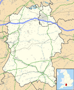
 Nettleton
Nettleton shown within WiltshirePopulation 597 (parish, including Burton and West Kington) (2001 census)[1] OS grid reference ST8278 Parish Nettleton Unitary authority Wiltshire Ceremonial county Wiltshire Region South West Country England Sovereign state United Kingdom Post town Chippenham Postcode district SN14 Dialling code 01249 Police Wiltshire Fire Wiltshire Ambulance Great Western EU Parliament South West England UK Parliament North Wiltshire List of places: UK • England • Wiltshire Nettleton is a village and civil parish about 6.5 miles (10.5 km) northwest of Chippenham in Wiltshire, England.
Archaeology
Lugbury is a chambered long barrow about 0.75 miles (1.21 km) east of the village.[2] Excavations in the 19th century found 28 human skeletons in its chambers.[2]
Remains of a Romano-British settlement of about 30 buildings have been found in the parish.[2] They include a temple to Diana and a shrine to Apollo Cunomaglus that were excavated between 1956 and 1971.[3]
References
- ^ "Area selected: North Wiltshire (Non-Metropolitan District)". Neighbourhood Statistics: Full Dataset View. Office for National Statistics. http://neighbourhood.statistics.gov.uk/dissemination/viewFullDataset.do?instanceSelection=03070&productId=779&$ph=60_61&datasetInstanceId=3070&startColumn=1&numberOfColumns=4&containerAreaId=790550. Retrieved 10 June 2010.
- ^ a b c Pevsner & Cherry, 1975, page356
- ^ Wedlake, 1982
Sources
- Pevsner, Nikolaus; Cherry, Bridget (revision) (1975). The Buildings of England: Wiltshire. Harmondsworth: Penguin Books. pp. 355–356. ISBN 0 14 0710.26 4.
- Wedlake, W.J. (1982). The Excavation of the Shrine of Apollo at Nettleton, Wiltshire, 1956-71. Society of Antiquaries of London. ISBN 0854312331. http://books.google.co.uk/books?id=vBDqAAAACAAJ&dq=nettleton,+wiltshire&cd=1.
Categories:- Villages in Wiltshire
- Roman sites in England
- Archaeological sites in Wiltshire
- Wiltshire geography stubs

Wikimedia Foundation. 2010.