- National Register of Historic Places listings in Wakefield, Massachusetts
-
This is a list of properties and historic districts in Wakefield, Massachusetts that are listed on the National Register of Historic Places.
The locations of National Register properties and districts (at least for all showing latitude and longitude coordinates below) may be seen in a Google map by clicking on "Map of all coordinates".[1]
-
- This National Park Service list is complete through NPS recent listings posted November 10, 2011.[2]
Current listings
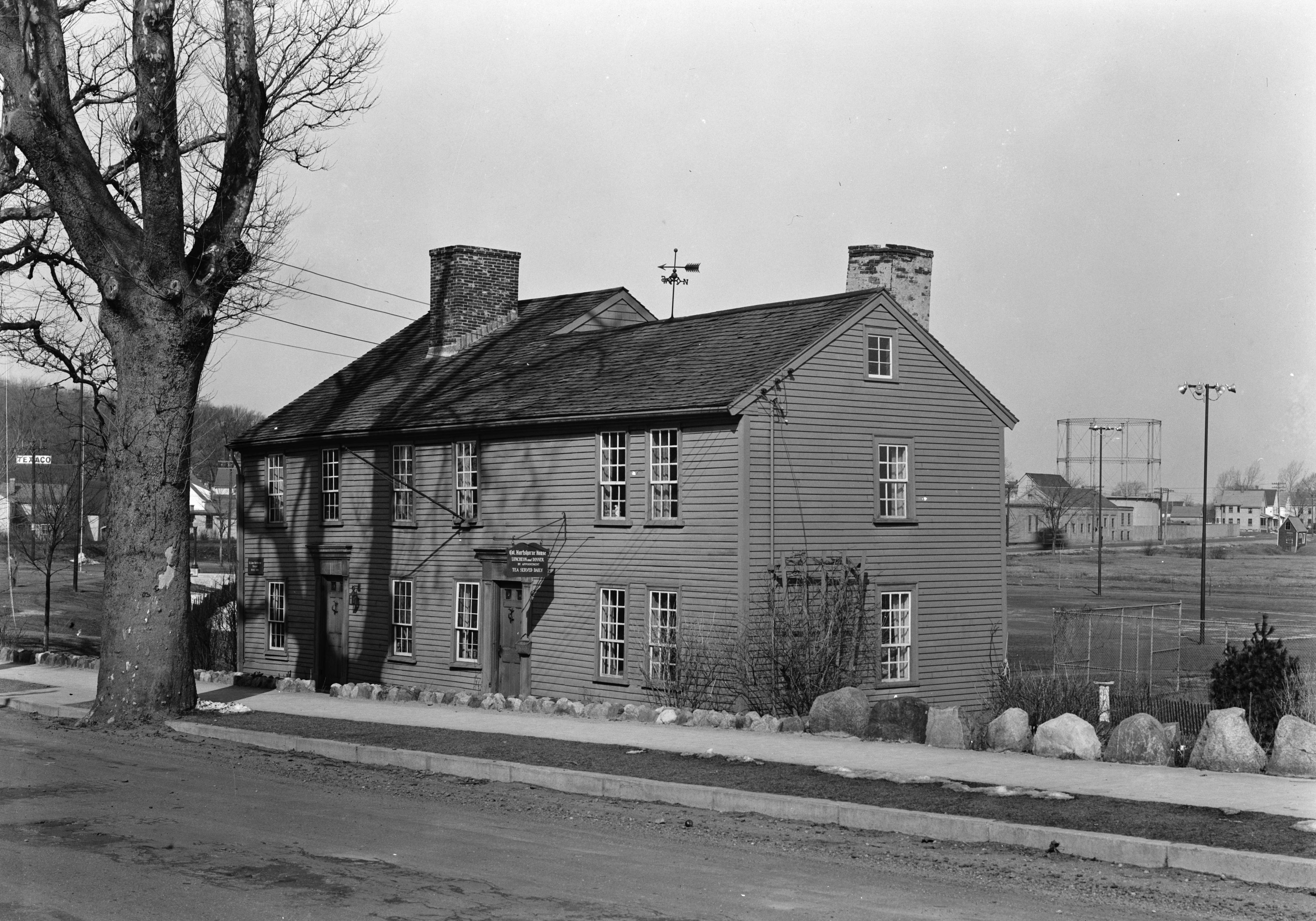
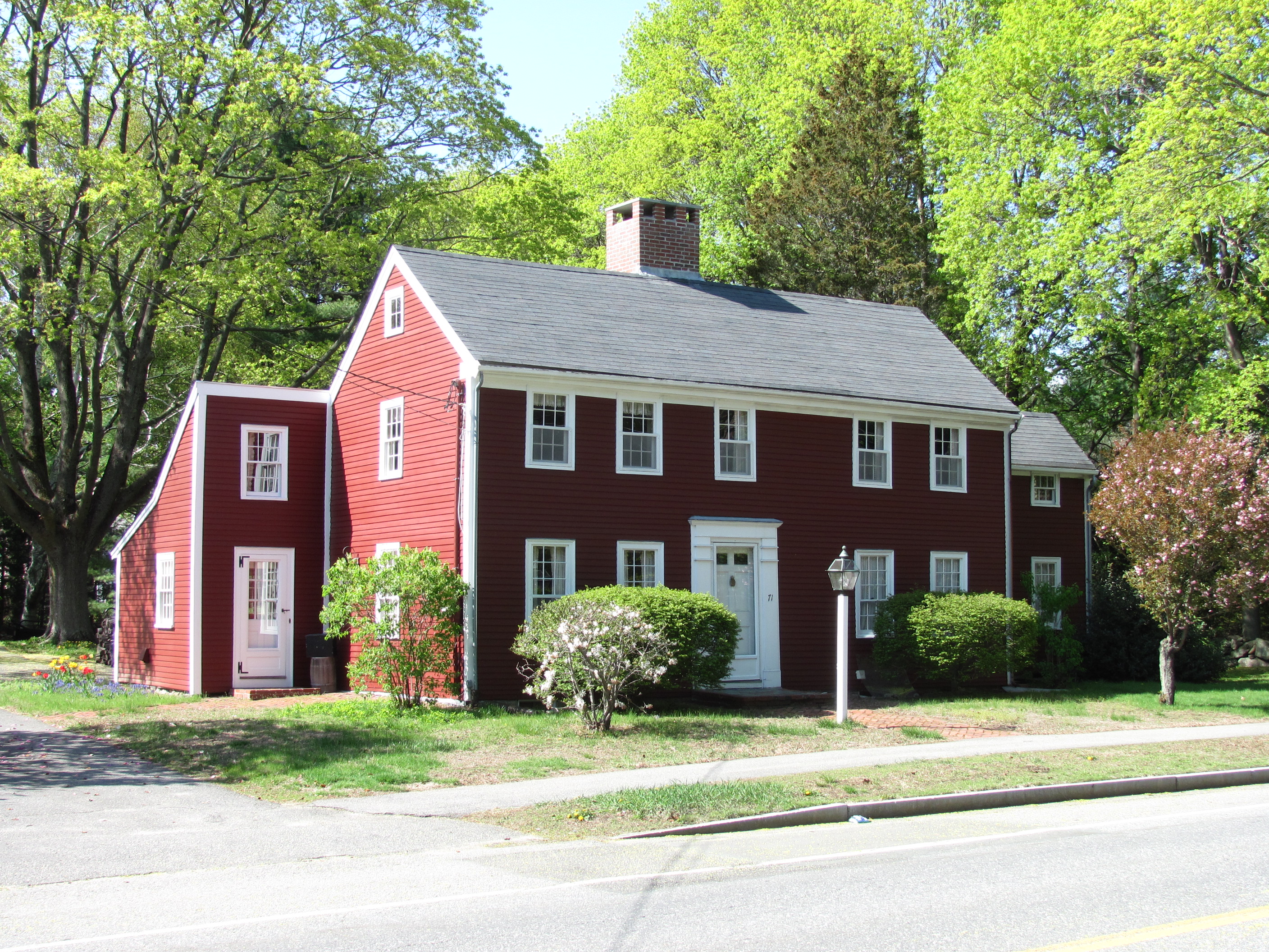
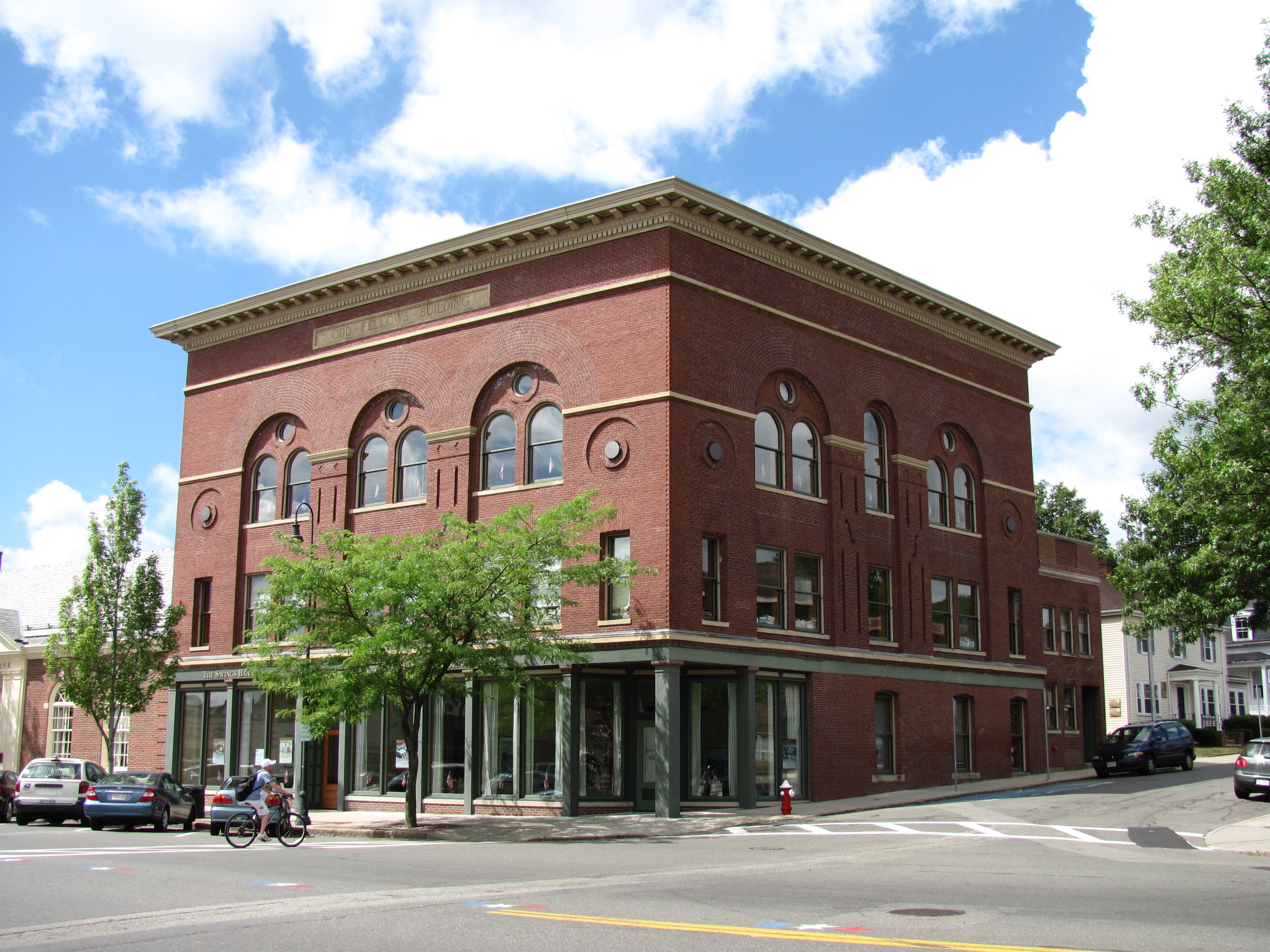
Landmark name Image Date listed Location Summary 1 Beacon Street Tomb July 6, 1989 Beacon St.
42°30′35″N 71°4′50″W / 42.50972°N 71.08056°W2 Beebe Homestead July 6, 1989 142 Main St.
42°31′1″N 71°4′28″W / 42.51694°N 71.07444°W3 E. Boardman House 
July 6, 1989 34 Salem St.
42°30′31″N 71°4′7″W / 42.50861°N 71.06861°W4 Elizabeth Boit House 
July 6, 1989 127 Chestnut St.
42°30′11″N 71°5′11″W / 42.50306°N 71.08639°W5 Breakheart Reservation Parkways-Metropolitan Park System of Greater Boston 
August 11, 2003 Forest St., Pine Tops, Elm and Hemlock Rds.
42°29′15″N 71°2′5″W / 42.4875°N 71.03472°WExtends into Saugus in Essex County. 6 Buildings at 35-37 Richardson Avenue 
July 6, 1989 35-37 Richardson Ave.
42°30′8″N 71°4′24″W / 42.50222°N 71.07333°W7 Building at 38-48 Richardson Avenue 
July 6, 1989 38-48 Richardson Ave.
42°30′5″N 71°4′30″W / 42.50139°N 71.075°W8 Center Depot 
July 6, 1989 57 Water St.
42°30′9″N 71°4′5″W / 42.5025°N 71.06806°W9 Church-Lafayette Streets Historic District 
July 6, 1989 Roughly Church St. from Lafayette St. to North Ave.
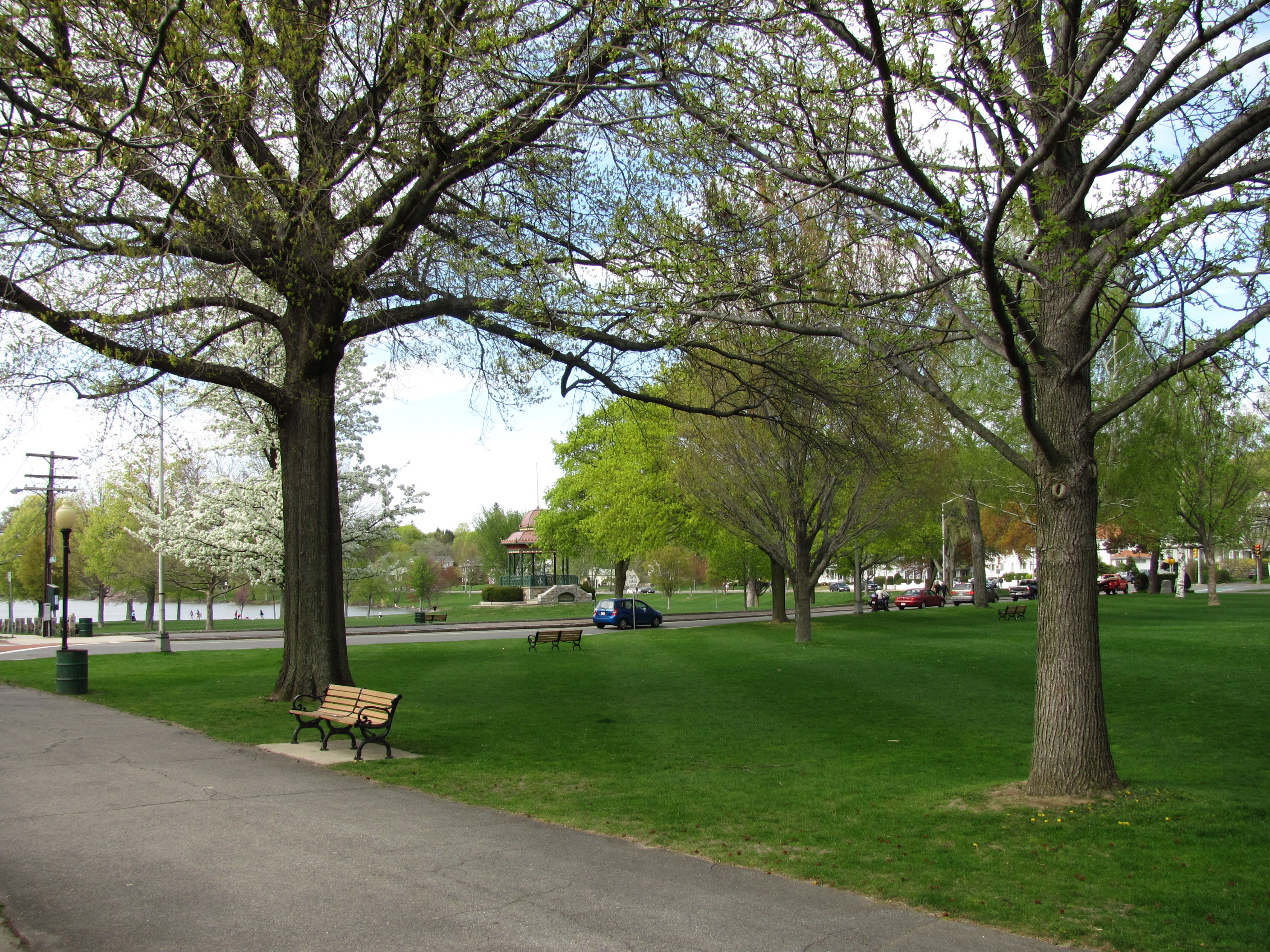
42°30′20″N 71°04′38″W / 42.505642°N 71.077105°W10 Common District 
March 2, 1990 Roughly bounded by Lake Quannapowitt, Main St., Common St., Church St., and Lake Ave.
42°30′23″N 71°4′23″W / 42.50639°N 71.07306°W11 Jonas Cowdry House July 6, 1989 61 Prospect St.
42°30′18″N 71°5′8″W / 42.505°N 71.08556°W12 Nathaniel Cowdry House 
July 6, 1989 71 Prospect St.
42°30′17″N 71°5′10″W / 42.50472°N 71.08611°W13 Emerson-Franklin Poole House July 6, 1989 23 Salem St.
42°30′31″N 71°4′10″W / 42.50861°N 71.06944°W14 Flanley's Block 
July 6, 1989 349-353 Main St.
42°30′16″N 71°4′19″W / 42.50444°N 71.07194°W15 Captain Goodwin-James Custis House March 2, 1990 1 Elm St.
42°30′21″N 71°4′52″W / 42.50583°N 71.08111°W16 Samuel Gould House July 6, 1989 48 Meriam St.
42°29′10″N 71°4′12″W / 42.48611°N 71.07°W17 Green House 
March 9, 1990 391 Vernon St.
42°31′23″N 71°03′53″W / 42.523°N 71.0647°WDuplicate listing for Capt. William Green House. 18 Capt. William Green House July 6, 1989 391 Vernon St.
42°31′23″N 71°03′53″W / 42.523°N 71.0647°WDuplicate listing for Green House. 19 Deacon Daniel Green House July 6, 1989 747 Main St.
42°29′29″N 71°4′10″W / 42.49139°N 71.06944°W20 Greenwood Union Church Listed building has been torn down. July 6, 1989 Main and Oak
42°28′57″N 71°4′0″W / 42.4825°N 71.066667°W21 House at 18A and 20 Aborn Street July 6, 1989 18A and 20 Aborn St.
42°30′45″N 71°4′20″W / 42.5125°N 71.07222°W22 House at 6 Adams Street July 6, 1989 6 Adams St.
42°30′7″N 71°5′13″W / 42.50194°N 71.08694°W23 House at 380 Albion Street 
July 6, 1989 380 Albion St.
42°29′32″N 71°5′8″W / 42.49222°N 71.08556°W24 House at 23 Avon Street 
July 6, 1989 23 Avon St.
42°30′15″N 71°4′26″W / 42.50417°N 71.07389°W25 House at 25 Avon Street 
July 6, 1989 25 Avon St.
42°30′15″N 71°4′29″W / 42.50417°N 71.07472°W26 House at 5 Bennett Street July 6, 1989 5 Bennett St.
42°29′59″N 71°4′10″W / 42.49972°N 71.06944°W27 House at 15 Chestnut Street 
July 6, 1989 15 Chestnut St.
42°30′13″N 71°4′26″W / 42.50361°N 71.07389°W28 House at 21 Chestnut Street July 6, 1989 21 Chestnut St.
42°30′12″N 71°4′29″W / 42.50333°N 71.07472°W29 House at 95 Chestnut Street 
July 6, 1989 95 Chestnut St.
42°30′6″N 71°5′0″W / 42.50167°N 71.083333°W30 House at 39 Converse Street 
July 6, 1989 39 Converse St.
42°29′59″N 71°5′9″W / 42.49972°N 71.08583°W31 House at 28 Cordis Street July 6, 1989 28 Cordis St.
42°30′55″N 71°4′19″W / 42.51528°N 71.07194°W32 House at 40 Crescent Street July 6, 1989 40 Crescent St.
42°30′13″N 71°4′8″W / 42.50361°N 71.06889°W33 House at 26 Francis Avenue 
July 6, 1989 26 Francis Ave.
42°29′0″N 71°3′46″W / 42.483333°N 71.06278°W34 House at 118 Greenwood Street 
July 6, 1989 118 Greenwood St.
42°28′28″N 71°4′12″W / 42.47444°N 71.07°W35 House at 20 Hancock Road July 6, 1989 20 Hancock Rd.
42°31′5″N 71°4′25″W / 42.51806°N 71.07361°W36 House at 42 Hopkins Street 
July 6, 1989 42 Hopkins St.
42°30′13″N 71°5′48″W / 42.50361°N 71.09667°W37 House at 15 Lawrence Avenue 
July 6, 1989 15 Lawrence Ave.
42°30′37″N 71°4′14″W / 42.51028°N 71.07056°W38 House at 20 Lawrence Street 
July 6, 1989 20 Lawrence St.
42°30′36″N 71°4′11″W / 42.51°N 71.06972°W39 House at 23 Lawrence Street 
July 6, 1989 23 Lawrence St.
42°30′40″N 71°4′10″W / 42.51111°N 71.06944°W40 House at 556 Lowell Street 
July 6, 1989 556 Lowell St.
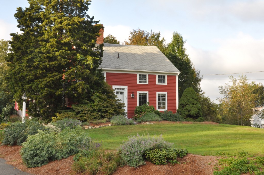
42°30′55″N 71°3′5″W / 42.51528°N 71.05139°W41 House at 190 Main Street 
July 6, 1989 190 Main St.
42°30′49″N 71°4′27″W / 42.51361°N 71.07417°W42 House at 196 Main Street 
July 6, 1989 196 Main St.
42°30′47″N 71°4′27″W / 42.51306°N 71.07417°W43 House at 1 Morrison Avenue 
July 6, 1989 1 Morrison Ave.
42°30′3″N 71°5′18″W / 42.50083°N 71.08833°W44 House at 20 Morrison Road 
July 6, 1989 20 Morrison Rd.
42°30′5″N 71°5′25″W / 42.50139°N 71.09028°W45 House at 32 Morrison Road 
July 6, 1989 32 Morrison Rd.
42°30′1″N 71°5′20″W / 42.50028°N 71.08889°W46 House at 2 Nichols Street July 6, 1989 2 Nichols St.
42°30′21″N 71°5′2″W / 42.50583°N 71.08389°W47 House at 509 North Avenue July 6, 1989 509 North Ave.
42°30′35″N 71°4′54″W / 42.50972°N 71.08167°W48 House at 52 Oak Street July 6, 1989 52 Oak St.
42°29′09″N 71°03′46″W / 42.485881°N 71.062878°W49 House at 8 Park Street 
July 6, 1989 8 Park St.
42°30′23″N 71°04′15″W / 42.506401°N 71.070882°W50 House at 18 Park Street 
July 6, 1989 18 Park St.
42°30′23″N 71°4′13″W / 42.50639°N 71.07028°W51 House at 22 Parker Road July 6, 1989 22 Parker Rd.
42°30′17″N 71°5′16″W / 42.50472°N 71.08778°W52 House at 88 Prospect Street July 6, 1989 88 Prospect St.
42°30′14″N 71°5′10″W / 42.50389°N 71.08611°W53 House at 90 Prospect Street July 6, 1989 90 Prospect St.
42°30′13″N 71°5′11″W / 42.50361°N 71.08639°W54 House at 7 Salem Street 
July 6, 1989 7 Salem St.
42°30′30″N 71°04′14″W / 42.508383°N 71.070621°W55 House at 19-21 Salem Street 
July 6, 1989 19-21 Salem St.
42°30′31″N 71°4′11″W / 42.50861°N 71.06972°W56 House at 38 Salem Street July 6, 1989 38 Salem St.
42°30′32″N 71°4′6″W / 42.50889°N 71.06833°W57 House at 113 Salem Street July 6, 1989 113 Salem St.
42°30′33″N 71°04′04″W / 42.509032°N 71.067660°W58 House at 13 Sheffield Road 
July 6, 1989 13 Sheffield Rd.
42°30′12″N 71°5′22″W / 42.50333°N 71.08944°W59 House at 30 Sheffield Road 
July 6, 1989 30 Sheffield Rd.
42°30′13″N 71°05′24″W / 42.503606°N 71.089890°W60 House at 54 Spring Street 
July 6, 1989 54 Spring St.
42°28′31″N 71°4′19″W / 42.47528°N 71.07194°W61 House at 193 Vernon Street July 6, 1989 193 Vernon St.
42°30′41″N 71°4′1″W / 42.51139°N 71.06694°W62 House at 12 West Water Street 
July 6, 1989 12 W. Water St.
42°30′7″N 71°4′17″W / 42.50194°N 71.07139°W63 House at 11 Wave Avenue 
July 6, 1989 11 Wave Ave.
42°30′40″N 71°4′15″W / 42.51111°N 71.07083°W64 House at 15 Wave Avenue 
July 6, 1989 15 Wave Ave.
42°30′40″N 71°4′14″W / 42.51111°N 71.07056°W65 House at 9 White Avenue 
July 6, 1989 9 White Ave.
42°30′41″N 71°4′19″W / 42.51139°N 71.07194°W66 House at 28 Wiley Street 
July 6, 1989 28 Wiley St.
42°29′50″N 71°2′50″W / 42.49722°N 71.04722°W67 House at 1 Woodcrest Drive 
July 6, 1989 1 Woodcrest Dr.
42°31′11″N 71°3′51″W / 42.51972°N 71.06417°W68 Item Building 
July 6, 1989 26 Albion St.
42°30′11″N 71°4′19″W / 42.50306°N 71.07194°W69 Dr. Charles Jordan House 
July 6, 1989 9 Jordan Ave.
42°29′55″N 71°5′8″W / 42.49861°N 71.08556°W70 Deacon Thomas Kendall House 
July 6, 1989 One Prospect St.
42°30′20″N 71°4′48″W / 42.50556°N 71.08°W71 Lakeside Cemetery Chapel July 6, 1989 North Ave.
42°30′36″N 71°4′51″W / 42.51°N 71.08083°W72 Lynnwood July 6, 1989 5 Linden Ave.
42°29′25″N 71°4′20″W / 42.49028°N 71.07222°W73 Massachusetts State Armory 
July 6, 1989 Main St.
42°30′5″N 71°4′13″W / 42.50139°N 71.07028°W74 Dr. S.O. Richardson House July 6, 1989 694 Main St.
42°29′43″N 71°4′9″W / 42.49528°N 71.06917°W75 Dr. Thomas Simpson House July 6, 1989 114 Main St.
42°31′6″N 71°4′35″W / 42.51833°N 71.07639°W76 South Reading Academy July 6, 1989 7 Foster St.
42°30′11″N 71°4′19″W / 42.50306°N 71.07194°W77 St. Joseph's School July 6, 1989 Gould St.
42°30′2″N 71°4′45″W / 42.50056°N 71.07917°W78 William Stimpson House July 6, 1989 22 Prospect St.
42°30′20″N 71°4′52″W / 42.50556°N 71.08111°W79 Daniel Sweetser House 
July 6, 1989 458 Lowell St.
42°31′0″N 71°3′32″W / 42.516667°N 71.05889°W80 Michael Sweetser House July 6, 1989 15 Nahant St.
42°29′52″N 71°04′08″W / 42.497653°N 71.068822°W81 Temple Israel Cemetery July 6, 1989 North Ave.
42°30′33″N 71°4′49″W / 42.50917°N 71.08028°W82 D. Horace Tilton House 
July 6, 1989 379 Albion St.
42°29′34″N 71°5′9″W / 42.49278°N 71.08583°W83 US Post Office-Wakefield Main 
October 19, 1987 321 Main St.
42°30′17.7″N 71°4′19.2″W / 42.504917°N 71.072°W84 Wakefield Park 
March 2, 1990 Roughly Park Ave. between Summit Ave. and Chestnut St.
42°30′3″N 71°5′5″W / 42.50083°N 71.08472°W85 Wakefield Rattan Co. July 6, 1989 134 Water St.
42°30′11″N 71°3′59″W / 42.50306°N 71.06639°W86 Wakefield Trust Company 
July 6, 1989 371 Main St.
42°30′14″N 71°4′17″W / 42.50389°N 71.07139°W87 Wakefield Upper Depot 
July 6, 1989 27-29 Tuttle St.
42°30′7″N 71°4′35″W / 42.50194°N 71.07639°W88 H.M. Warren School 
July 6, 1989 30 Converse St.
42°29′57″N 71°5′5″W / 42.49917°N 71.08472°W89 West Ward School 
July 6, 1989 39 Prospect St.
42°30′21″N 71°4′59″W / 42.50583°N 71.08306°W90 Suell Winn House July 6, 1989 72-74 Elm St.
42°30′33″N 71°05′04″W / 42.509122°N 71.084422°W91 Charles Winship House July 6, 1989 13 Mansion Rd.
42°29′51″N 71°5′10″W / 42.4975°N 71.08611°W92 Woodville School Listed building has been torn down. July 6, 1989 Farm St.
42°29′52″N 71°3′4″W / 42.49778°N 71.05111°W93 Woodward Homestead July 6, 1989 17 Main St.
42°31′27″N 71°4′46″W / 42.52417°N 71.07944°W94 Yale Avenue Historic District July 6, 1989 16-25 Yale Ave.
42°30′18″N 71°04′24″W / 42.504867°N 71.073457°WReferences
- ^ The latitude and longitude information provided in this table was derived originally from the National Register Information System, which has been found to be fairly accurate for about 99% of listings. For about 1% of NRIS original coordinates, experience has shown that one or both coordinates are typos or otherwise extremely far off; some corrections may have been made. A more subtle problem causes many locations to be off by up to 150 yards, depending on location in the country: most NRIS coordinates were derived from tracing out latitude and longitudes off of USGS topographical quadrant maps created under the North American Datum of 1927, which differs from the current, highly accurate WGS84 GPS system used by Google maps. Chicago is about right, but NRIS longitudes in Washington are higher by about 4.5 seconds, and are lower by about 2.0 seconds in Maine. Latitudes differ by about 1.0 second in Florida. Some locations in this table may have been corrected to current GPS standards.
- ^ "National Register of Historic Places: Weekly List Actions". National Park Service, United States Department of the Interior. Retrieved on November 10, 2011.
U.S. National Register of Historic Places Topics Lists by states Alabama • Alaska • Arizona • Arkansas • California • Colorado • Connecticut • Delaware • Florida • Georgia • Hawaii • Idaho • Illinois • Indiana • Iowa • Kansas • Kentucky • Louisiana • Maine • Maryland • Massachusetts • Michigan • Minnesota • Mississippi • Missouri • Montana • Nebraska • Nevada • New Hampshire • New Jersey • New Mexico • New York • North Carolina • North Dakota • Ohio • Oklahoma • Oregon • Pennsylvania • Rhode Island • South Carolina • South Dakota • Tennessee • Texas • Utah • Vermont • Virginia • Washington • West Virginia • Wisconsin • WyomingLists by territories Lists by associated states Other Categories:- Wakefield, Massachusetts
- Lists of National Register of Historic Places listings in Massachusetts by populated place
-


Wikimedia Foundation. 2010.