- National Register of Historic Places listings in Scotts Bluff County, Nebraska
-
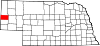
 Location of Scotts Bluff County in Nebraska
This is a list of the National Register of Historic Places listings in Scotts Bluff County, Nebraska.
This is intended to be a complete list of the properties and districts on the National Register of Historic Places in Scotts Bluff County, Nebraska, United States. The locations of National Register properties and districts for which the latitude and longitude coordinates are included below, may be seen in a Google map.[1]
There are 21 properties and districts listed on the National Register in the county, including 2 National Historic Landmarks.
-
- This National Park Service list is complete through NPS recent listings posted November 10, 2011.[2]
Current listings
[3] Landmark name Image Date listed Location City or town Summary 1 Fontenelle Apartment House July 23, 1998 1424 4th Ave.
41°51′40″N 103°39′25″W / 41.861111°N 103.656944°WScottsbluff 2 Fort Mitchell Site June 7, 1978 Southwest of Scottsbluff
41°50′30″N 103°43′50″W / 41.84167°N 103.73056°W[4]Scottsbluff 3 Gering Courier Building 
October 15, 2004 1428 10th St.
41°49′23″N 103°39′34″W / 41.823056°N 103.659444°WGering 4 Henry State Aid Bridges June 29, 1992 Nebraska Highway 86 over the North Platte River, 0.6 miles south of Henry
41°59′50″N 104°02′50″W / 41.997222°N 104.047222°WHenry 5 Interstate Canal Bridge 
June 29, 1992 County road over Interstate Canal, 9.3 miles north of Scottsbluff
41°59′50″N 103°38′18″W / 41.997222°N 103.638333°WScottsbluff 6 Knorr-Holden Continuous Corn Plot June 11, 1992 Scottsbluff Experiment Station, off Nebraska Highway 71 north of Scottsbluff
41°56′59″N 103°42′26″W / 41.949722°N 103.707222°WScottsbluff 7 Lincoln Hotel 
March 5, 1998 1421 Broadway
41°51′40″N 103°39′43″W / 41.861111°N 103.661944°WScottsbluff 8 Marquis Opera House 
October 10, 1985 1601-1603 Broadway
41°51′45″N 103°39′43″W / 41.8625°N 103.661944°WScottsbluff 9 Midwest Theater 
July 3, 1997 1707 Broadway
41°51′49″N 103°39′44″W / 41.863611°N 103.662222°WScottsbluff 10 M.B. Quivey House March 24, 1983 1462 19th Ave.
41°56′33″N 103°48′48″W / 41.9425°N 103.813333°WMitchell 11 Robidoux Pass 
October 15, 1966 9 miles west of Gering
41°48′32″N 103°50′12″W / 41.808889°N 103.836667°WGering 12 Saddle Club December 27, 2007 2000 W. Overland
41°51′27″N 103°41′34″W / 41.8575°N 103.692778°WScottsbluff 13 Sandford Hall July 9, 1997 130625 County Road E
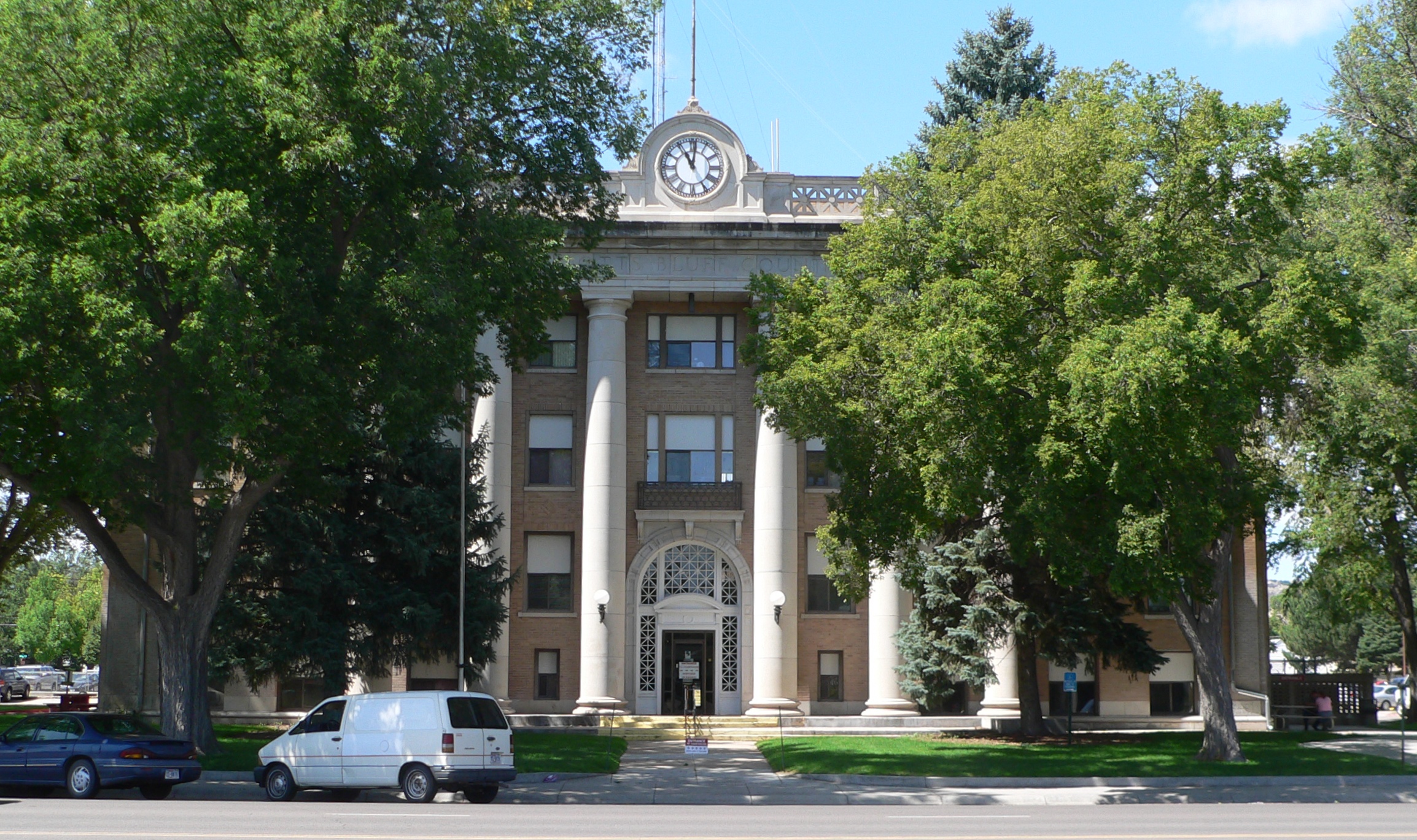
41°56′25″N 103°49′17″W / 41.940278°N 103.821389°WMitchell 14 Scotts Bluff County Courthouse 
January 10, 1990 10th and Q Sts.
41°49′35″N 103°39′37″W / 41.826389°N 103.660278°WGering 15 Scotts Bluff National Monument 
October 15, 1966 3 miles west of Gering on Nebraska Highway 92
41°50′03″N 103°42′24″W / 41.834167°N 103.706667°WGering 16 Scottsbluff Carnegie Library 
September 3, 1981 106 E. 18th St.
41°51′51″N 103°39′38″W / 41.864167°N 103.660556°WScottsbluff 17 Signal Butte 
October 15, 1966 West of Gering
41°47′50″N 103°54′24″W / 41.79722°N 103.90667°W[5]Gering 18 Severin Sorensen House March 31, 1983 2345 17th St.
41°49′56″N 103°40′12″W / 41.832222°N 103.67°WGering 19 Tri-State Land Company Headquarters Building January 25, 1997 13 W. Overland St.
41°51′35″N 103°39′46″W / 41.859722°N 103.662778°WScottsbluff 20 US Post Office-Scottsbluff 
October 5, 1989 120 E. 16th St.
41°51′44″N 103°39′35″W / 41.862222°N 103.659722°WScottsbluff 21 Western Public Service Building 
October 15, 2004 1721 Broadway
41°51′51″N 103°39′43″W / 41.864167°N 103.661944°WScottsbluff See also
- List of National Historic Landmarks in Nebraska
- National Register of Historic Places listings in Nebraska
References
- ^ The latitude and longitude information provided in this table was derived originally from the National Register Information System, which has been found to be fairly accurate for about 99% of listings. For about 1% of NRIS original coordinates, experience has shown that one or both coordinates are typos or otherwise extremely far off; some corrections may have been made. A more subtle problem causes many locations to be off by up to 150 yards, depending on location in the country: most NRIS coordinates were derived from tracing out latitude and longitudes off of USGS topographical quadrant maps created under the North American Datum of 1927, which differs from the current, highly accurate WGS84 GPS system used by Google maps. Chicago is about right, but NRIS longitudes in Washington are higher by about 4.5 seconds, and are lower by about 2.0 seconds in Maine. Latitudes differ by about 1.0 second in Florida. Some locations in this table may have been corrected to current GPS standards.
- ^ "National Register of Historic Places: Weekly List Actions". National Park Service, United States Department of the Interior. Retrieved on November 10, 2011.
- ^ Numbers represent an ordering by significant words. Various colorings, defined here, differentiate National Historic Landmark sites and National Register of Historic Places Districts from other NRHP buildings, structures, sites or objects.
- ^ Location derived from its GNIS feature record; the NRIS lists the site as "Address Restricted"
- ^ Location derived from its GNIS entry; the NRIS lists it as "Address Restricted"
U.S. National Register of Historic Places Topics Lists by states Alabama • Alaska • Arizona • Arkansas • California • Colorado • Connecticut • Delaware • Florida • Georgia • Hawaii • Idaho • Illinois • Indiana • Iowa • Kansas • Kentucky • Louisiana • Maine • Maryland • Massachusetts • Michigan • Minnesota • Mississippi • Missouri • Montana • Nebraska • Nevada • New Hampshire • New Jersey • New Mexico • New York • North Carolina • North Dakota • Ohio • Oklahoma • Oregon • Pennsylvania • Rhode Island • South Carolina • South Dakota • Tennessee • Texas • Utah • Vermont • Virginia • Washington • West Virginia • Wisconsin • WyomingLists by territories Lists by associated states Other Municipalities and communities of Scotts Bluff County, Nebraska Cities Gering | Minatare | Mitchell | Scottsbluff
Villages Categories:- National Register of Historic Places in Nebraska by county
- Scotts Bluff County, Nebraska
- Buildings and structures in Scotts Bluff County, Nebraska
-


Wikimedia Foundation. 2010.