- National Register of Historic Places listings in Mount Rainier National Park
-
This is a list of the National Register of Historic Places listings in Mount Rainier National Park.
This is intended to be a complete list of the properties and districts on the National Register of Historic Places in Mount Rainier National Park, Washington, United States. The locations of National Register properties and districts for which the latitude and longitude coordinates are included below, may be seen in a Google map.[1]
There are 42 properties and districts listed on the National Register in the park, four of which are National Historic Landmarks. The entire park has been designated a National Historic Landmark District.
-
- This National Park Service list is complete through NPS recent listings posted November 10, 2011.[2]
Current listings
See also
- National Register of Historic Places listings in Pierce County, Washington
- National Register of Historic Places listings in Lewis County, Washington
- List of National Historic Landmarks in Washington
- National Register of Historic Places listings in Washington
References
- Toothman, Stephanie; Begley, Susan; Carr, Ethan. National Register of Historic Places Multiple Property Documentation Form: Mount Rainier National Park. National Park Service 1996 [1]
- ^ The latitude and longitude information provided in this table was derived originally from the National Register Information System, which has been found to be fairly accurate for about 99% of listings. For about 1% of NRIS original coordinates, experience has shown that one or both coordinates are typos or otherwise extremely far off; some corrections may have been made. A more subtle problem causes many locations to be off by up to 150 yards, depending on location in the country: most NRIS coordinates were derived from tracing out latitude and longitudes off of USGS topographical quadrant maps created under North American Datum of 1927, which differs from the current, highly accurate GPS system used by Google maps. Chicago is about right, but NRIS longitudes in Washington are higher by about 4.5 seconds, and are lower by about 2.0 seconds in Maine. Latitudes differ by about 1.0 second in Florida. Some locations in this table may have been corrected to current GPS standards.
- ^ "National Register of Historic Places: Weekly List Actions". National Park Service, United States Department of the Interior. Retrieved on November 10, 2011.
- ^ Numbers represent an ordering by significant words. Various colorings, defined here, differentiate National Historic Landmark sites and National Register of Historic Places Districts from other NRHP buildings, structures, sites or objects.
- ^ "National Register Information System". National Register of Historic Places. National Park Service. . http://nrhp.focus.nps.gov/natreg/docs/All_Data.html.
- ^ Filley 1996, p. 221
- ^ Filley 1996, p. 135
- ^ "Mount Rainier Historic Structures". http://www.nps.gov/archive/mora/ncrd/historic.htm. Retrieved 2008-02-23.
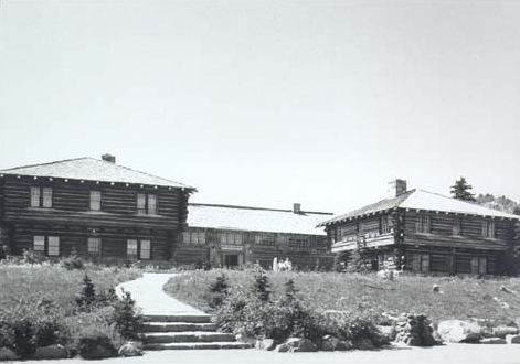
National Register of Historic Places in Mount Rainier National Park National Historic Landmarks - Longmire Buildings
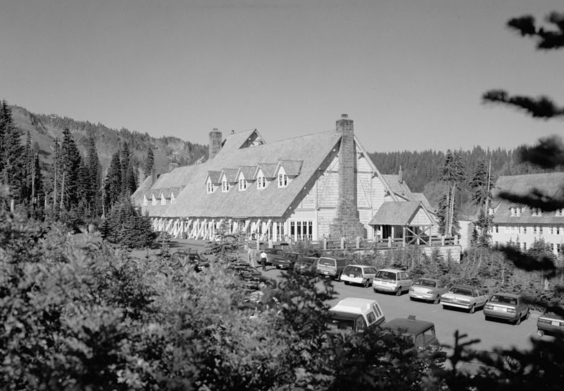
- Paradise Inn
National Historic Landmark District Other historic districts - Longmire Historic District
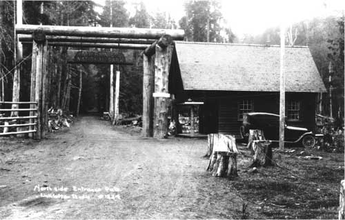
- Nisqually Entrance Historic District
- Paradise Historic District
- Sunrise Historic District
- White River Entrance
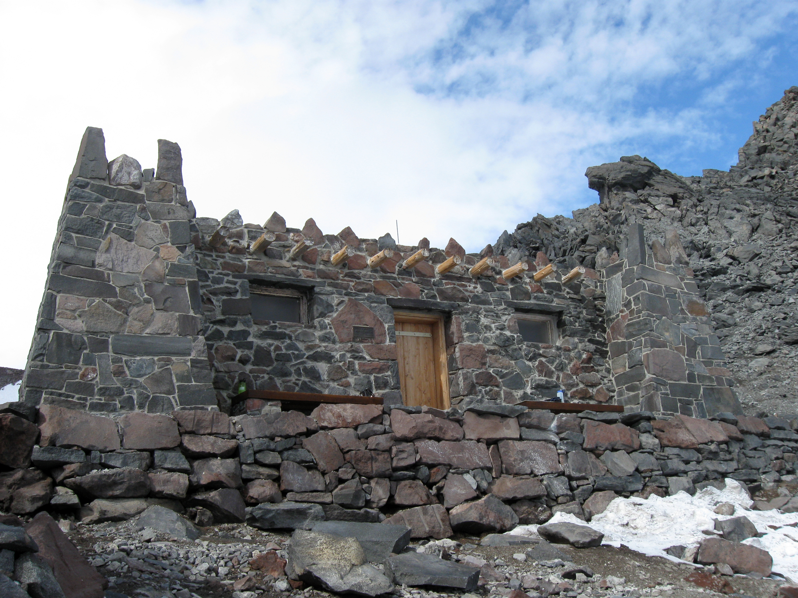
Other properties - Camp Muir
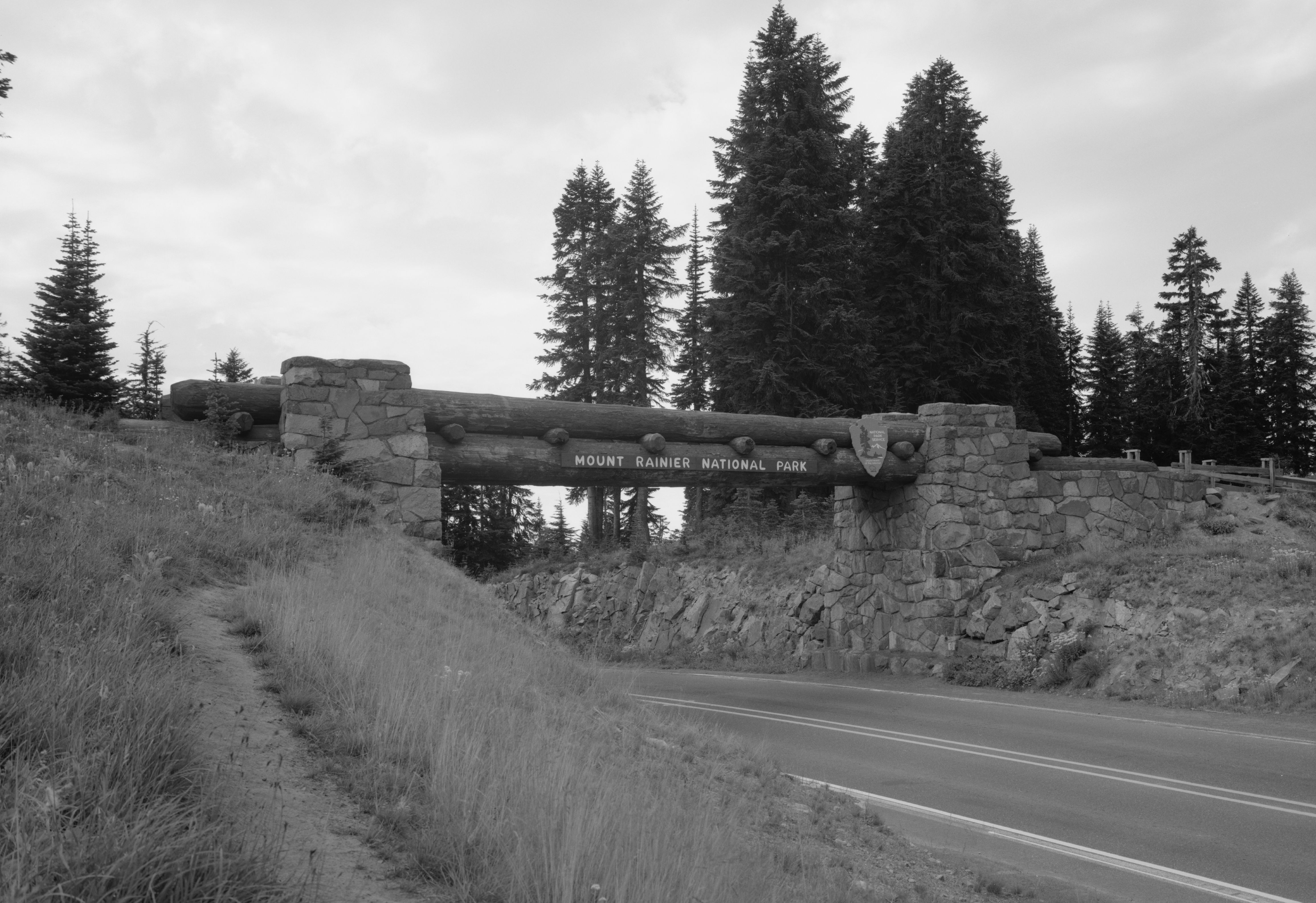
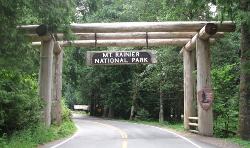
- Chinook Pass Entrance Arch
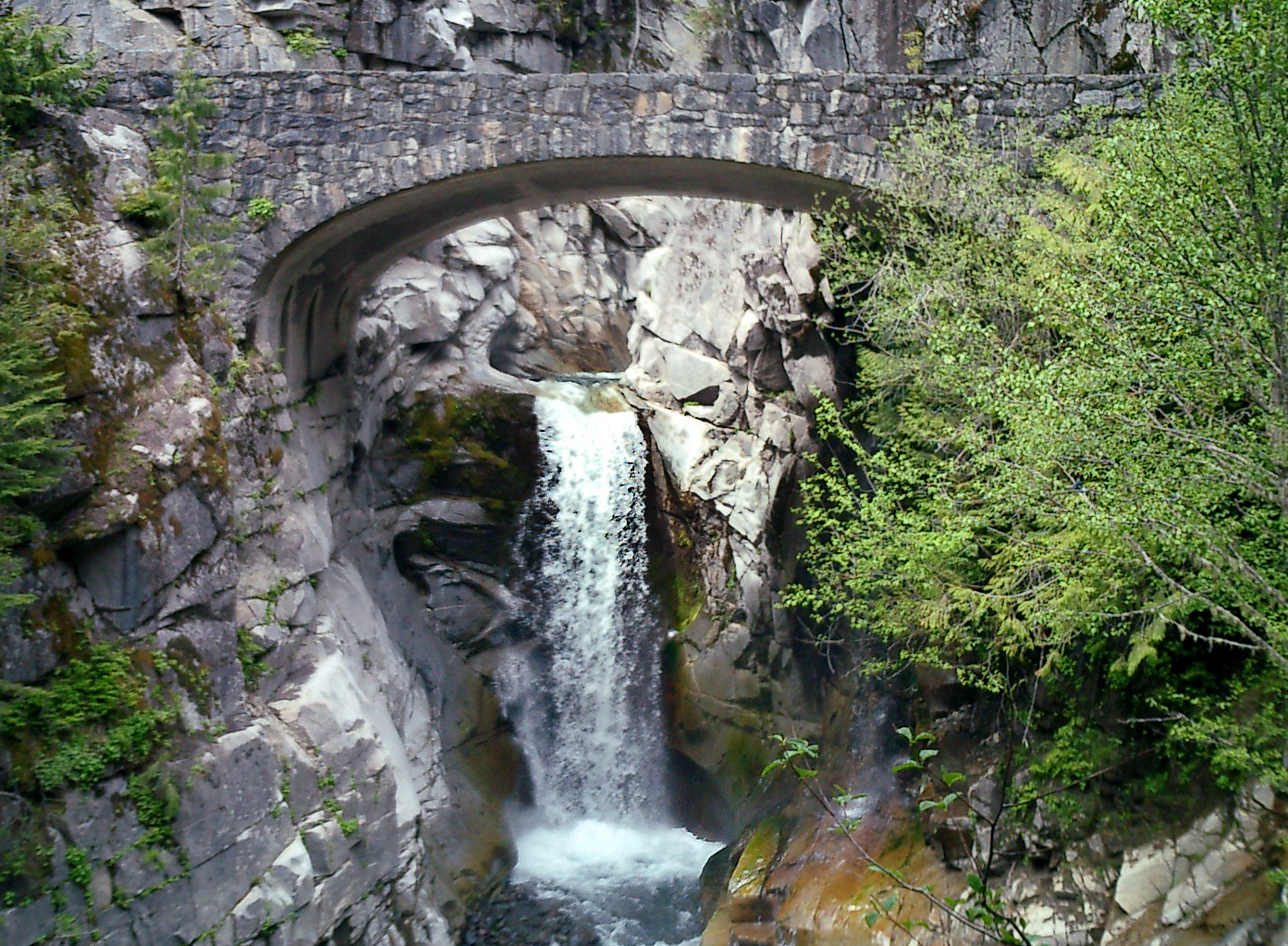
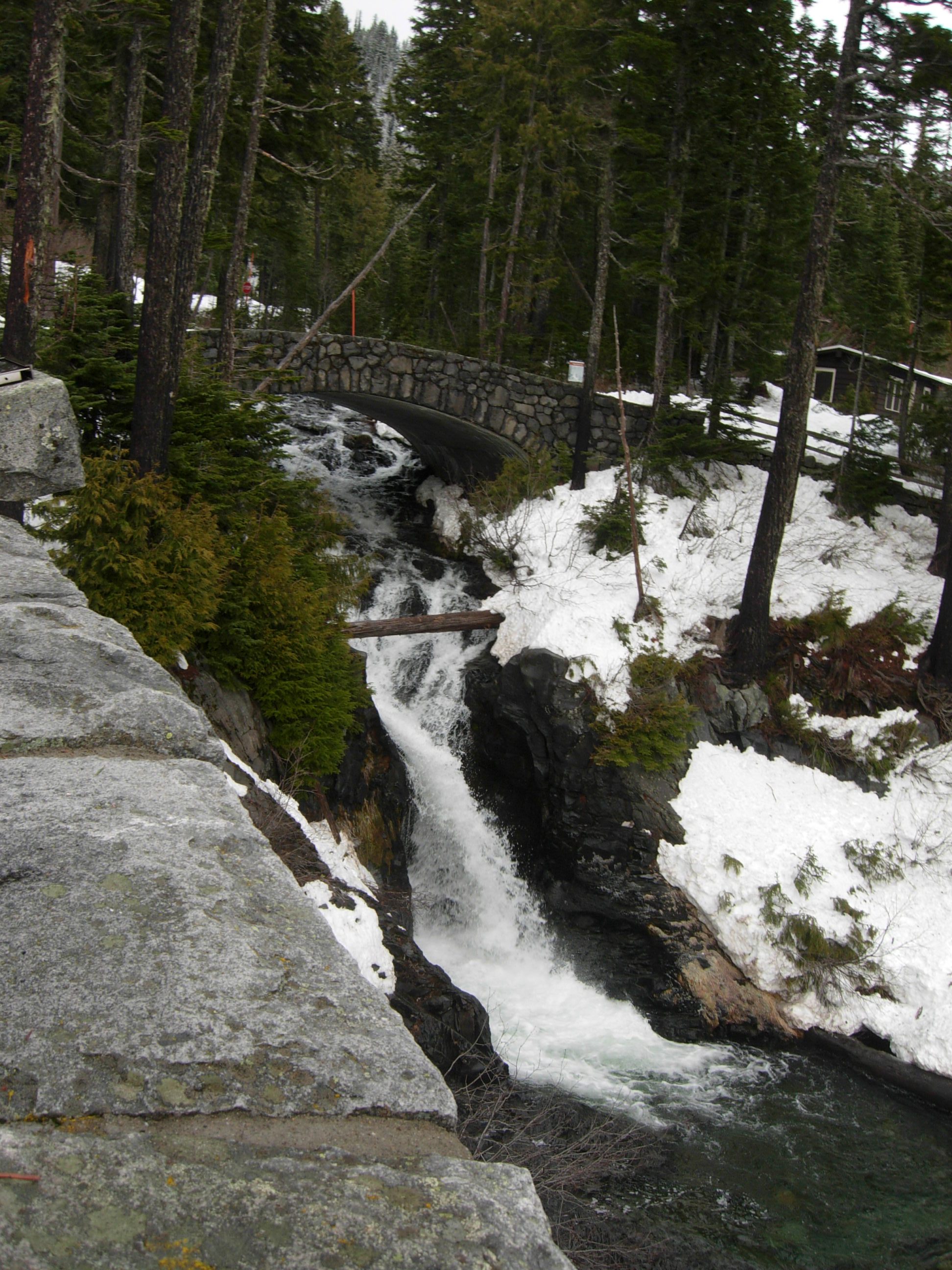
- Christine Falls Bridge
- Edith Creek Chlorination House
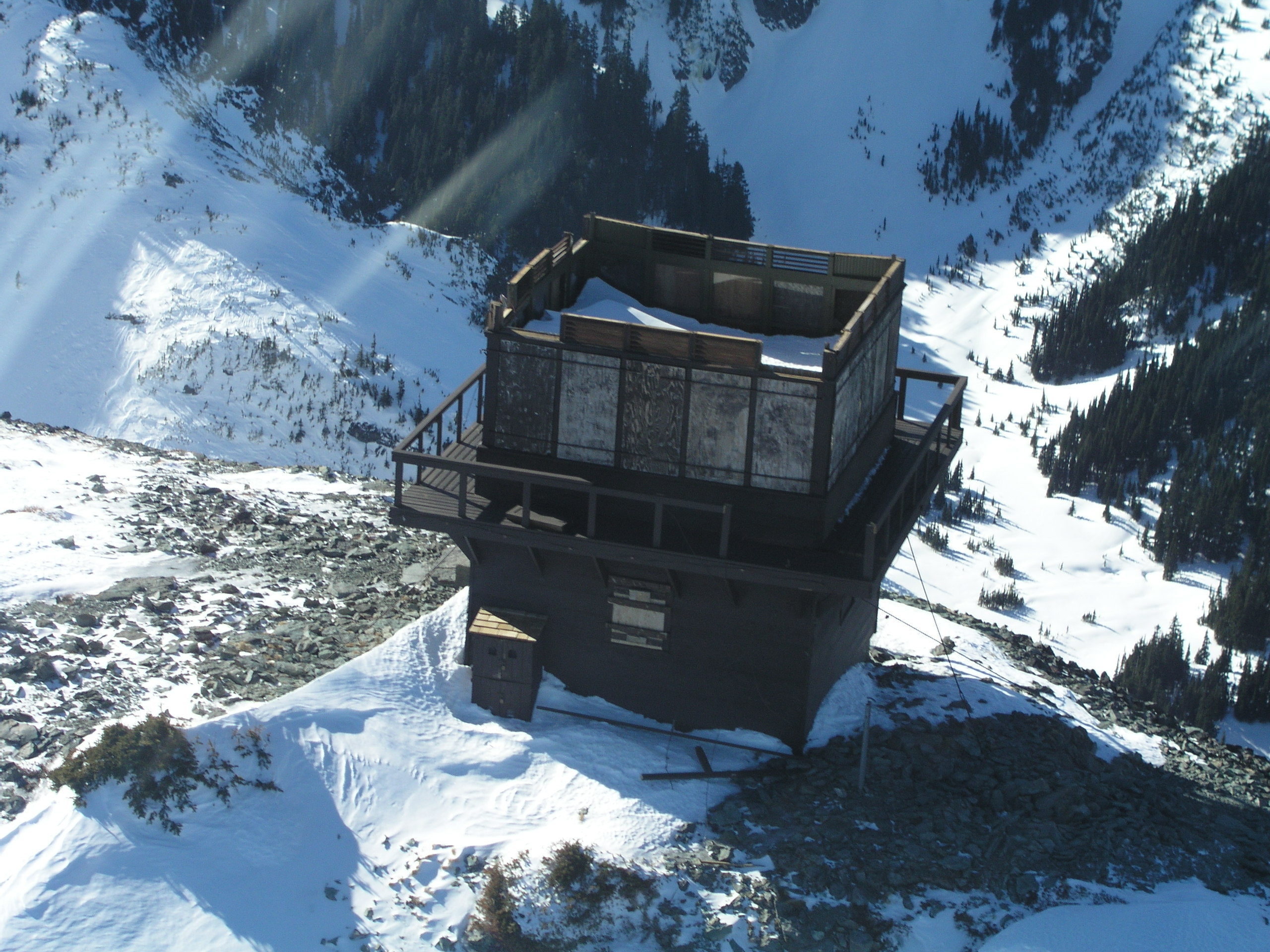
- Gobbler's Knob Fire Lookout
- Huckleberry Creek Patrol Cabin
- Indian Bar Trail Shelter
- Indian Henry's Patrol Cabin
- Ipsut Creek Patrol Cabin
- Lake George Patrol Cabin
- Longmire Campground Comfort Station No. L-302
- Longmire Campground Comfort Station No. L-303
- Longmire Campground Comfort Station No. L-304
- Mt. Fremont Fire Lookout
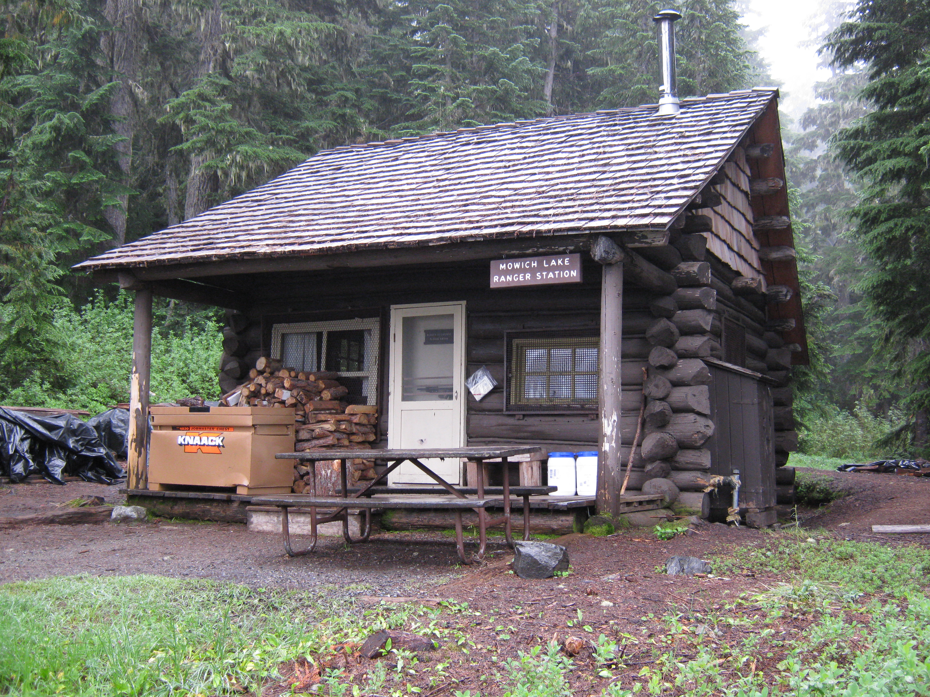
- Mowich Lake Patrol Cabin
- Narada Falls Bridge
- Narada Falls Comfort Station
- North Mowich Trail Shelter
- Shriner Peak Fire Lookout
- South Puyallup River Bridge
- St. Andrews Creek Bridge
- St. Andrews Patrol Cabin
- Summerland Trail Shelter
- Sunrise Comfort Station
- Sunset Park Patrol Cabin
- Sunset Park Trail Shelter
- Tahoma Vista Comfort Station
- Three Lakes Patrol Cabin
- Tipsoo Lake Comfort Station
- Tolmie Peak Fire Lookout
- White River Bridge
- White River Mess Hall and Dormitory
- White River Patrol Cabin
See also: National Register of Historic Places listings in Mount Rainier National Park U.S. National Register of Historic Places Topics Lists by states Alabama • Alaska • Arizona • Arkansas • California • Colorado • Connecticut • Delaware • Florida • Georgia • Hawaii • Idaho • Illinois • Indiana • Iowa • Kansas • Kentucky • Louisiana • Maine • Maryland • Massachusetts • Michigan • Minnesota • Mississippi • Missouri • Montana • Nebraska • Nevada • New Hampshire • New Jersey • New Mexico • New York • North Carolina • North Dakota • Ohio • Oklahoma • Oregon • Pennsylvania • Rhode Island • South Carolina • South Dakota • Tennessee • Texas • Utah • Vermont • Virginia • Washington • West Virginia • Wisconsin • WyomingLists by territories Lists by associated states Other  Category:National Register of Historic Places •
  Portal:National Register of Historic PlacesCategories:
- National Register of Historic Places listings in Pierce County, Washington
- Buildings and structures in Mount Rainier National Park
- National Register of Historic Places lists in the National Park Service
-


Wikimedia Foundation. 2010.