- Müglitz (river)
-
Müglitz 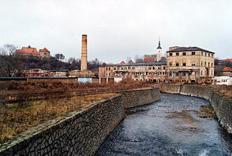
The Müglitz in Dohna
Data Location Saxony,  Germany
Reference no. DE: 53718 Length 49 km Source in the Eastern Ore Mountains on the border between Saxony and Czechia
50°43′38″N 13°49′01″E / 50.7271484°N 13.8168802°ECoordinates: 50°43′38″N 13°49′01″E / 50.7271484°N 13.8168802°ESource height 749 m above sea level Mouth in Heidenau into the Elbe
50°58′38″N 13°52′56″E / 50.9773°N 13.8823°EMouth height 113 m above sea level Descent 636 m Basin Elbe Progression Elbe → North Sea Catchment 209 km² Small towns Altenberg, Glashütte, Dohna, Heidenau Villages Müglitztal  Müglitz valley near Weesenstein
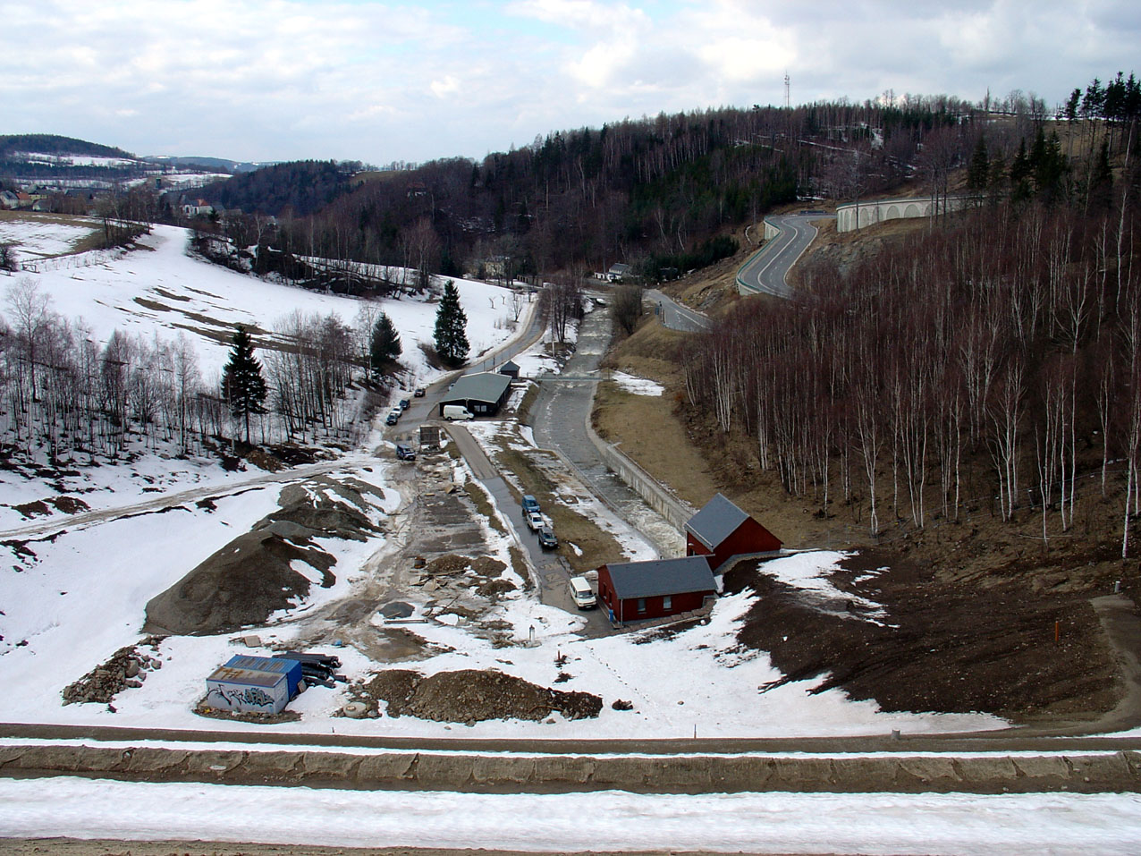
 View of the Upper Müglitz valley from the crest of the retention basin
The Müglitz is a river, about 49 km long, and a left tributary of the Elbe in the German state of Saxony.
Course
It rises in the Eastern Ore Mountains on the border between the German state of Saxony and the Czech Republic near the demolished Bohemian village of Mohelnice (Germah: Müglitz) from two headstreams:
- The White Müglitz (German: Weiße Müglitz, Czech: Mohelnice) rises near the border by the former village of Vorderzinnwald (Cz: Přední Cínovec) and then forms the border stream with Saxony.
- The Black Müglitz ((German: Schwarze Müglitz, Schwarzbach, Sörnitz or Sernitz, Czech: Černý potok) rises near the abandoned village of Ebersdorf (Cz: Habartice) and its middle reaches flow through the northern part of the Black (i.e. boggy) Meadows (Schwarzen Wiesen). The name Sörnitz comes from the Slavic Zornice (= mill stream). During severe weather on 8 July 1927 the stream became a torrent, that tore up the ground, changed its riverbed and flowed down the valley as a mud flow. From its source in the Haberfeldwald forest the stream forms the state border for about 2 km.
From the German village of Müglitz, that lies only just below the confluence of the White and Black Müglitz, the Müglitz runs entirely on Saxon territory. It flows by several villages including Lauenstein, Glashütte, Müglitztal and Dohna, before emptying into the Elbe at Heidenau.
Sources
- Deutsche Akademie der Wissenschaften zu Berlin [Hrsg.]: Um Altenberg, Geising und Lauenstein. Werte der deutschen Heimat, Band 7. Berlin 1964.
- Martin Ernst & Manfred Stephan: Rezente Hochflutsedimente der Müglitz südlich Dresden (Erzgebirge, Sachsen) im Vergleich mit Sandsteinbänken der Erdgeschichte. Jahresberichte und Mitteilungen des Oberrheinischen Geologischen Vereins, Neue Folge, 89: 11–35, Stuttgart 2007.
- Jürgen Helfricht: Wahre Geschichten um Sachsens schönstes Tal. Tauchaer Verlag, Taucha 2000, ISBN 3897720221.
External links
Categories:- Elbe basin
- Rivers of Saxony
- Climbing areas of Germany
- Rivers of the Ore Mountains


Wikimedia Foundation. 2010.