- Muir of Allangrange
-
Coordinates: 57°32′10″N 4°24′30″W / 57.53615°N 4.40827°W
Muir of Allangrange 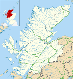
 Muir of Allangrange
Muir of Allangrange shown within the Highland council areaOS grid reference NH559521 Council area Highland Country Scotland Sovereign state United Kingdom Post town Muir of Ord Postcode district IV6 7 Police Northern Fire Highlands and Islands Ambulance Scottish EU Parliament Scotland List of places: UK • Scotland • Muir of Allangrange is a scattered crofting township, lying 3 miles northeast of Muir of Ord on the western side of the Black Isle, in Ross-shire, Scottish Highlands and is in the Scottish council area of Highland.
Categories:- Populated places in Ross and Cromarty
- Highland geography stubs

Wikimedia Foundation. 2010.