- Mudgegonga, Victoria
-
Mudgegonga
Victoria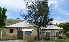
Public hall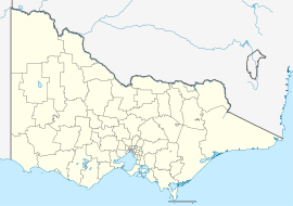
 Mudgegonga
Population: 384[1] Postcode: 3737 Location: - 316 km (196 mi) NE of Melbourne
- 62 km (39 mi) SE of Wangaratta
- 17 km (11 mi) NE of Myrtleford
LGA: Alpine Shire, Shire of Indigo State District: Benalla, Benambra Federal Division: Indi Mudgegonga is a locality in north east Victoria, Australia. The locality is 316 kilometres (196 mi) north east of the state capital, Melbourne. At the 2006 census, Mudgegonga had a population of 384.[1]
The localilty was affected by the Black Saturday bushfires, with two deaths in the region.[2]
References
- ^ a b Australian Bureau of Statistics (25 October 2007). "Mudgegonga (State Suburb)". 2006 Census QuickStats. http://www.censusdata.abs.gov.au/ABSNavigation/prenav/LocationSearch?collection=Census&period=2006&areacode=SSC26245&producttype=QuickStats&breadcrumb=PL&action=401. Retrieved 2009-02-08.
- ^ "Victoria under siege as fires rage across state". Herald Sun. 8 February 2009. http://www.news.com.au/heraldsun/story/0,21985,25022560-2862,00.html. Retrieved 2009-02-08.[dead link]
Categories:- Towns in Victoria (Australia)
- Victoria (Australia) geography stubs


Wikimedia Foundation. 2010.