- Mountain Road, Virginia
-
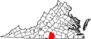
Mountain Road — CDP — Location within the Commonwealth of Virginia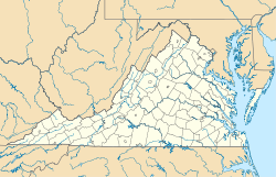
 Mountain Road
Coordinates: 36°45′9″N 78°59′15″W / 36.7525°N 78.9875°WCoordinates: 36°45′9″N 78°59′15″W / 36.7525°N 78.9875°W Country United States State Virginia County Halifax Time zone Eastern (EST) (UTC-5) – Summer (DST) EDT (UTC-4) ZIP codes 24558, 24592 FIPS code 51-53584 GNIS feature ID 2584885 Mountain Road is a census-designated place in Halifax County, Virginia. The population as of the 2010 Census was 1,100.[1] It is an area centered along Virginia Route 360 (Mountain Road) west of Halifax.
References
- ^ Virginia Trend Report 2: State and Complete Places (Sub-state 2010 Census Data). Missouri Census Data Center. Accessed 2011-06-08.
Municipalities and communities of Halifax County, Virginia Towns Clarksville‡ | Halifax | Scottsburg | South Boston | Virgilina
CDP Clover | Cluster Springs | Mountain Road | Nathalie | Riverdale
Unincorporated
communitiesFootnotes ‡This populated place also has portions in an adjacent county or counties
Categories:- Populated places in Halifax County, Virginia
- Census-designated places in Virginia
- Virginia geography stubs


Wikimedia Foundation. 2010.