- Mount Zion (Washington)
-
Mount Zion Clallam County, Washington, USA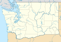
 Mount Zion
Elevation 4,278 ft (1,304 m) NGVD 29[1] Prominence 1,318 ft (402 m) [1] Location Range Olympic Mountains Coordinates 47°55′24″N 123°00′38″W / 47.9234239°N 123.0104492°WCoordinates: 47°55′24″N 123°00′38″W / 47.9234239°N 123.0104492°W[2] Topo map USGS Mount Zion Climbing Easiest route Trail hike Mount Zion is a 4,278-foot (1,304 m) peak in the Olympic National Forest. The peak is located 9.5 miles (15.3 km) northwest of Quilcene, and near Lords Lake and Bon Jon Pass. Billed as one of the easier hikes in the Olympics[3], Zion offers a 1,340-foot (410 m) elevation gain in just under 2 miles (3.2 km).[4]
Trail Characteristics
For those testing its trail in June and July, rhododendrons in full bloom crowd the sides of the path. The trail ascends through remnants of long-ago fires, second growth fir and cedar, spring blooming rhododendrons, Oregon grape, salal and leafy ferns. Near the top of the trail, basalt monoliths rise from the wooded slopes. One of the tallest offers westward views of Gray Wolf Ridge.
Views of the Olympic Mountains are screened by trees, but glimpses of Mount Baker and Mount Shuksan are there for the taking to the northeast and Mount Rainier can be seen to the southeast.
References
- ^ a b "Mount Zion, Washington". Peakbagger.com. http://www.peakbagger.com/peak.aspx?pid=24537.
- ^ "Mount Zion". Geographic Names Information System, U.S. Geological Survey. http://geonames.usgs.gov/pls/gnispublic/f?p=gnispq:3:::NO::P3_FID:1528379.
- ^ "Mt. Zion Trail #836". http://www.fs.fed.us/r6/olympic/recreation-nu/trails/MtZion.pdf. Retrieved 2009-09-05.
- ^ Olympic Mountain Rescue (Society) (1988). Climber's guide to the Olympic Mountains (3rd ed.). Seattle: Mountaineers Books. p. 129. ISBN 0898861543.
External links
- "Mount Zion". SummitPost.org. http://www.summitpost.org/page/592352.
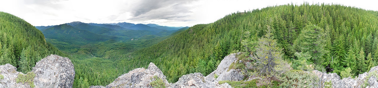 360° panorama from the southwest slope of Mount Zion near the summit, Olympic National Forest.
 Categories:
- Mountains of Washington (state)
- Olympic Mountains
- Landforms of Clallam County, Washington
- Washington (state) geography stubs


Wikimedia Foundation. 2010.