- Mount Nokogiri (Akaishi)
-
Mount Nokogiri 鋸岳 
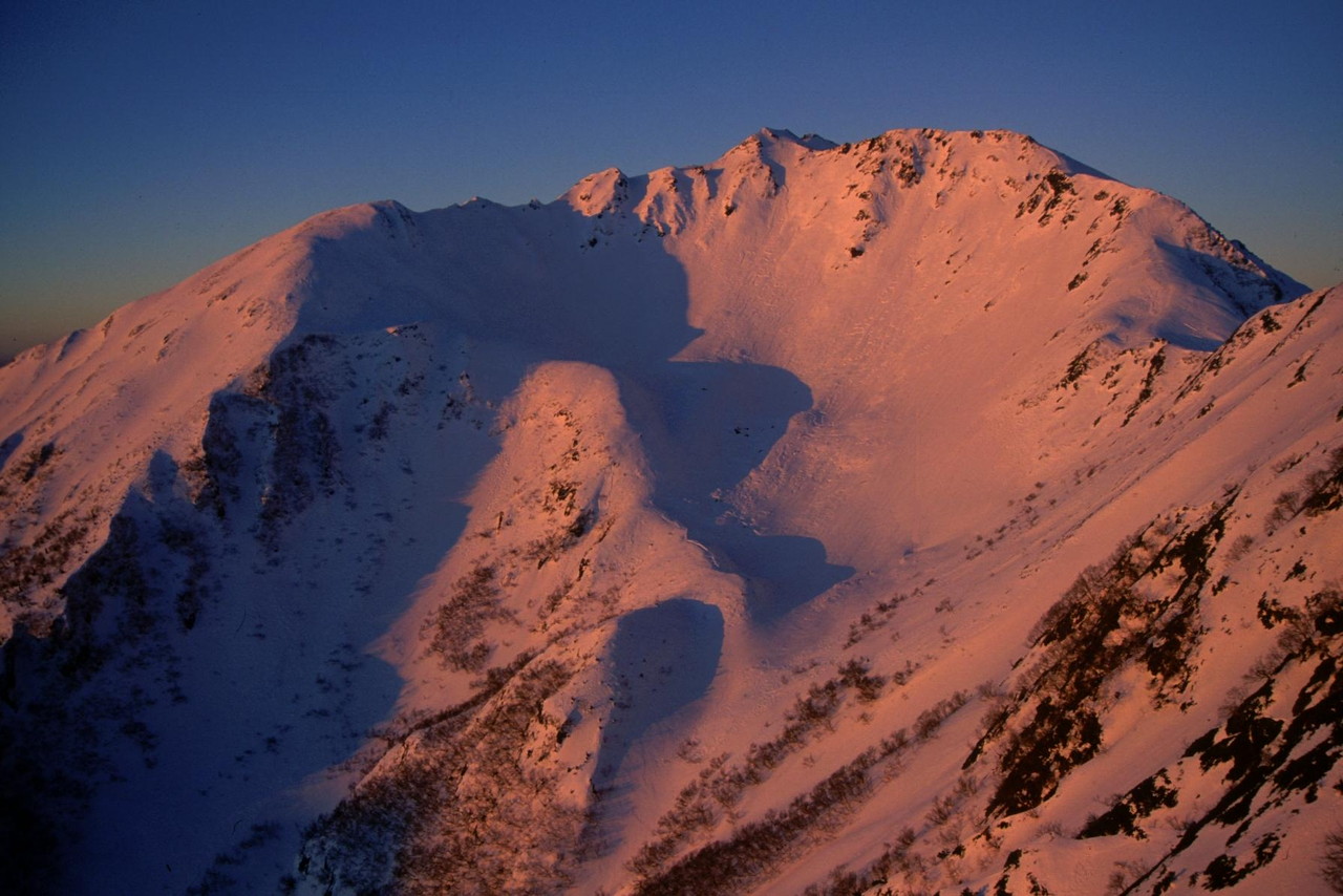
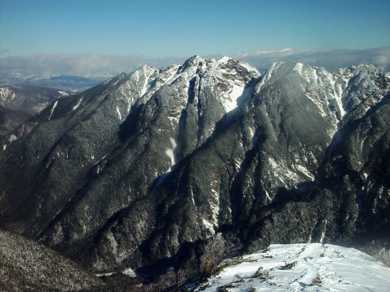
View of Mount Nokogiri from Mount Kaikoma (August 2008)Elevation 2,685 m (8,809 ft) Listing List of mountains and hills of Japan by height Translation (wood)saw mountain (Japanese) Location Location Japan Range Akaishi Mountains Coordinates 35°46′45″N 138°12′36″E / 35.77917°N 138.21°ECoordinates: 35°46′45″N 138°12′36″E / 35.77917°N 138.21°E Topo map Geographical Survey Institute 25000:1 甲斐駒ヶ岳
50000:1 甲府Mount Nokogiri (鋸岳 Nokogiri-dake) is a mountain located in the Akaishi Mountains on the border between, Yamanashi and Nagano Prefectures in Japan.
Contents
Outline
This area is in Minami Alps National Park that was established on June 1, 1964.[1] This mountain is also one of the "200 Famous Japanese Mountains". There is no general mountain climbing trail. Therefore, it is difficult to climb it. There is the shelter Mountain hut ("6th Stone-Hut") between this mountain and Mount Kaikoma. The hut that became superannuated was rebuilt in 2006.
Geography
Nearby Mountains
It is on the main ridge line in the northern edge of the Akaishi Mountains.
Image Mountain Japanese Height Distance
from the TopNote 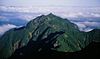
Mt. Nokogiri 鋸岳 2,685 m (8,809 ft) 0 km (0.0 mi) 200 Famous 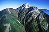
Mt. Kaikoma 甲斐駒ヶ岳 2,967 m (9,734 ft) 3.4 km (2 mi) 100 Famous 
Mt. Senjō 仙丈ヶ岳 3,033 m (9,951 ft) 7.0 km (4.3 mi) 100 Famous River of source
Mount Nokogiri is the source of the Fuji River. The Rivers of the source flow to the Pacific Ocean.
- Fuji River
- Todai River (Tributary of Tenryū River)
Gallery
-
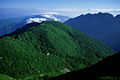
Mount Nokogiri from Utajuku
-
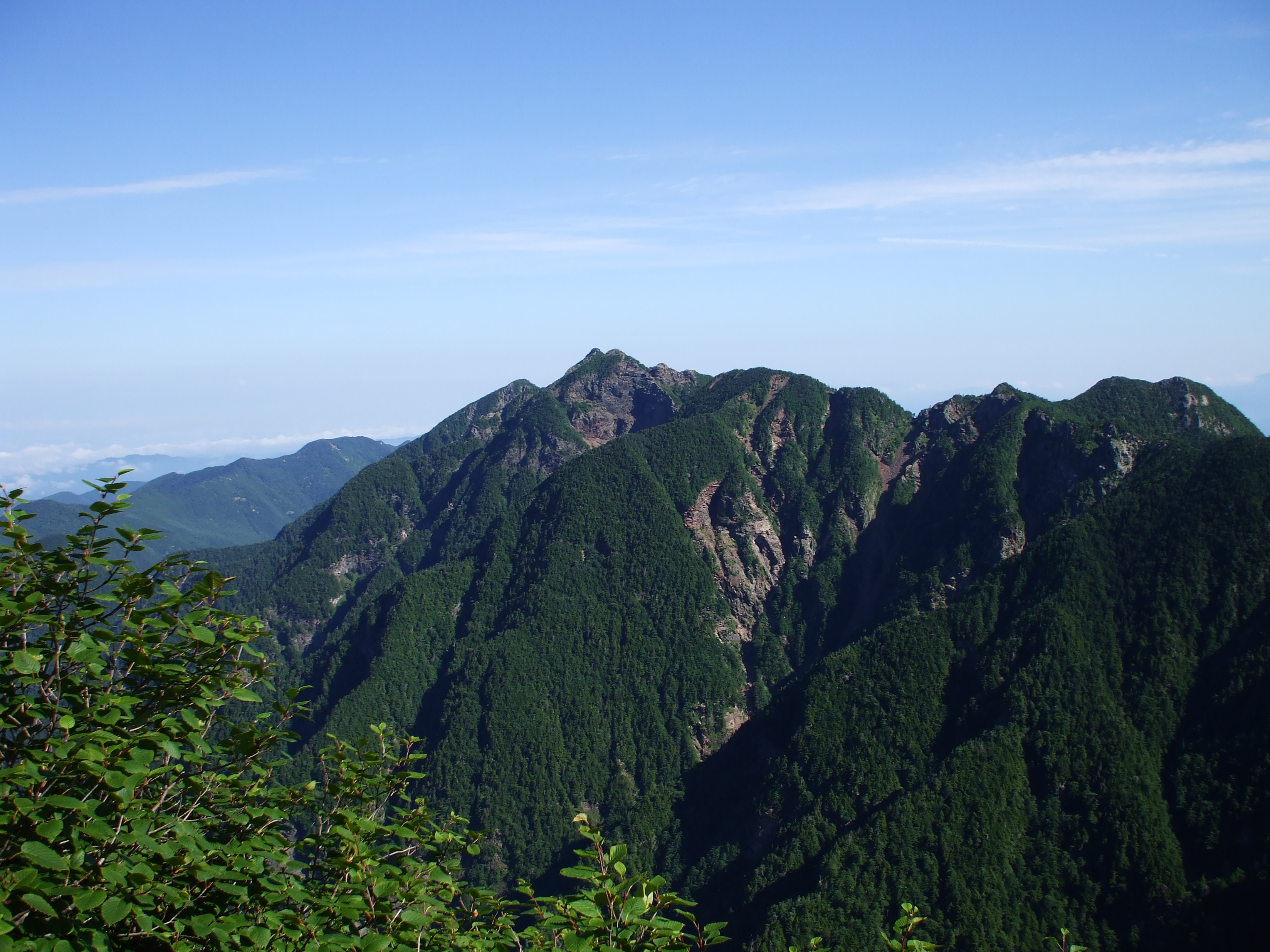
Mount Nokogiri and Uma-no-Se from Mount Ko-Senjō
-

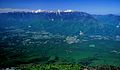
Mount Nokogiri from Mount Ko-Senjō
-
Mount Kita , Mount Kaikoma and Mount Nokogiri from Yatsugatake
References
See also
External links
Categories:- Mountains of Yamanashi Prefecture
- Mountains of Nagano Prefecture
- Yamanashi geography stubs
- Nagano geography stubs


Wikimedia Foundation. 2010.