- Mount King (Antarctica)
-
Mount King Enderby Land, East Antarctica
 Mount King
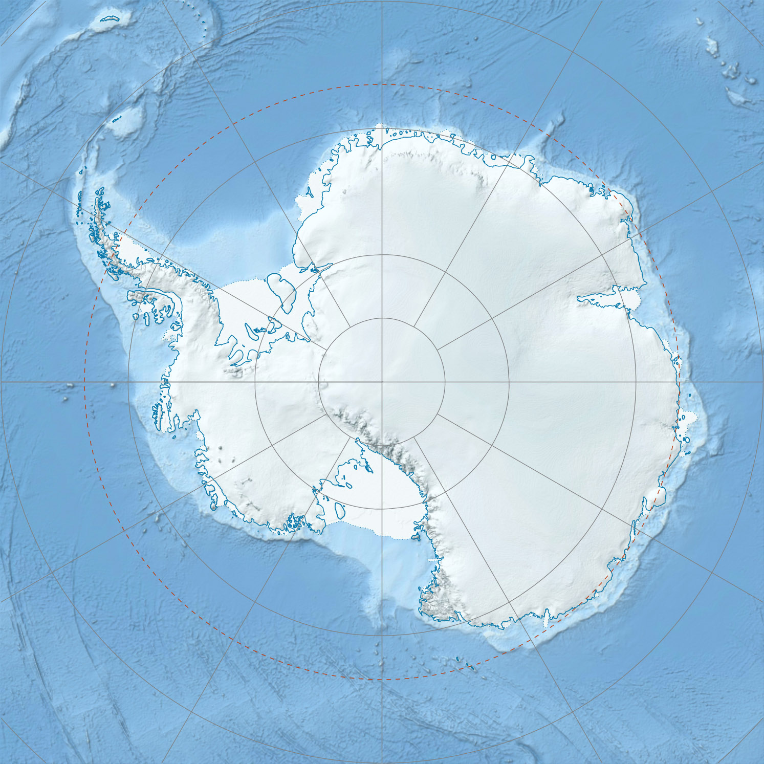
Elevation 1,425 m (4,675 ft) Location Range Tula Mountains Coordinates 67°01′S 52°49′E / 67.017°S 52.817°ECoordinates: 67°01′S 52°49′E / 67.017°S 52.817°E Geology Type Metamorphic Climbing Easiest route basic snow/ice climb Mount King is a large, smooth-crested mountain in the eastern extremity of the Tula Mountains. Part of the Australian Antarctic Gazetteer (Australian Antarctic Gazetteer Id 1581) and the SCAR Composite Gazetteer of Antarctica, it is located in Enderby Land, Australian Antarctic Territory, East Antarctica. The head of Beaver Glacier is located very close to the base of Mount King.
Mount King was discovered and mapped in December, 1958, by an ANARE (Australian National Antarctic Research Expeditions) dog-sledge party led by G.A. Knuckey. Named after Peter W. King, radio officer at Mawson in 1957 and 1958, a member of the dog-sledge party.[1]
Flora and fauna
To date, no flora or fauna have been observed within 1.0 degrees of Mount King:[1]
References
- ^ a b Gazeteer of the Australian Antarctic Data Centre: Mount King. Accessed 23 May 2010.
External links
- Australian Antarctic Division
- Australian Antarctic Gazetteer
- Australian Antarctic Names and Medals Committee (AANMC)
- United States Geological Survey, Geographic Names Information System (GNIS)
- Scientific Committee on Antarctic Research (SCAR)
- Composite Gazetteer of Antarctica
- PDF Map of the Australian Antarctic Territory
- Mawson Station
- ANARE Club
- List of Peaks in Enderby Land
 This article incorporates public domain material from the United States Geological Survey document "Mount King (Antarctica)" (content from the Geographic Names Information System).
Antarctica Main articles - Antarctic
- History
- Geography
- Climate
- Expeditions
- Research stations
- Field camps
- Territorial claims
- Antarctic Treaty System
- Telecommunications
- Demographics
- Economy
- Tourism
- Transport
- Military activity in the Antarctic
Geographic regions - Antarctic Peninsula
- East Antarctica
- West Antarctica
- Extreme points of the Antarctic
- List of Antarctic and subantarctic islands
- Antarctica ecozone
Waterways Famous explorers Categories:- Australian Antarctic Territory
- East Antarctica
- Mountains of Enderby Land
Wikimedia Foundation. 2010.