- Mount Hutt (New Zealand)
-
 Mount Hutt
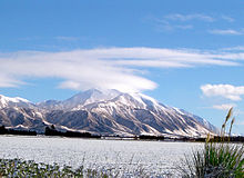
Mount Hutt rises to the west of the Canterbury Plains in the South Island of New Zealand, above the braided upper reaches of the Rakaia River, and 80 kilometres west of Christchurch. Its summit is 2190 metres above sea level.
Skifield
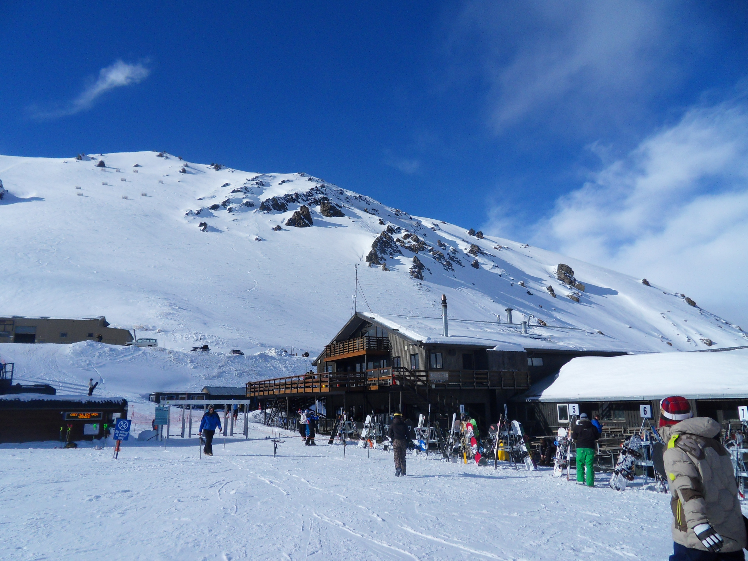
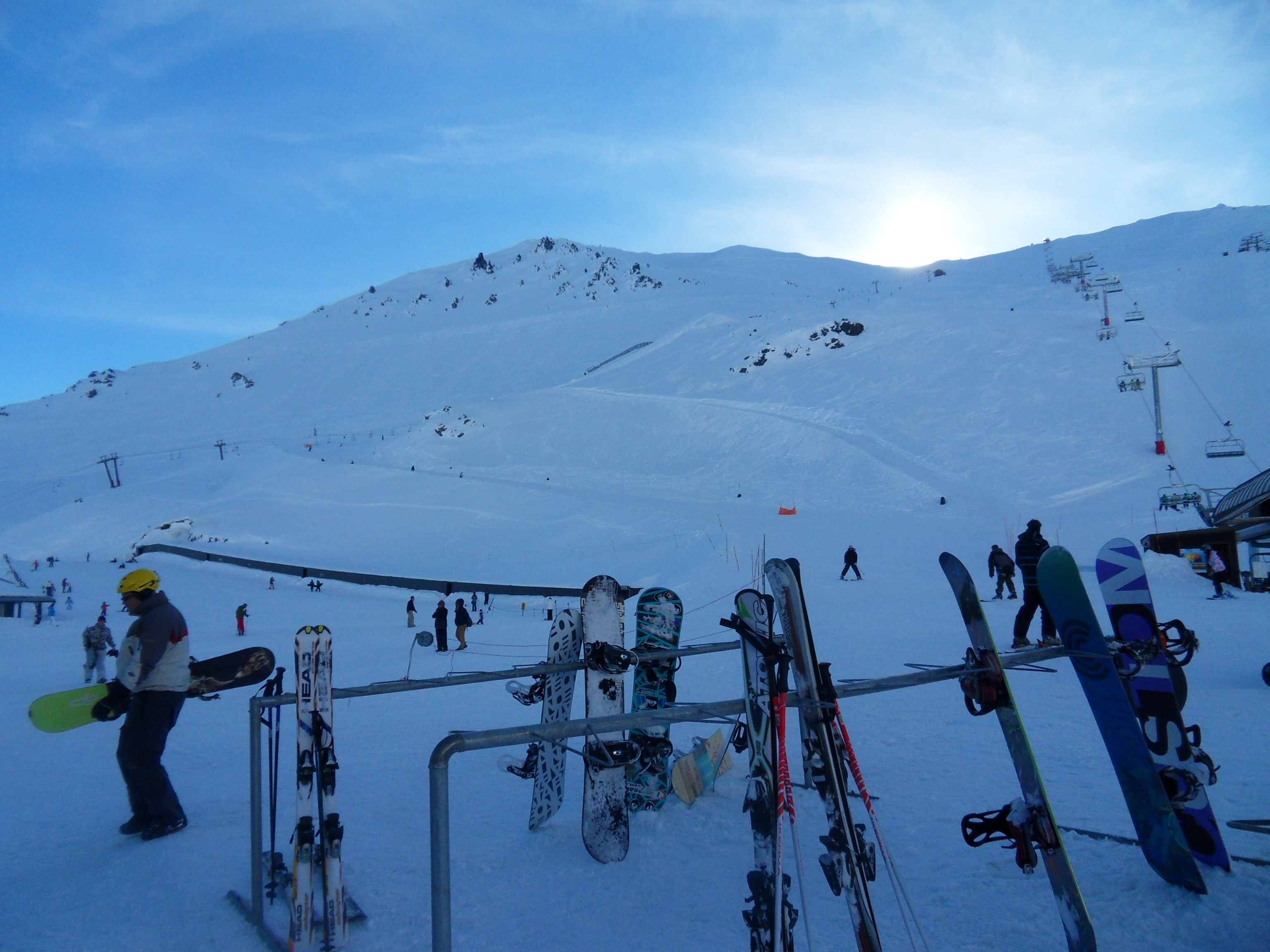
The mountain is home to a commercial alpine ski area with the largest skiable area in the South Island (3.65 square kilometres), and a vertical height of 683 metres.[citation needed]
It caters for a wide range of skiers, with a "magic carpet" lift for beginners, good intermediate and advanced runs, and access to large off-piste areas. The most advanced runs on the mountain are through the rock formations at the top of the field known as "The Towers", and the South Face.[citation needed] Lift facilities include a high-speed six seater chair, a quad chair, triple chair and magic carpet. The magic carpet is the world's first fully enclosed by shipping containers.[citation needed]
The snow season is from June to October. Mount Hutt prides itself on and historically has been the first ski-field in the Southern Hemisphere to open at the beginning of each season. However, its steep thirteen kilometre access road is prone to closure in poor weather, giving the skifield the nickname "Mount Shut." On 12 August 2010, winds of up to 200 km/h struck the ski area, resulting in its closure along with the access road, and stranding 1200 people on the mountain overnight, where they were accommodated in the ski-field's base buildings. The road was reopened the following day.[1]
Since there is no accommodation on the mountain, most visitors[citation needed] stay in the nearby town of Methven, a 35 minute drive to the mountain. The larger town of Ashburton is 55 minutes away. The city of Christchurch is just over an hour's drive away.
Mt Hutt is managed by Southern Alpine Recreation Ltd along with Coronet Peak and The Remarkables in Queenstown.
-

Mt Hutt ski centre
-
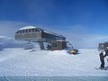
Top of Summit Six chairlift
-
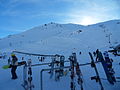
Base of ski area
-

Chairlift over Mount Hutt
-

Access road to Mt Hutt
-

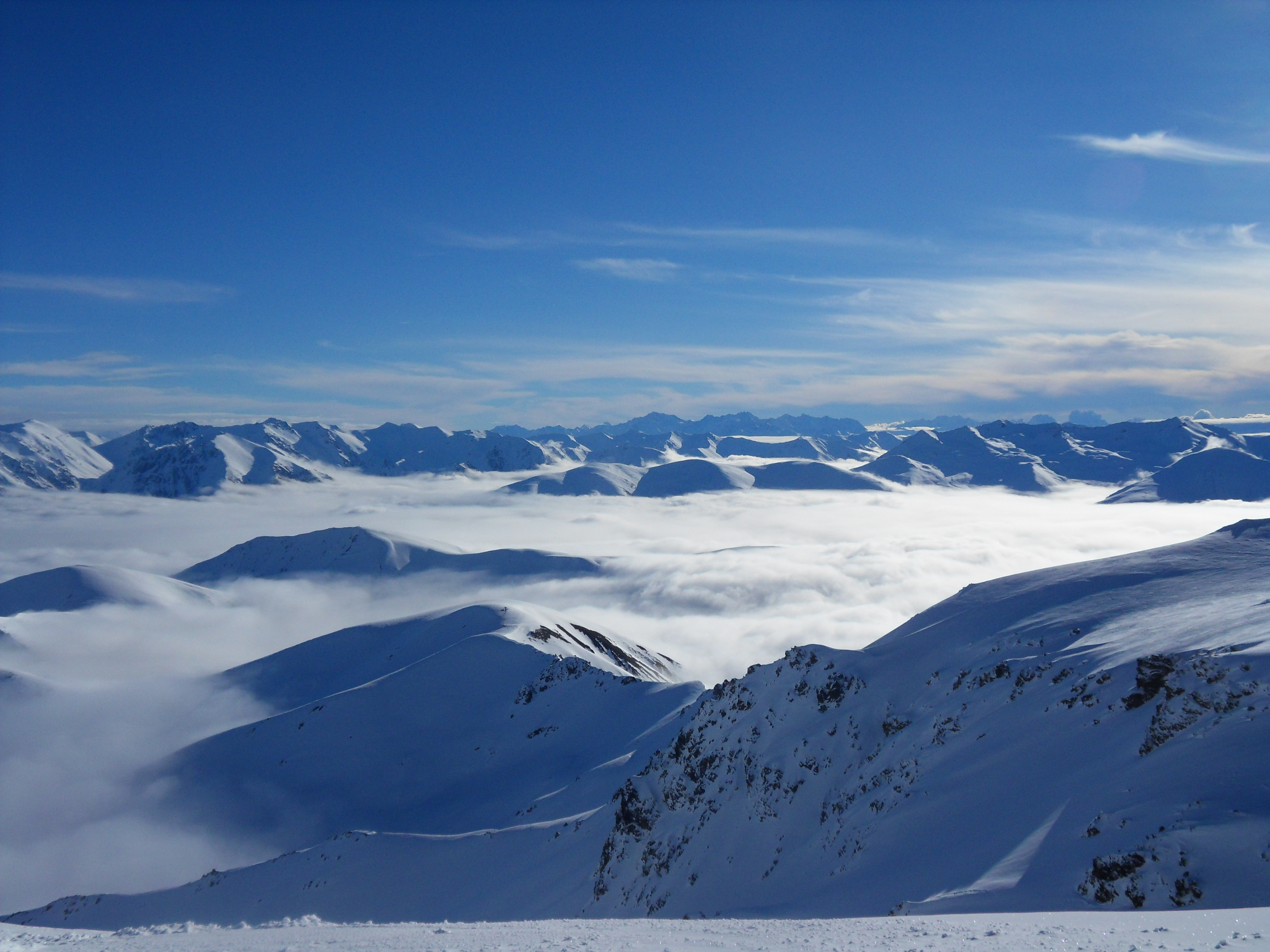
Southern Alps from Summit
-

Ski Area from base
References
- ^ Elizabeth Binning; Edward Gay; Jarrod Booker; Edward Rooney (Friday August 13, 2010). "Skiers freed as Mt Hutt road reopens". New Zealand Herald. http://www.nzherald.co.nz/skiing/news/article.cfm?c_id=481&objectid=10665745. Retrieved August 18, 2010.
External links
Coordinates: 43°28′S 171°32′E / 43.467°S 171.533°E
Ski areas and resorts in New Zealand Commercial skifields Club skifields North IslandMount RuapehuSouth IslandCanterburyOtago1: Indoor ski slope 2: Former club skifield 3: Heliskiing 4: Cross-country skiing 5: Terrain park 6: Closed Towns of the Ashburton District, Canterbury, New Zealand Major Towns Other Towns Chertsey • Ealing • Fairton • Hinds • Lake Clearwater • Lake Hood • Mayfield • Mount Somers • WinslowLocalities Acton • Alford Forest • Anama • Ashburton Gorge • Ashton • Barhill • Buccleuch • Bushside • Cairnbrae • Carew • Cavendish • Coldstream • Dorie • Dromore • Eiffelton • Elgin • Erewhon • Flemington • Greenstreet • Hackthorne • Hakatere (Gorge • River mouth) • Hatfield • Highbank • Huntingdon • Kyle • Lagmhor • Lauriston • Lismore • Longbeach • Lowcliffe • Lyndhurst • Lynnford • Marawiti • Maronan • Mitcham • Montalto • Mount Hutt • Mount Possession • Newland • Overdale • Pendarves • Punawai • Rokeby • Ruapuna • Seafield • Sherwood • Somerton • Springburn • Staveley • Urrall • Valetta • Wakanui • Waterton • Westerfield • Wheatstone • Willowby • Winchmore • Windermere
Categories:- Ski areas and resorts in New Zealand
- Geography of the Canterbury Region
- Mountains of New Zealand
- Canterbury Region geography stubs
-


Wikimedia Foundation. 2010.