- Mount Daimler
-
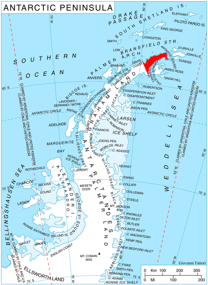
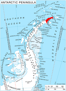 Location of Trinity Peninsula.
Mount Daimler (63°45′S 58°29′W / 63.75°S 58.483°W) is one of the highest points of the rock massif of Trakiya Heights between Russell East Glacier and Victory Glacier, 3 nautical miles (6 km) south of Mount Canicula, Trinity Peninsula. Mapped from surveys by Falkland Islands Dependencies Survey (FIDS) (1960–61). Named by United Kingdom Antarctic Place-Names Committee (UK-APC) for Gottlieb Daimler (1834–1900), German engineer who developed the light-oil medium speed internal combustion engine which made possible the first commercial production of light mechanical land transport, 1883-85.
Map
- Trinity Peninsula. Scale 1:250000 topographic map. Institut für Angewandte Geodäsie and British Antarctic Survey, 1996.
References
 This article incorporates public domain material from the United States Geological Survey document "Mount Daimler" (content from the Geographic Names Information System).
This Trinity Peninsula, Antarctica, location article is a stub. You can help Wikipedia by expanding it.