- Mount Cabrebald
-
Cabrebald Mountain 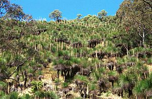 Grass Trees covering the northern side of Mount Cabrebald
Country Australia State New South Wales Region Barrington Tops District Hunter, New South Wales Range Great Dividing Range City Singleton Landmark Mount Royal Range River Paterson River Summit 32°08′57″S 151°23′01″E / 32.14917°S 151.38361°ECoordinates: 32°08′57″S 151°23′01″E / 32.14917°S 151.38361°E Highest point - elevation 1,000 m (3,281 ft) Biome wet sclerophyll eucalyptus forest Geology Basalt Period Tertiary Plant - Grass Trees, grassy bald,
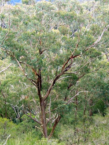
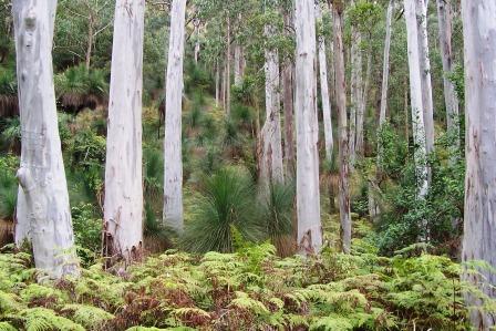
- N.E. Blackbutt, Sydney Blue Gum
- Giant Stinging Tree, Antarctic Beech
Animal Hastings River Mouse Mount Cabrebald is situated 200 km north of Sydney, within Barrington Tops National Park, Australia.
Noted for the grass covered summit in a heavily forested area. Also for the 12 hectare Grass Tree forest, the tall eucalyptus forest and rainforest in fire free areas. The 360 degree views from the summit are considered some of the finest in this World Heritage region.
-

8 metre tall Grass Tree at Mount Cabrebald
-

New England Blackbutt at Mount Cabrebald
-

Sydney Blue Gums growing on red/brown soil at Mount Cabrebald
-

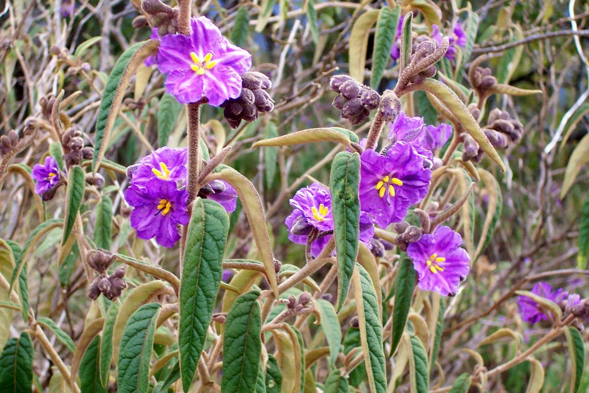
flowering Solanum on the summit of Mount Cabrebald
See also
- List of mountains of Australia
References
- New South Wales Rainforests - The Nomination for the World Heritage List, Paul Adam, 1987. ISBN 0 7305 2075 7 page 77
Categories:- Mountains of New South Wales
- Gondwana Rainforests of Australia


Wikimedia Foundation. 2010.