- Montague Island (Australia)
-
Montague Island Nature Reserve IUCN Category Ia (Strict Nature Reserve)Map of Australia
Nearest town/city Narooma, New South Wales Coordinates 36°15′S 150°13′E / 36.25°S 150.217°E Area 820,000 m² Established 1990 Visitation 6,000 (in 2002) Managing authorities New South Wales National Parks Official site NPWS page Montague Island (36°15′S 150°13′E / 36.25°S 150.217°E) is 9 kilometres offshore from Narooma on the south coast of New South Wales, Australia.
Contents
Lighthouse
Main article: Montague Island LightOn the island is a lighthouse maintained by the Australian Maritime Safety Authority. The lighthouse was designed by James Barnet and built in 1881. It was automated in 1986 and demanned in 1987. The lighthouse is 21 metres tall and the light is 80 metres above sea level with a nominal range of 20 nautical miles (37 km) and a geographic range of 17 nautical miles (31 km). The original Fresnel lens was removed in 1986 and is now on display at the Narooma Lighthouse Museum.[1]
Intending visitors to the lighthouse (both day visitors and overnight stays) must first check with the National Parks and Wildlife Service.
The next lighthouse to the north is the Burrewarra Point lighthouse.
Wildlife
Forty nine species of fauna have been recorded on the island by the New South Wales National Parks and Wildlife Service. (Wildlife atlas)
Little Penguins
The island is home to a large colony of Little Penguins on the island. As the island has no foxes or feral cats, the penguins have no predators other than other sea birds and seals. With the restoration of native habitat and the provision of penguin breeding boxes, penguin numbers have increased, and there are now approximately 12,000 on the island. The female usually lays two eggs, and during a good year, both chicks will survive. The birds come ashore at dusk after feeding at sea, and visitors to the island can watch the birds from a platform near the jetty.
Crested Terns
Crested terns, Sterna bergii, have brilliant white feathers covering the body while the head is completely black.
Shearwaters
Shearwaters, also known as mutton birds, nest on the island. Species recorded are:
- Puffinus bulleri (Buller's Shearwater)
- Puffinus griseus (Sooty Shearwater)
- Puffinus pacificus (Wedge-tailed Shearwater)
- Puffinus tenuirostris (Short-tailed Shearwater)
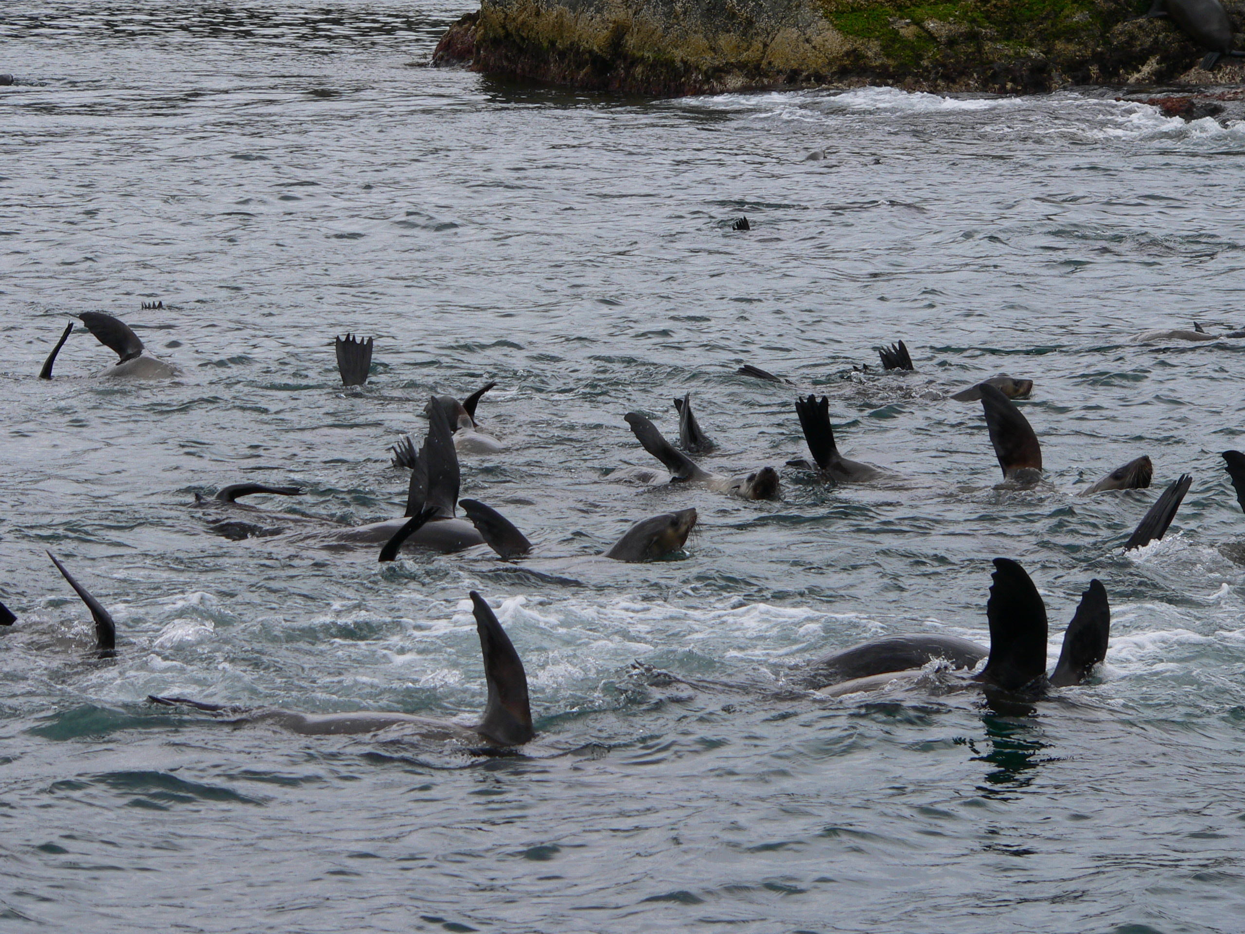
Seals
The northern tip of the island is the seasonal home to a seal bachelor colony. Due to the site's remoteness, it is only possible for visitors to see them from a boat.
The majority of the seals are Australian Fur Seals, Arctocephalus pusillus doriferus. New Zealand Fur Seals (Arctocephalus forsteri), Subantarctic Fur Seals (Arctocephalus tropicalis) and Australian Sea Lions (Neophoca cinerea) have also been observed.
Environmental restoration
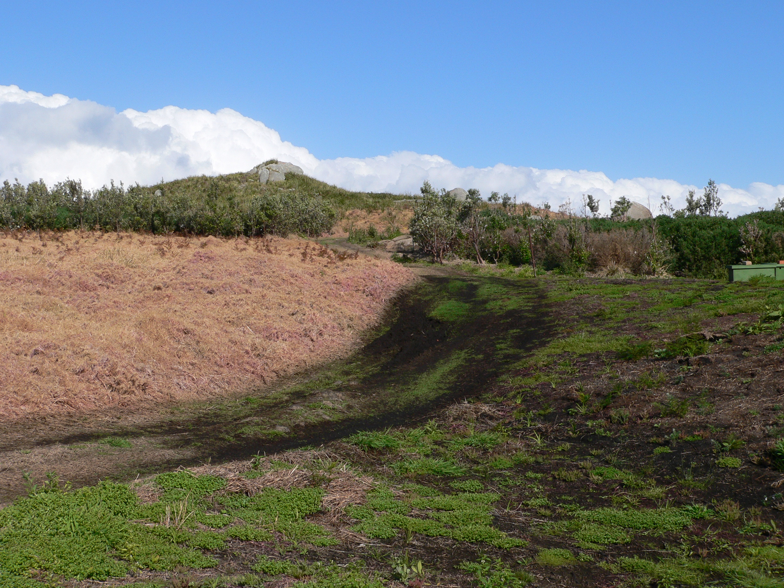
Kikuyu grass is a major weed. Originally introduced in the early 19th century to help feed the animals kept by the lighthouse keepers and their families, it spread to cover most of the south island. The NPWS officers poison a section, then burn it, before replanting with some help from volunteers. In the less accessible areas of the northern and eastern parts, an aerial spraying program is used to manage the kikuyu where it infests shearwater breeding sites. The kikuyu is a barrier for the shearwaters and penguins who cannot penetrate it to move or to burrow. Various native species are used to replant areas after the kikuyu grass has been controlled.
Gallery
-
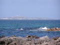
The island viewed from Narooma, 9 km away
-

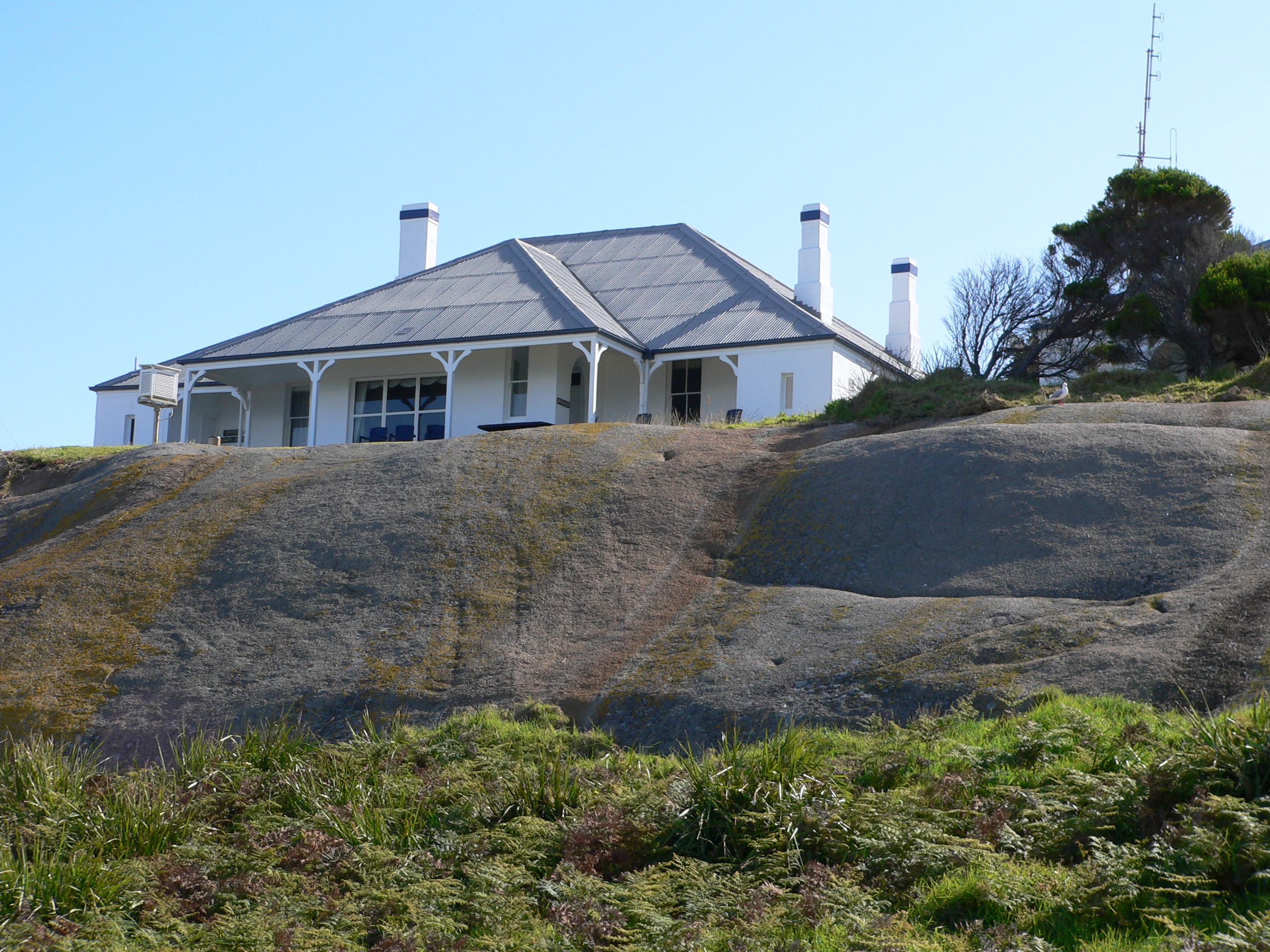
The main lighthouse keepers cottage from the east
-
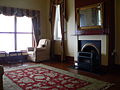
The living room of the recently restored main lighthouse keepers cottage
-
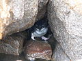
A penguin hiding in the rocks
-
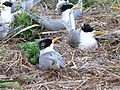
A colony of nesting terns
-
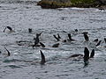
Seals with one flipper in the air to cool off
-
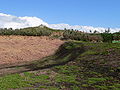
To the left, an area of kikuyu grass poisoned, not yet burnt. In the background, areas replanted approx 2002. In the foreground to the right, an area newly replanted
-
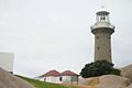
The lighthouse
References
- ^ Rowlett, Russ. "Lighthouses of Australia: New South Wales". The Lighthouse Directory. University of North Carolina at Chapel Hill. http://www.unc.edu/~rowlett/lighthouse/nsw.htm.
External links
- "The Montague Island Lighthouse". Lighthouses of New South Wales. Lighthouses of Australia Inc. http://www.lighthouse.net.au/lights/NSW/Montague%20Island/Montague%20Island.htm.
- New South Wales National Parks and Wildlife Service:about the Montague Island Nature Reserve
- Narooma - Local and Tourist information
- Scuba Diving - Narooma NSW
Categories:- IUCN Category Ia
- Islands of New South Wales
- Protected areas of New South Wales
- Island restoration


Wikimedia Foundation. 2010.