- Mingala Taungnyunt Township
-
Mingala Taungnyunt Township
မင်္ဂလာတောင်ညွန့် မြို့နယ်— Township of Yangon — Mingala Taungnyunt Township Yangon Central Railway Station

 Mingala Taungnyunt Township
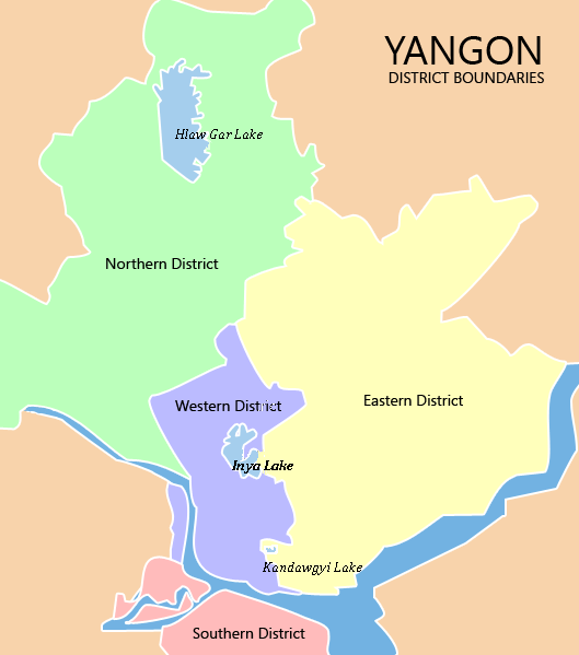
Coordinates: 16°47′0″N 96°10′0″E / 16.783333°N 96.166667°ECoordinates: 16°47′0″N 96°10′0″E / 16.783333°N 96.166667°E Country Myanmar Division Yangon City Yangon Township Mingala Taungnyunt Area - Total 5.1 km2 (1.955 sq mi) Population (2000) - Total 98,000 Time zone MST (UTC+6:30) Postal codes 11221, 11222 Area code(s) 1, (80, 99: mobile) YCDC[1] Mingala Taungnyunt Township (Burmese: မင်္ဂလာတောင်ညွန့် မြို့နယ်, pronounced [mɪ̀ɴɡəlà tàuɴ ɲʊ̰ɴ mjo̰nɛ̀]; also spelled Mingalar Taung Nyunt) is a township of Yangon, Myanmar. Located in the east-central part of the city, the township consists of 20 wards, and shares borders with Dagon township in the west, Bahan township in the north, Botataung township in the south, Kyauktada township in the southwest, and the Pazundaung Creek and Dawbon township in the east.
With nearly 100,000 residents, it is one of the most populous townships in the city. Mingala Taungnyunt has 22 primary schools, two middle schools and six high schools.[1]
Landmarks
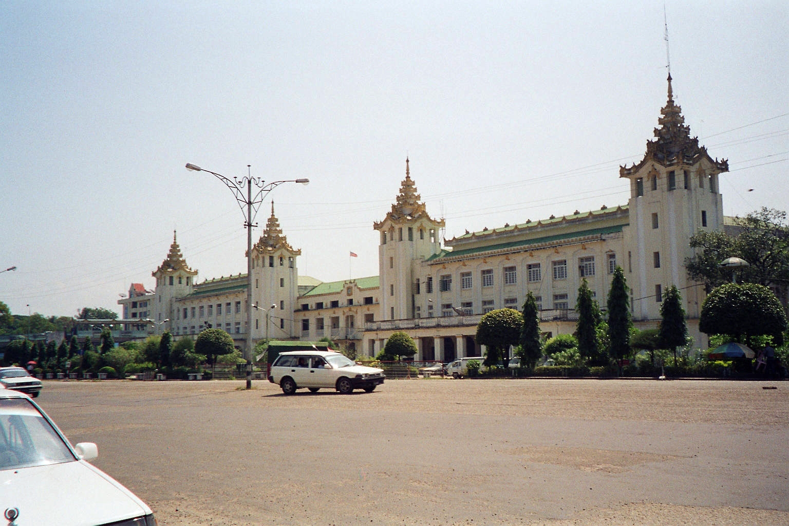
Yangon Central Railway Station and Aung San Stadium are located on the western side of the township, near downtown. Mingala Taungnyunt township was part of the original city plan laid out the British. Some of the buildings and structures of "architectural significance" are now designated landmarks by the Yangon City Development Committee.[2]
Structure Type Address Notes Bethlehem Lutheran Church Church 181-183 Theinbyu Road Kandawgalay Mosque Mosque 106 Upper Pansodan Road Methodist Association Headquarters Church 20-22 Alanpyapaya Road St. Anthony's Church Church 24 Upper Pansodan Road Sri Hanuman Temple Hindu Temple 21 Kanyeiktha Lane Sri Marian Temple Hindu Temple Corner of Daw Thein Tin Lane and 94th Street Sri Nagarthan Sulamani Hindu Temple Hindu Temple 57 Factory Lane Three-Corner Mosque Mosque 35 Upper Pansodan Road Yangon Central Railway Station Railway Station Kunchan Lane References
- ^ a b "Mingala Taungnyunt Township". Yangon City Development Committee. http://www.yangoncity.com.mm/maps/townships_pro.asp?tname=mingalar%20taung%20nyunt. Retrieved 2009-01-25.
- ^ Special Reports: Heritage List. The Myanmar Times. 2001-10-29. http://www.myanmar.gov.mm/myanmartimes/no87/New/14.htm.
Districts/Townships of Yangon Western District
(Downtown)Ahlon Township · Bahan Township · Dagon Township · Kyauktada Township · Kyimyindaing Township · Lanmadaw Township · Latha Township · Pabedan Township · Sanchaung Township · Seikkan Township ·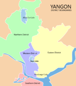
Eastern District Botataung Township · Dagon Seikkan Township · East Dagon Township · North Dagon Township · North Okkalapa Township · Pazundaung Township · South Dagon Township · South Okkalapa Township · Thingangyun TownshipNorthern District Hlaing Township · Hlaingthaya Township · Insein Township · Kamayut Township · Mayangon Township · Mingaladon Township · Shwepyitha Township · Yankin TownshipSouthern District Dala Township · Dawbon Township · Mingala Taungnyunt Township · Seikkyi Kanaungto Township · Tamwe Township · Thaketa TownshipAdministrative divisions of Burma (Myanmar) States 
Regions Self-Administered Zones Self-Administered Divisions WaUnion Territories Categories:- Townships of Yangon


Wikimedia Foundation. 2010.