- Kooyoora State Park
-
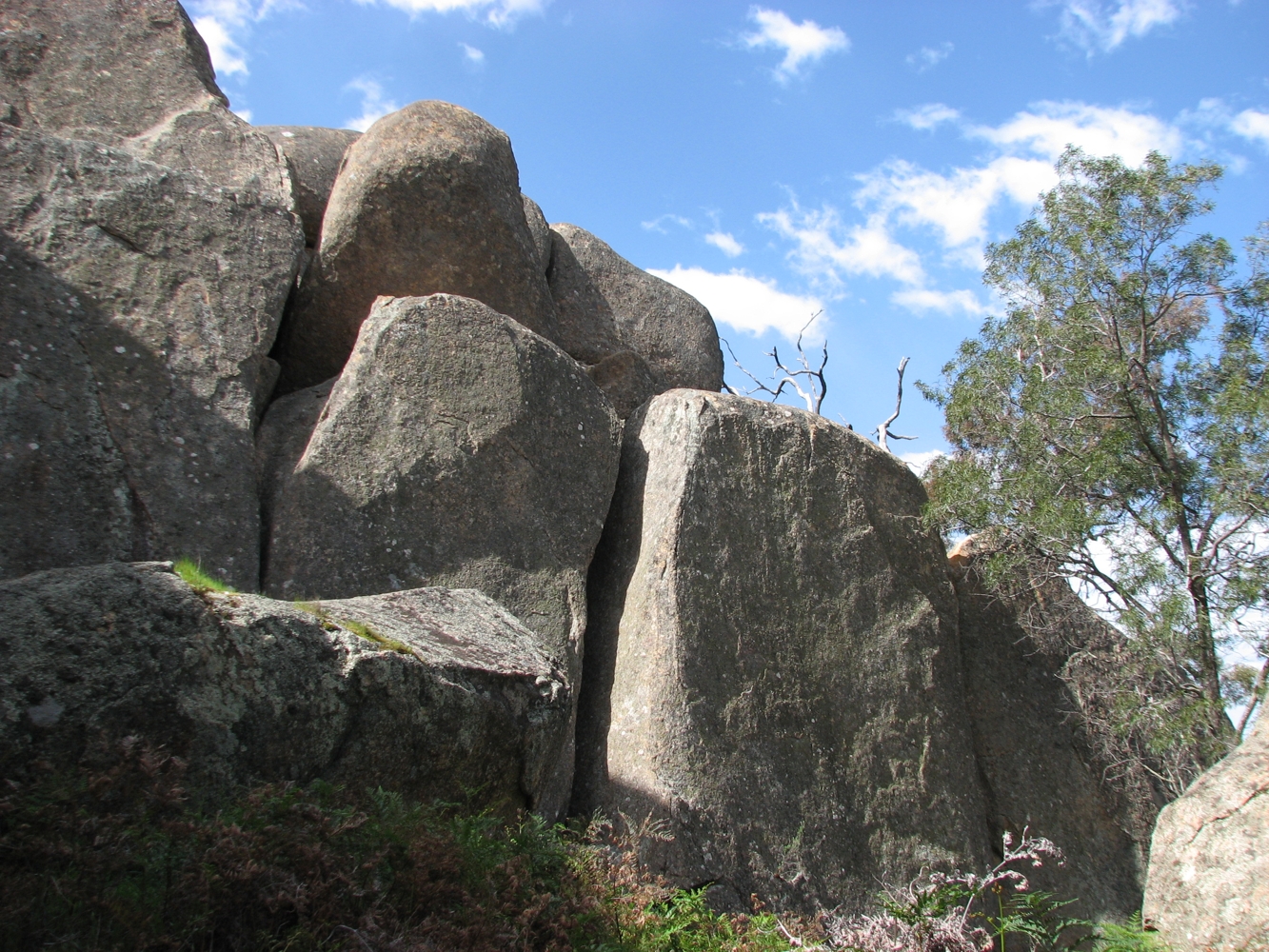
 Granite outcrops at Melville Caves
Kooyoora State Park is a state park in Victoria, Australia located 220 kilometres (140 mi) northwest of Melbourne, and 12km west of Inglewood. It is a 11,350 hectare reserve comprising box-ironbark forest and rocky granite outcrops, including the Melville Caves.[1]
Facilities include walking tracks, lookouts, a campground, and a picnic ground with a shelter and toilets.[1]
Kooyoora State Park was proclaimed in 1985.[1] The original inhabitants of the area were the Jaara people who used the rock caves and shelters for protection from the weather. European settlers moved into the area in the 1840s and gold mining commenced in the late 1850s. The bushranger, Captain Melville is believed to have used the area as a hideout.[1]
The native grasslands provide a food source for kangaroos and wallabies.[1] Key tree species include Blakely's Red Gum, Yellow and Grey Box and Red Ironbark.[1]
References
- ^ a b c d e f "Kooyoora State Park". Parks Victoria. http://www.parkweb.vic.gov.au/1park_display.cfm?park=123. Retrieved 2009-09-13.
Current Arthurs Seat · Black Range · Broken-Boosey · Bunyip · Cape Nelson · Cathedral Range · Dergholm · Enfield · Holey Plains · Kooyoora · Langi Ghiran · Leaghur · Lerderderg · Moondarra · Mount Arapiles-Tooan · Mount Buangor · Mount Granya · Mount Lawson · Mount Napier · Mount Samaria · Mount Worth · Paddys Ranges · Reef Hills · Warby Range · Warrandyte · Werribee Gorge
Former Coordinates: 36°36′3.4″S 143°41′34″E / 36.600944°S 143.69278°E
Categories:- Victoria (Australia) geography stubs
- State parks of Victoria (Australia)
- Protected areas established in 1985
Wikimedia Foundation. 2010.