- Maukspitze
-
Maukspitze 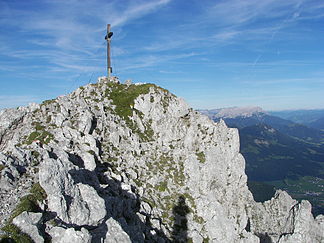
Summit of the Maukspitze
Height 2,231 m AA (7,320 ft) Location Tyrol,  Austria
Range Kaisergebirge Coordinates 47°33′34″N 12°21′25″E / 47.55944°N 12.35694°ECoordinates: 47°33′34″N 12°21′25″E / 47.55944°N 12.35694°E 

The Maukspitze is a 2,231 m AA high peak in the Kaisergebirge in the Northern Limestone Alps.
Contents
Location
The Maukspitze represents the easternmost independent summit of the Kaisergebirge mountains. To the east is the crest of the Niederkaiser, to the west the Maukspitze borders on the Ackerlspitze. To the south, the Maukspitze falls steeply and abruptly (Niedersessel, Hochsessel), in places with vertical rock faces, into the Leukental towards St. Johann in Tirol. To the north the Maukspitze drops equally sharply into the Kaiserbach valley.
Routes
The Maukspitze is a popular viewing point due to its exposed situation, but is not easy to reach from any side. The simplest climb runs from the Wochenbrunneralm in the south via Niedersessel and Südostgrat (I). The Maukspitze is also accessible via a Klettersteig from the Ackerlspitze. The starting point in each case is the Ackerl Hut. In addition there are many climbing routes of various grades.
Photos
-
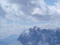
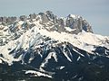
The Maukspitze (left), and Ackerlspitze (centre),
seen from the Waidringer Steinplatte in winter -

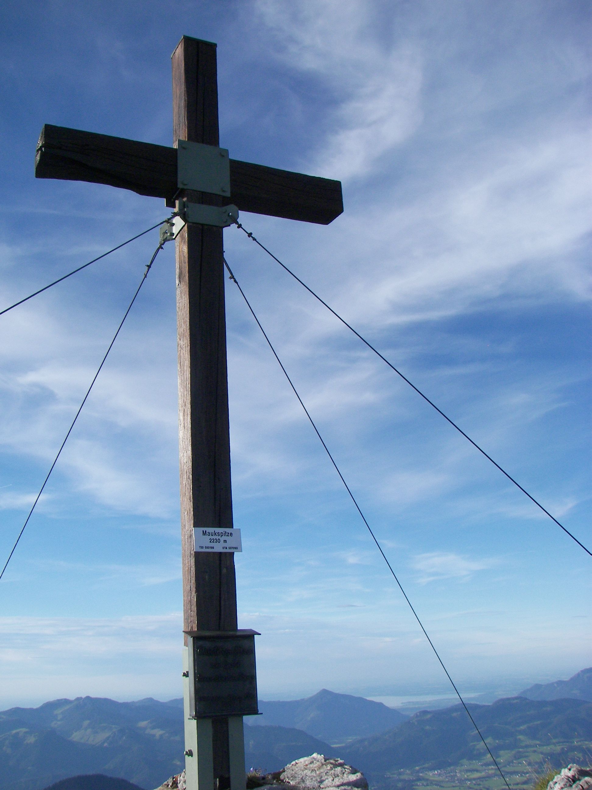
Summit cross on the Maukspitze
-
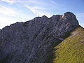
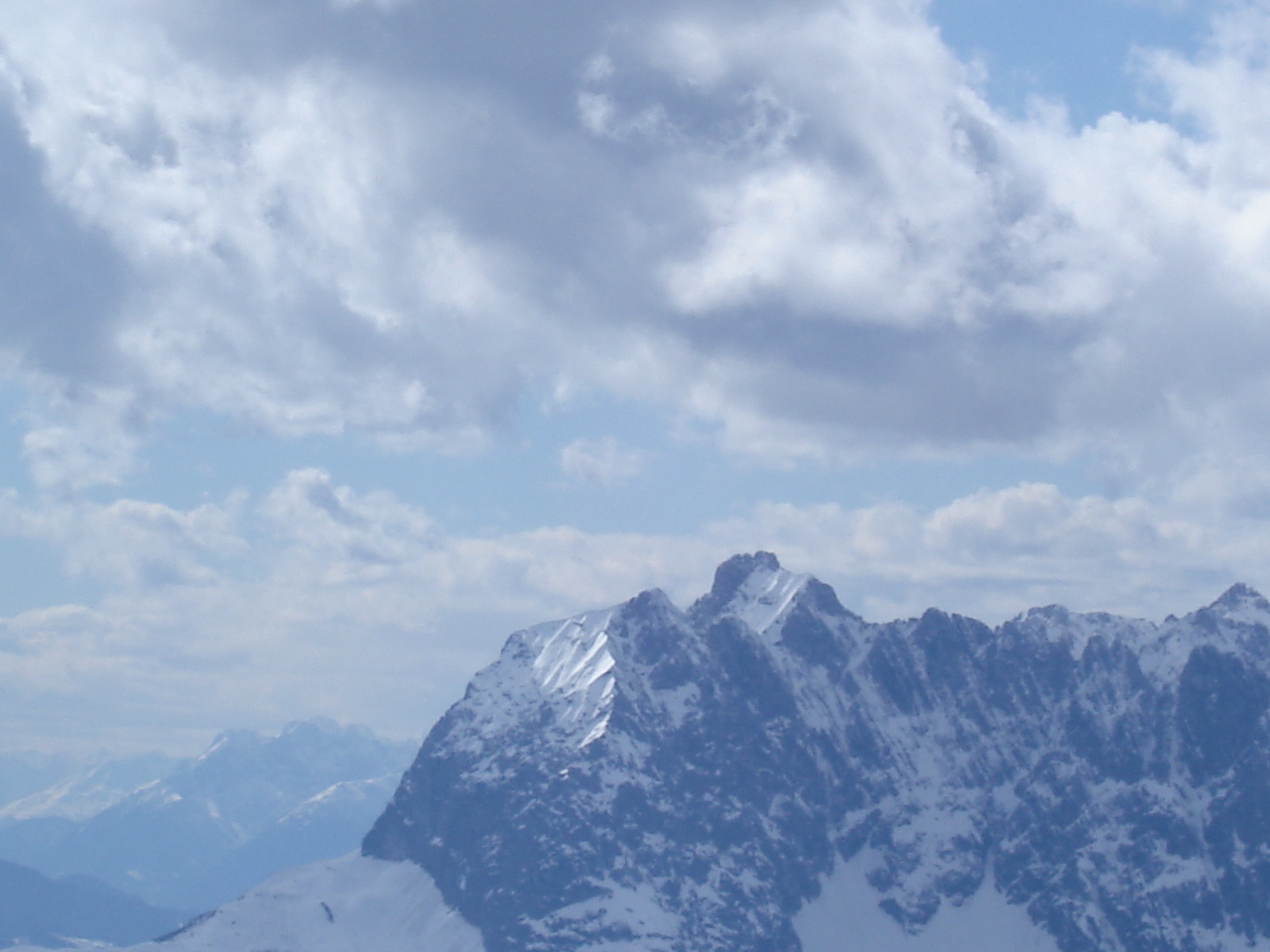
View of the summit from the south
-
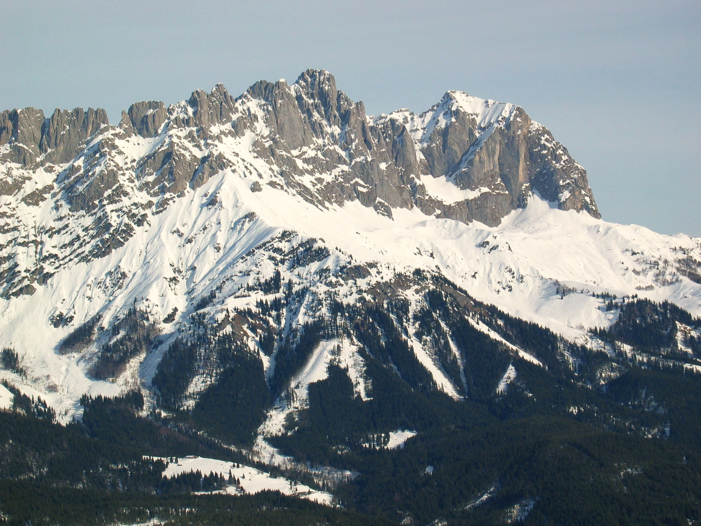
Maukspitze (right) and Ackerlspitze (centre), seen from Hartkaiser (southwest)
External links
- Tour description with photos (German)
- Tour description with photos (German)
Categories:- Two-thousanders
- Mountains of the Alps
- Mountains of Tyrol
- Kaisergebirge
-


Wikimedia Foundation. 2010.