- Marshy Point Nature Center
-
Marshy Point Nature Center 
Street address 7130 Marshy Point Road Location Middle River, Maryland Operator Baltimore County, Maryland Land area 500 acres (2.0 km2) Opened May 1, 2000 Official site marshypoint.org Marshy Point Nature Center is a nature center in Middle River, Maryland. The center, built along the Dundee and Saltpeter Creeks,[1] is built on hunting grounds once used by U.S. President Benjamin Harrison.[2]
Contents
History
Groundbreaking began on the center on October 20, 1998, enabled by a $2.7 million grant.[2] In 2000, the state of Maryland spent $2 million to purchase the trails behind the center.[3]
The center officially opened to the public on May 1, 2000.
In 2005, $300,000 was approved for the expansion of the center.[4] This expansion provided 30% more space at the facility.
Gallery
-

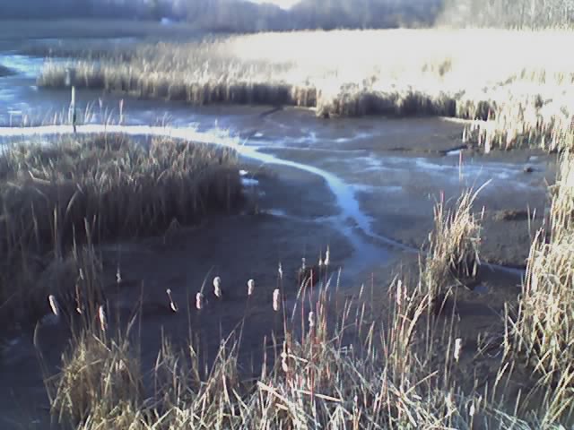
The creeks at Marshy Point Nature Center
-
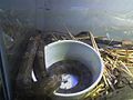
A live snake exhibit
-

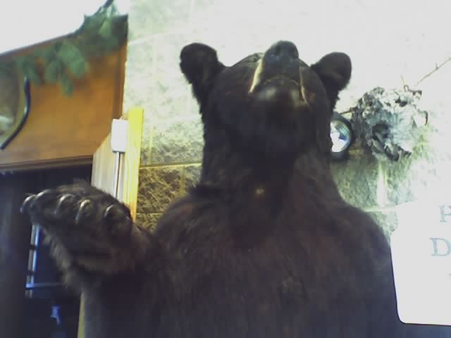
A stuffed duck
-

Tall grass on the trails
External links
References
- ^ Evan Balkan (2006). 60 hikes within 60 miles. Menasha Ridge Press. ISBN 10:0-89732-623-7. http://books.google.com/books?id=U8B1TnrgSvkC&pg=PA88&dq=%22marshy+point+nature+center%22&as_brr=3&ie=ISO-8859-1&output=html&cd=1.
- ^ a b Joe Nawrozki (Oct 20, 1998). "A place of learning on hunting ground". The Baltimore Sun. http://pqasb.pqarchiver.com/baltsun/access/35262533.html?dids=35262533:35262533&FMT=ABS&FMTS=ABS:FT&type=current&date=Oct+20%2C+1998&author=Joe+Nawrozki&pub=The+Sun&desc=A+place+of+learning+on+hunting+ground%3B+Groundbreaking%3A+Plans+move+ahead+for+a+500-acre%2C+%242.7+million+complex+near+Chase+that+will+include+trails+and+a+visitors+center.&pqatl=google.
- ^ Joe Nawrozki (Jun 8, 2000). "County saving a pristine forest". The Baltimore Sun. http://pqasb.pqarchiver.com/baltsun/access/54950693.html?dids=54950693:54950693&FMT=ABS&FMTS=ABS:FT&type=current&date=Jun+08%2C+2000&author=Joe+Nawrozki&pub=The+Sun&desc=County+saving+a+pristine+forest+County+purchase+shields+land+from+development+Preservation%3A+Using+the+state's+Rural+Legacy+Program%2C+Baltimore+County+buys+554+acres+of+forest+and+waterfront+property+to+shield+it+from+development+and+to+preserve+the+environment.&pqatl=google.
- ^ Lisa Goldberg (Apr 14, 2005). "Assembly approves state funding for most of Balto. County's priorities". The Baltimore Sun. http://pqasb.pqarchiver.com/baltsun/access/821555381.html?dids=821555381:821555381&FMT=ABS&FMTS=ABS:FT&type=current&date=Apr+14%2C+2005&author=Lisa+Goldberg&pub=The+Sun&desc=Assembly+approves+state+funding+for+most+of+Balto.+County's+priorities+%3B+School+construction+to+receive+%2415+million+more+than+last+year%3B+METRO%3B+News+from+around+the+Baltimore+region&pqatl=google.
Nature centers in Maryland Baltimore city Carrie Murray · Cylburn ArboretumBaltimore County Irvine · Marshy Point · Oregon Ridge · Sparks Bank Nature Center at Gunpowder Falls State Park · Cromwell Valley ParkCalvert County Carroll County Cecil County Fair HillFrederick County Fountain Rock ParkGarrett County Harford County Eden MillHoward County Howard County ConservancyMontgomery County Black Hill Visitors Center · Brookside Gardens · Croydon Creek · Discovery Creek Children's Museum of Washington · Locust Grove · Maydale · Meadowside · Woodend Sanctuary - Audubon Naturalist SocietyPrince George's County Clearwater · Jug Bay Wetlands Sanctuary · Merkle Wildlife Sanctuary Visitor Center · Mt. Rainier · Patuxent Research Refuge National Wildlife Visitor Center · WatkinsSt. Mary's County Talbot County Phillips Wharf Environmental Center · Pickering Creek Audubon CenterCategories:- Nature centers in Maryland
- Museums in Baltimore County, Maryland
- Baltimore County, Maryland landmarks
- Protected areas of Baltimore County, Maryland
-


Wikimedia Foundation. 2010.