- Maripasoula Airport
-
Maripasoula Airport IATA: MPY – ICAO: SOOA Location of airport in French Guiana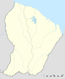
 Maripasoula Airport
Summary Airport type Public Operator Conseil Général de la Guyane Serves Maripasoula, French Guiana Elevation AMSL 377 ft / 115 m Coordinates 03°39′27″N 054°02′14″W / 3.6575°N 54.03722°W Runways Direction Length Surface m ft 07/25 1,200 3,937 Concrete Sources: French AIP[1], DAFIF[2][3] Maripasoula Airport (IATA: MPY, ICAO: SOOA) is an airport located 3.5 km (1.9 NM) north of Maripasoula,[1] a commune in the arrondissement of Saint-Laurent-du-Maroni in French Guiana. It is near the Lawa River, which forms the border between French Guiana and Suriname.
Contents
Facilities
The airport resides at an elevation of 377 feet (115 m) above mean sea level. It has one runway designated 07/25 with a concrete surface measuring 1,200 by 15 metres (3,937 × 49 ft).[1]
Airlines and destinations
Airlines Destinations Air Guyane Express Cayenne, Grand Santi, Saint-Laurent du Maroni, Saul [4] References
- ^ a b c SOOA – Maripasoula (PDF). AIP from French Service d'information aéronautique, effective 20 Oct 2011.
- ^ Airport information for SO63 from DAFIF (effective October 2006)
- ^ Airport information for MPY at Great Circle Mapper.
- ^ "Air Guyane Express". http://www.airguyane.com. Retrieved 23 August 2010.
External links
Categories:- Airports in French Guiana

Wikimedia Foundation. 2010.