- Maramani
-
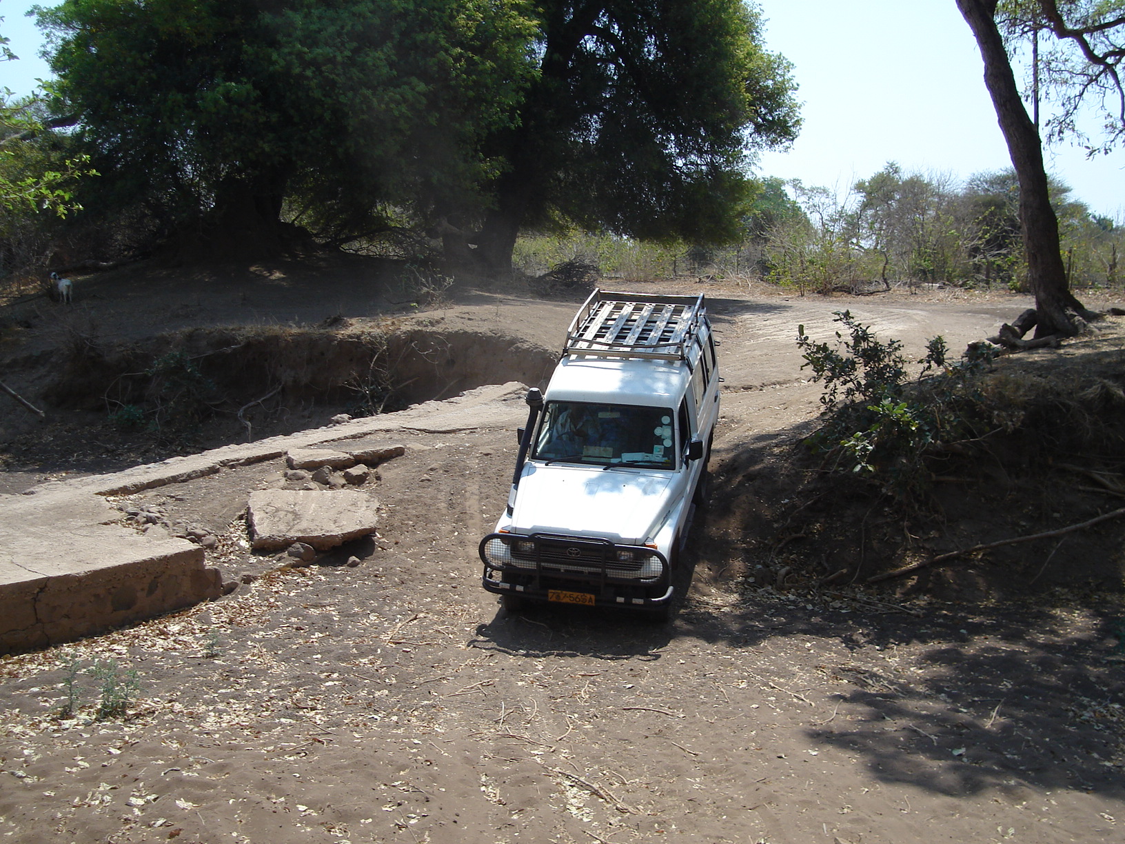
Maramani — Ward — Damaged river crossing in Maramani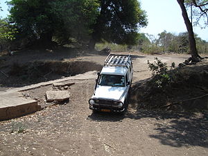 Location in Zimbabwe
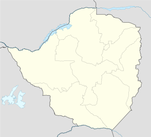
 Maramani
Coordinates: 22°1′S 29°22′E / 22.017°S 29.367°ECoordinates: 22°1′S 29°22′E / 22.017°S 29.367°E Country  Zimbabwe
Province Matabeleland South District Beitbridge District Time zone Central Africa Time (UTC+2) Maramani is a ward in Beitbridge District of Matabeleland South province in southern Zimbabwe.
Beitbridge District Capital: BeitbridgeWards Chipise, Dendele, Dite II, Machuchuta, Maramani, Masera, Mtetengwe I, Mtetengwe II, Mtetengwe III, Siyoka I, Siyoka II
Rivers Dams/reservoirs Chamtete Dam, Dendele Dam, Giraffe Dam, Tongwe Dam, Tshamaswiswi Dam, Tshisara Dam, Zhovhe DamLandforms Homba hills, Marangudzi mountainSettlements Beitbridge, Bubye River, Chikwarakwara Irrigation Scheme, Lutumba, Mazunga, River Ranch Mine, Shashi Irrigation SchemeTransport Protected areas Education Chabili School, Chapongwe School, Chaswingo School, Chikwarakwara School, Chipise School, Chituripasi Primary School, Chituripasi Secondary School, Dite School, Fula School, Jopembe School, Madaulo School, Makombe School, Malabe School, Malungudzi Secondary School, Matshiloni School, Mugaladhiva School, Penemene School, Rukange School, Tongwe SchoolCulture and sport Dulibadzimu Stadium, Underhill F.C.Notable people Constituencies Beitbridge East, Beitbridge West, Beitbridge senatorial constituencyDombolidenje Dam
Categories:- Populated places in Zimbabwe
- Wards of Zimbabwe
- Beitbridge District
- Zimbabwe geography stubs


Wikimedia Foundation. 2010.