- Magbass
-
Magbass, Siera Leone Location in Sierra Leone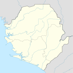
 Magbass, Siera Leone
Coordinates: 08°43′01″N 11°56′36″W / 8.71694°N 11.94333°WCoordinates: 08°43′01″N 11°56′36″W / 8.71694°N 11.94333°W Country  Sierra Leone
Province Northern Province District Tonkolili District Time zone GMT (UTC-5)
Magbass Is a farming town in Tonkolili District in the Northern Province of Sierra Leone. Magbass is located about 55 miles from Freetown. The town is home to the Magbass Sugar Complex, one of the largest sugar producing plantation in West Africa [1]. The factory provides employment for a number of people within Tonkolili District and across Sierra Leone [2].Categories:- Populated places in Sierra Leone

Wikimedia Foundation. 2010.