- Du Toitskloof Pass
-
Coordinates: 33°43′29.1″S 19°08′48.0″E / 33.72475°S 19.14667°E
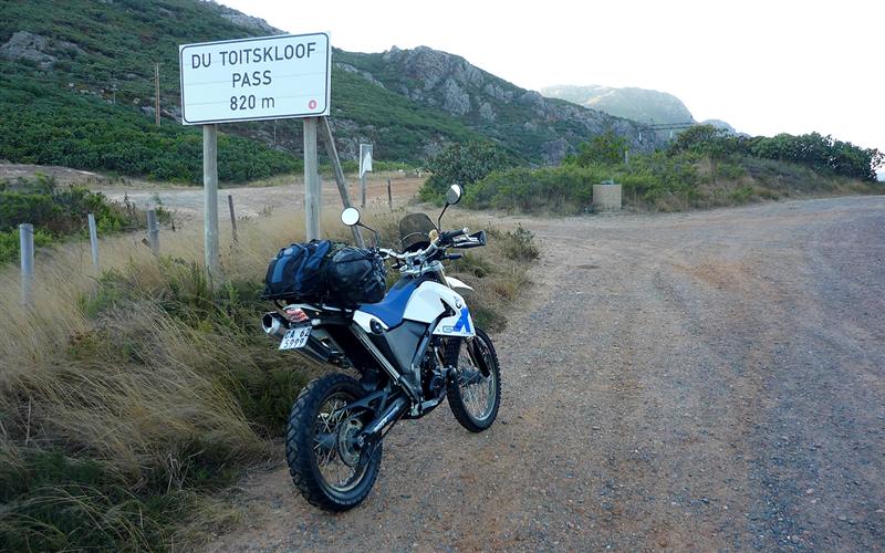
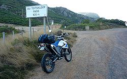 Highest point sign
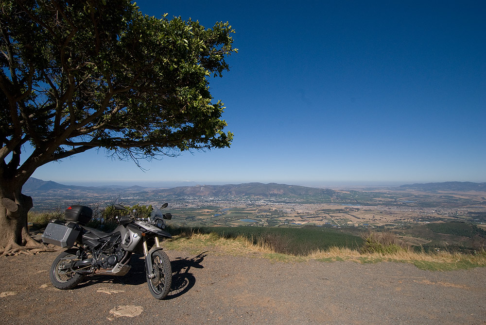
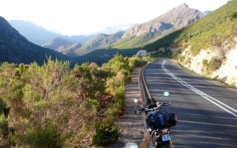
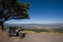 View from the pass
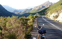 Part of the pass
Du Toitskloof Pass (English: Du Toit's Gap) is situated in the Western Cape province of South Africa, on the Regional road R101 between Paarl and Worcester. The pass was named after Francois Du Toit, a 17th century Huguenot pioneer who settled in the foothills. It was initially an animal track where a road was built around the time of World War II.
Originally 48km long, the pass climbed to 820 metres (2,690 ft). The Huguenot Tunnel, opened in 1988, is the largest curved structure in South Africa and shortens the road by 11 kilometres (6.8 mi). It is operated as a toll road. There is an impressive viaduct on the Paarl approach side.
The surrounding peaks often sport a covering of snow and the Mountain Club of South Africa has huts in the area. Du Toits Peak is the highest mountain at 1,995 metres (6,545 ft).
References
Categories:- Western Cape geography stubs
- Mountain passes of the Western Cape
- N1 road (South Africa)
Wikimedia Foundation. 2010.