- Delareyville
-
Delareyville 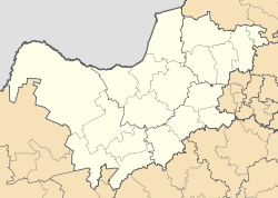
 Delareyville
Coordinates: 26°41′0″S 25°28′0″E / 26.683333°S 25.466667°E Country  South Africa
Province North West Province District Ngaka Modiri Molema District Local Municipality Tswaing Time zone SAST (UTC+2) Delareyville is a maize and peanut farming town situated in North West Province of South Africa.
History
The town was established in 1914 and named after Boer War General Koos de la Rey.
Coordinates: 26°41′S 25°28′E / 26.683°S 25.467°E
Categories:- Populated places in North West (South African province)
- North West (South Africa) geography stubs

Wikimedia Foundation. 2010.