- Barisha, Harem
-
Coordinates: 36°09′58″N 036°38′10″E / 36.16611°N 36.63611°E
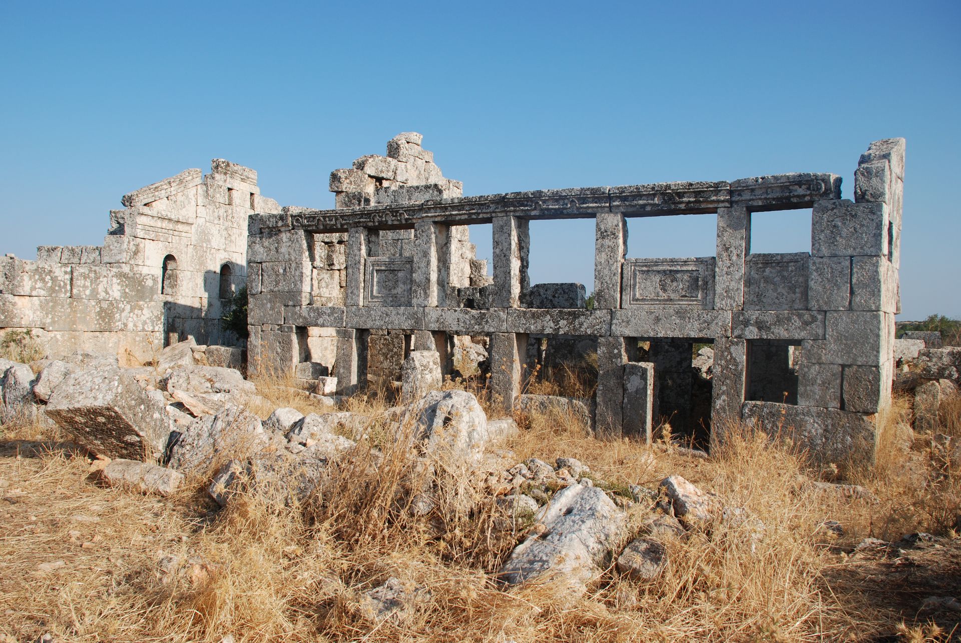
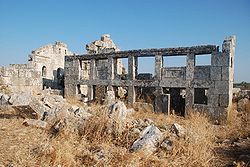 Villa with porch pillars, to the left is the east gable of the Basilica
Barisha, Bārīšā[1] or Baricha (Arabic: باريشا), is a village and an ancient settlement, Dayhis, in the Dead Cities area of northwestern Syria.[2] There are early Byzantine period ruins including residential buildings, cisterns, olive presses, and a church.[3]
Geography
Barisha is located in Harem District of Idlib Governorate in the Ala Mountains near the Syrian border with Turkey. It is in the central region of the northern Syrian limestone massif, about 5 kilometres (3.1 mi) from Qalb Loze across a valley. The karst topography of the limestone left many small caves, some of which were habitations.
The modern village is about 500 metres (1,640 ft) north of the ruins. The ruins are surrounded by olive groves and small plots of mostly wheat.
Notes
- ^ Bārīshā (Approved) at GEOnet Names Server, United States National Geospatial-Intelligence Agency
- ^ Burns, Ross (2009) The Monuments of Syria: A Guide (third edition) I.B. Taurus, London, page 140, ISBN 978-1-84511-947-8
- ^ Strube, Christine (2006) "Baudekoration im Nordsyrischen Kalksteinmassiv Vol. II. Kapitell-, Tür- und Gesimsformen des 6. und frühen 7. Jahrhunderts n. Chr. (Damaszener Forschungen 11) Philipp von Zabern, Mainz, Germany, pp. 85–87, Byzantinische Zeitschrift 98(2): pp. 610–615, doi: 10.1515/BYZS.2005.610; in German
External links
- "Barisha" Panoramio photographs
Categories:- History of Syria
- Buildings and structures in Syria
- Archaeological sites in Syria
- Churches in Syria
- Dead Cities
Wikimedia Foundation. 2010.