- Daisy Lake (Algoma District, Ontario)
-
Daisy Lake Lake Country Canada Province Ontario Region Northeastern Ontario District Algoma Municipality Algoma, Unorganized, North Part Tributaries - Primary inflow Daisy Creek Elevation 445 m (1,460 ft) Coordinates 47°43′36″N 84°09′50″W / 47.72667°N 84.16389°W Mouth Daisy Creek - coordinates 47°43′05″N 84°08′40″W / 47.71806°N 84.14444°W Length 3 km (2 mi) Width 1.7 km (1 mi) 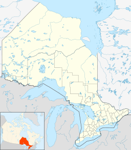
 Location of Daisy Lake in Ontario.For other places with the same name, see Daisy Lake (disambiguation).
Daisy Lake is a lake in the Lake Superior drainage basin in the Unorganized North Part of Algoma District in northeastern Ontario, Canada.
The lake is about 3 kilometres (2 mi) long and 1.7 kilometres (1.1 mi) wide, lies at an elevation of 445 metres (1,460 ft), and is located about 54 kilometres (34 mi) southeast of the community of Wawa. There is one named inflow, Daisy Creek, at the southwest, and one unnamed creek inflow at the north. The primary outflow is also Daisy Creek, which flows via Shasta Creek, the Jackpine River and the Michipicoten River to Lake Superior.
References
- "Daisy Lake". Geographical Names Data Base. Natural Resources Canada. http://geonames.nrcan.gc.ca/search/unique_e.php?id=FAVEP&output=xml. Retrieved 2010-08-16.
- "Topographic Map sheet 41N9". Atlas of Canada. Natural Resources Canada. 2010-02-04. http://atlas.nrcan.gc.ca/site/english/maps/topo/map/. Retrieved 2010-08-16.
Categories:- Northern Ontario geography stubs
- Lakes of Algoma District, Ontario

Wikimedia Foundation. 2010.