- D52 road (Croatia)
-
D52 state road
Route information Length: 41.1 km (25.5 mi) Major junctions From:  D23 near Otočac
To:  D1 near Korenica
Location Counties: Lika-Senj Major cities: Korenica Highway system State roads in Croatia
 Otočac, near the eastern terminus of the D52 road
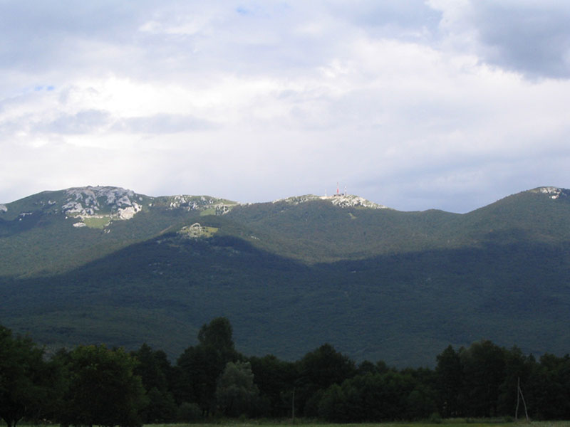
 Lička Plješivica seen from Korenica at the eastern terminus of the D52 road
D52 state road, located in Lika region of Croatia connecting cities and towns of Otočac and Korenica, to the state road network of Croatia, and to A1 motorway at Otočac interchange (via D50.[1] The road is 41.1 km (25.5 mi) long.[2]
The D50 state road runs parallel to a section of the A1 motorway between Žuta Lokva and Sveti Rok interchanges, thus serving as an alternate or backup route for the motorway.
The road, as well as all other state roads in Croatia, is managed and maintained by Hrvatske ceste, a state-owned company.[3]
Traffic volume
Traffic is regularly counted and reported by Hrvatske ceste, operator of the road.[4] Substantial variations between annual (AADT) and summer (ASDT) traffic volumes at some counting sites are attributed to the fact that the road connects to D1 and D50 which in turn provide connections to other major highways carrying tourist traffic.
D52 traffic volume Road Counting site AADT ASDT Notes  D52
D524204 Vrhovine 1,462 2,573 Adjacent to Ž5130 junction. Road junctions and populated areas
D52 major junctions/populated areas Type Slip roads/Notes  D50 to Otočac and A1 motorway Otočac interchange(to the north) and Gospić (to the south).
The western terminus of the road.
Podhum
Ž5144 to Čovići (D50).Zalužnica
Ž5130 to Doljani.Vrhovine
Ž5149 to Gornje Vrhovine.Gornji Babin Potok Ž5150 to Jezerce (D1). Homoljac Vrelo Koreničko D1 to Slunj and Plitvice Lakes National Park (to the north) and to Korenica and Knin (to the south).
The eastern terminus of the road.Sources
- ^ "Regulation on motorway markings, chainage, interchange/exit/rest area numbers and names" (in Croatian). Narodne novine. May 6, 2003. http://narodne-novine.nn.hr/clanci/sluzbeni/305463.html.
- ^ "Decision on categorization of public roads as state roads, county roads and local roads" (in Croatian). Narodne novine. February 17, 2010. http://narodne-novine.nn.hr/clanci/sluzbeni/2010_02_17_410.html.
- ^ "Public Roads Act" (in Croatian). Narodne novine. December 14, 2004. http://narodne-novine.nn.hr/clanci/sluzbeni/2004_12_180_3130.html.
- ^ "Traffic counting on the roadways of Croatia in 2009 - digest". Hrvatske ceste. May 1, 2010. http://www.hrvatske-ceste.hr/WEB%20-%20Legislativa/brojenje-prometa/CroDig2009.pdf.
Categories:- State roads in Croatia
- Lika-Senj County


Wikimedia Foundation. 2010.