- D528 road (Croatia)
-
D528 state road
Route information Length: 2.4 km (1.5 mi) Major junctions From:  D3 near Varaždin
 D2 near Varaždin
To:  A4 in Varaždin interchange
Location Counties: Varaždin Major cities: Varaždin Highway system State roads in Croatia
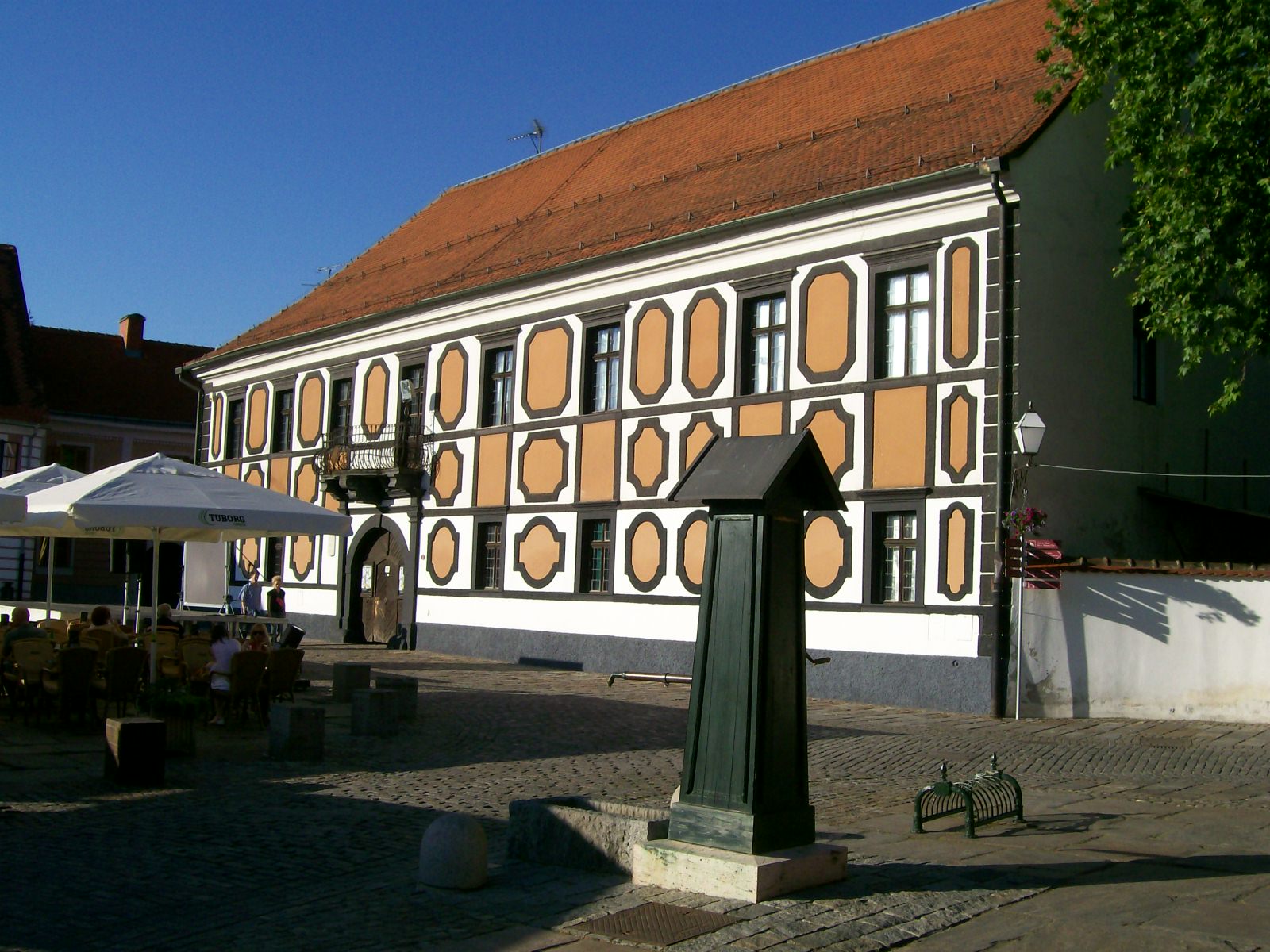
 Varaždin, near the western terminus of the D528
D528 connects the A4 motorway Varaždin interchange to the D2 and D3 state roads, just to the south of the City of Varaždin.[1] The eastern terminus of the road is an intersection with the D2 and D3 state roads, which are concurrent at that location. The road is 2.4 km (1.5 mi) long.[2]
The road, as well as all other state roads in Croatia, is managed and maintained by Hrvatske ceste, state owned company.[3]
Contents
Traffic volume
The D528 state road traffic volume is not reported by Hrvatske ceste, however they regularly count and report traffic volume on the A4 motorway Varaždin interchange, which connects to the D528 road only, thus permitting the D528 road traffic volume to be accurately calculated.[4] The report includes no information on ASDT volumes.
D528 traffic volume Road Counting site AADT ASDT Notes A4Varaždin interchange 311 n/a Southbound A4 traffic leaving the motorway at the interchange. A4Varaždin interchange 2,971 n/a Southbound A4 traffic entering the motorway at the interchange. A4Varaždin interchange 2,895 n/a Northbound A4 traffic leaving the motorway at the interchange. A4Varaždin interchange 320 n/a Northbound A4 traffic entering the motorway at the interchange.  D528
D528Varaždin interchange 6,497 n/a Total traffic entering/leaving the A4 motorway from/to D528. Road junctions and populated areas
D528 junctions/populated areas Type Slip roads/Notes  D2 to Nedeljanec (D35) and Dubrava Križovljanska border crossing to Slovenia (to the west) and Varaždin (to the north).
D3 to Novi Marof (D22) and Breznički Hum (to the south) and Varaždin (to the north).
The D2 and D3 roads are concurrent to the north of the intersection.
The western terminus of the road. A4 in Varaždin interchange, to Zagreb (to the south) and to Čakovec (to the north).
The eastern terminus of the road.Sources
- ^ "Regulation on motorway markings, chainage, interchange/exit/rest area numbers and names" (in Croatian). Narodne novine. April 24, 2003. http://www.mmpi.hr/UserDocsImages/nn-73-03-Pravilnik-oznacav-ac.htm.
- ^ "Decision on categorization of public roads as state roads, county roads and local roads" (in Croatian). Narodne novine. February 17, 2010. http://narodne-novine.nn.hr/clanci/sluzbeni/2010_02_17_410.html.
- ^ "Public Roads Act" (in Croatian). Narodne novine. December 14, 2004. http://narodne-novine.nn.hr/clanci/sluzbeni/2004_12_180_3130.html.
- ^ "Traffic counting on the roadways of Croatia in 2009 - digest" (in English). Hrvatske ceste. May 1, 2010. http://www.hrvatske-ceste.hr/WEB%20-%20Legislativa/brojenje-prometa/CroDig2009.pdf.
See also
- A4 motorway
- State roads in Croatia
- Hrvatske ceste
Categories:- State roads in Croatia
- Varaždin County

Wikimedia Foundation. 2010.