- D508 road (Croatia)
-
D508 state road
Route information Length: 19.2 km (11.9 mi) Major junctions From:  D1 near Macelj border crossing
To:  D35 in Lepoglava
Location Counties: Krapina-Zagorje Major cities: Đurmanec Highway system State roads in Croatia
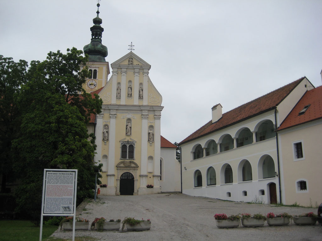
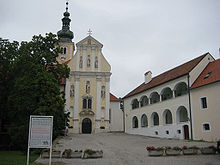 Lepoglava, at the southern terminus of the D508 road
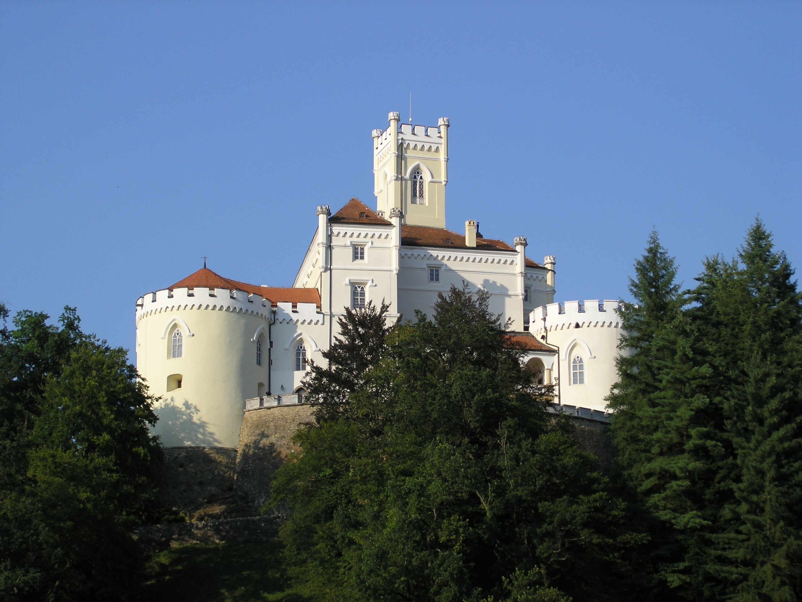
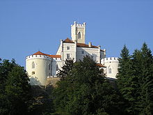 Trakošćan Castle, near the D508 road route
D508 is a state road in Hrvatsko Zagorje region of Croatia connecting Macelj border crossing to Slovenia[1] and the A2 motorway Trakošćan interchange to the city of Lepoglava and to Trakošćan.[2] The road is 19.2 km (11.9 mi) long.[3]
The road, as well as all other state roads in Croatia, is managed and maintained by Hrvatske ceste, state owned company.[4]
Contents
Traffic volume
Traffic is regularly counted and reported by Hrvatske ceste, operator of the road.[5]
D508 traffic volume Road Counting site AADT ASDT Notes  D508
D5081102 Pleš (Bednja) 1,259 1,662 Adjacent to the Ž2099 junction. Road junctions and populated areas
D508 junctions/populated areas Type Slip roads/Notes  D1 to Macelj border crossing[1] and Krapina.
The western terminus of the road.
Trakošćan
Ž2056 to Jazbina Cvetlinska.Pleš 
Ž2083 to Vranojelje, Vrbno and Šaša. Bednja
Ž2099 to Gornje Jesenje.Rinkovec Muničevec Lepoglava
D35 to Varaždin (D2) (to the north) and to Sveti Križ Začretje (D1) (to the south).
The eastern terminus of the road.Sources
- ^ a b "Map of border crossings and customs office areas" (in Croatian). Customs Administration of the Republic of Croatia. March 6, 2008. http://www.carina.hr/CURH/Dokumenti/Globalni/Karta_Carinarnica_RH.pdf.
- ^ "Regulation on motorway markings, chainage, interchange/exit/rest area numbers and names" (in Croatian). Narodne novine. April 24, 2003. http://www.mmpi.hr/UserDocsImages/nn-73-03-Pravilnik-oznacav-ac.htm.
- ^ "Decision on categorization of public roads as state roads, county roads and local roads" (in Croatian). Narodne novine. February 17, 2010. http://narodne-novine.nn.hr/clanci/sluzbeni/2010_02_17_410.html.
- ^ "Public Roads Act" (in Croatian). Narodne novine. December 14, 2004. http://narodne-novine.nn.hr/clanci/sluzbeni/2004_12_180_3130.html.
- ^ "Traffic counting on the roadways of Croatia in 2009 - digest" (in English). Hrvatske ceste. May 1, 2010. http://www.hrvatske-ceste.hr/WEB%20-%20Legislativa/brojenje-prometa/CroDig2009.pdf.
See also
- State roads in Croatia
- Hrvatske ceste
Categories:- State roads in Croatia
- Krapina-Zagorje County

Wikimedia Foundation. 2010.