- Crystal Springs Creek
-
Crystal Springs Creek 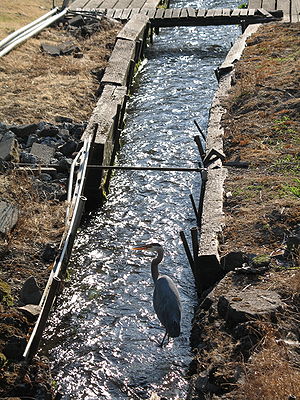 Headwaters near Reed College
Country United States State Oregon County Multnomah Source natural springs near Reed College - location Portland, Oregon - elevation 203 ft (62 m) [1] - coordinates 45°28′50″N 122°37′24″W / 45.48056°N 122.62333°W [2] Mouth Johnson Creek - location Portland, Oregon - elevation 43 ft (13 m) [2] - coordinates 45°27′36″N 122°38′32″W / 45.46°N 122.64222°W [2] Length 2.7 mi (4 km) [3] 
 Location of the mouth of Crystal Springs Creek in Oregon
Crystal Springs Creek, a 2.7-mile (4.3 km)[3] tributary of Johnson Creek, flows entirely within the city of Portland in the U.S. state of Oregon.[4] The stream rises from springs near the Reed College campus in the southeastern part of the city and runs generally southwest to meet Johnson Creek in the Portland neighborhood of Sellwood.[4]
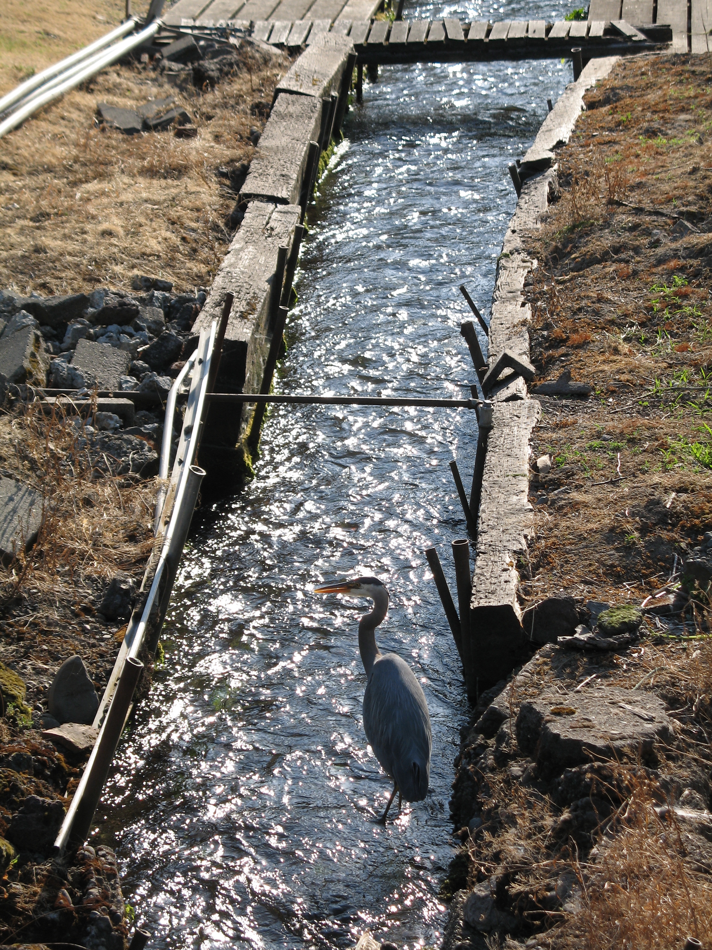
The creek's even flow and cool year-round temperature make it a good place for fish, including Coho and Chinook salmon and steelhead trout, all of which are threatened species. The stream has been designated critical habitat under the Endangered Species Act. To improve the habitat, the city is replacing old culverts that impede fish passage, and Reed College is working to improve habitat and fish passage near the headwaters at Reed Lake.[4]
Contents
Course
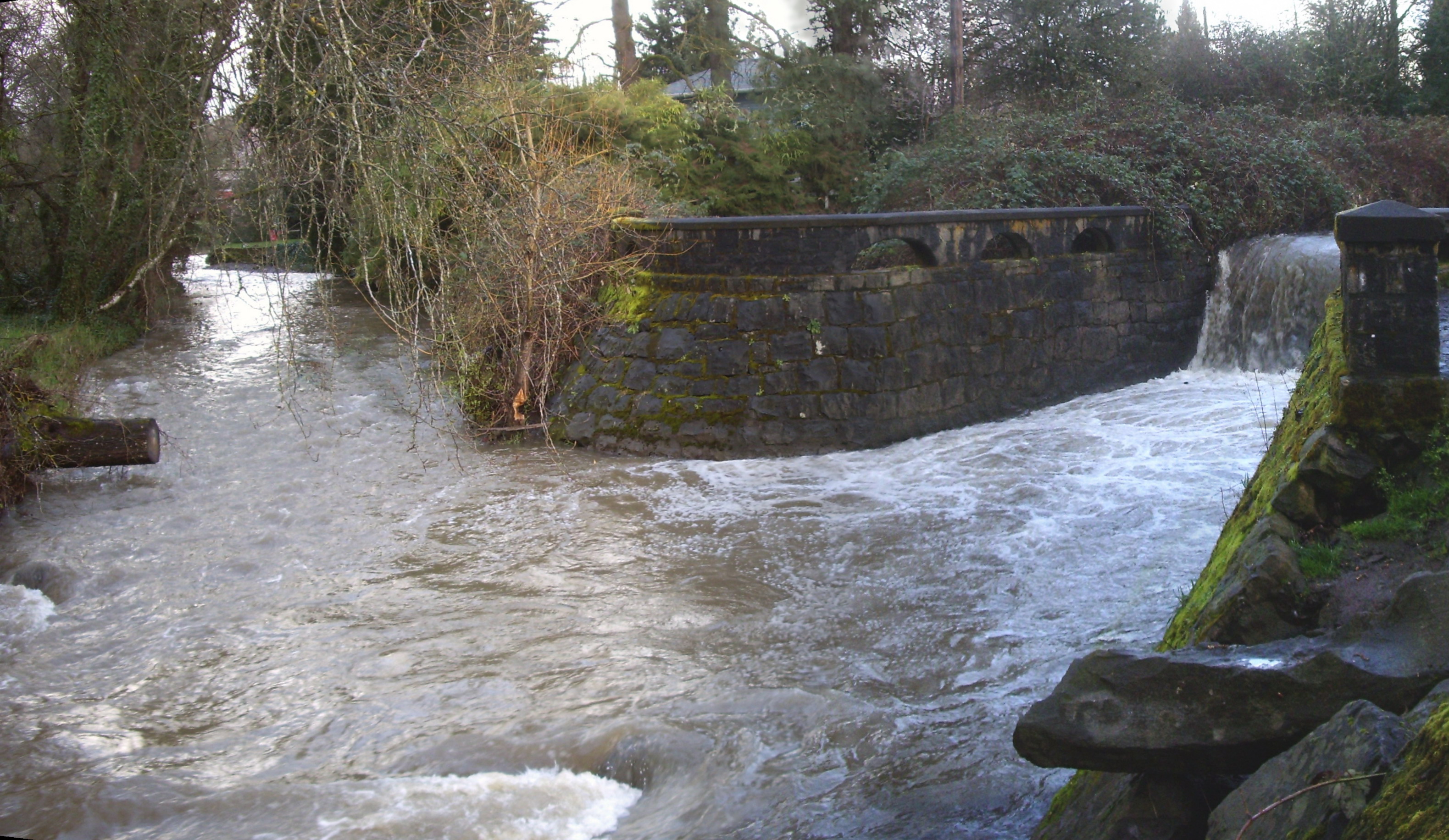
From Reed Lake and Blue Bridge on the Reed College campus, the stream flows west under Southeast 28th Avenue, then south around Crystal Springs Lake and the Crystal Springs Rhododendron Garden, which are on the left bank. Flowing south through the Eastmoreland Golf Course, the creek receives the overflow from Crystal Springs Lake. Further downstream, Crystal Springs Creek flows southwest under the tracks of the Union Pacific Railroad and Oregon Route 99E (Southeast McLoughlin Boulevard). Turning sharply south again, the stream passes through residential neighborhoods, Westmoreland Park, and Johnson Creek Park, where it meets Johnson Creek. About 1 mile (1.6 km) further downstream, Johnson Creek empties into the Willamette River 18.5 miles (29.8 km) above its confluence with the Columbia River.[5][6]
See also
References
- ^ Source elevation derived from Google Earth search using source coordinates.
- ^ a b c "Crystal Springs Creek". Geographic Names Information System (GNIS). United States Geological Survey. November 28, 1980. http://geonames.usgs.gov/pls/gnispublic/f?p=gnispq:3:::NO::P3_FID:1119612. Retrieved November 22, 2010.
- ^ a b "Nature in Neighborhoods grant helps Crystal Springs Creek become sanctuary for salmon". Metro Regional Government. March 23, 2010. http://news.oregonmetro.gov/8/post.cfm/nature-in-neighborhoods-grant-helps-crystal-springs-creek-become-sanctuary-for-salmon. Retrieved November 24, 2010.
- ^ a b c "Crystal Springs Creek Habitat Restoration Projects" (PDF). Portland Bureau of Environmental Services. 2009. http://www.portlandonline.com/bes/index.cfm?&c=33213&a=257372. Retrieved November 28, 2010.
- ^ "Crystal Springs Creek". Google Maps. http://maps.google.com/maps?ll=45.46,-122.642222&spn=0.1,0.1&t=m&q=45.46,-122.642222. Retrieved November 30, 2010.
- ^ United States Geological Survey. "United States Geological Survey Topographic Map: Lake Oswego, Oregon, quadrangle". TopoQuest. http://www.topoquest.com/map.php?lat=45.45078&lon=-122.64222&datum=nad83&zoom=4&map=auto&coord=d&mode=zoomin&size=m. Retrieved November 29, 2010. The map includes river mile (RM) markers along the Willamette.
External links
Watersheds in Portland, Oregon Major 
Minor Balch Creek · Columbia Slough · Crystal Springs Creek · Fanno Creek · Johnson Creek · Stephens Creek · Tryon CreekDrinking water Bull Run River · Portland Water BureauCategories:- Geography of Portland, Oregon
- Streams of Oregon
- Landforms of Multnomah County, Oregon

Wikimedia Foundation. 2010.