- Copake Falls (NYCRR station)
-
Copake Falls 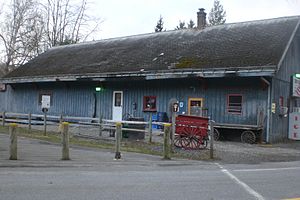
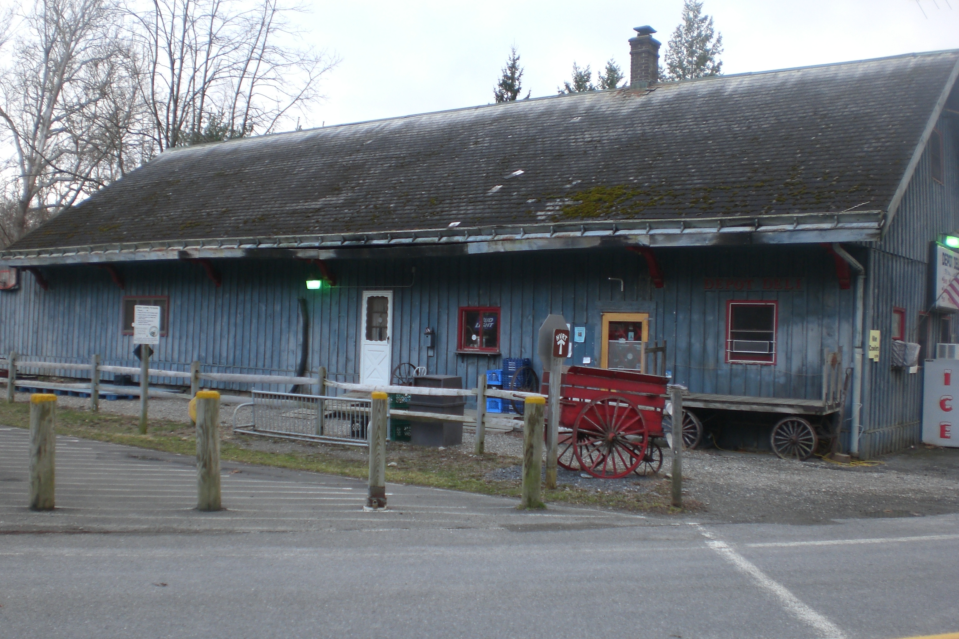
Copake Falls Station. Note luggage carriers.Station statistics Address New York State Route 344
Copake, New York, 12516Coordinates 42°07′14″N 73°31′13″W / 42.1206°N 73.5204°WCoordinates: 42°07′14″N 73°31′13″W / 42.1206°N 73.5204°W Tracks 0 Other information Opened 1905 - March 22, 1972 Services Preceding station New York Central Railroad Following station Boston Cornerstoward Grand CentralHarlem Line Hillsdaletoward ChathamCopake Falls was a former NYCRR train station that served the residents of Copake, New York.
History
The station catered to a local community that was served by the New York & Harlem Railroad, later the Harlem Division of the New York Central Railroad. The railroad between Dover Plains (to the south) and the end of the line at Chatham (to the north) was constructed between 1848 and 1852. The current train station was built in 1905.
In 1968, the station and the railroad became part of Penn Central. After a tumultuous court battle, passenger service north of Dover Plains to Chatham came to an end on March 20, 1972[1], and the station was closed (although a clause in the building's lease states that if passenger service ever resumes, space must be provided in the building for a waiting area). The tracks were then only used by freight trains sporadically until that service ended in 1976. The rails were removed in 1981, and the right of way was converted into a rail trail in the 1990s.
The building currently houses a small, seasonal convenience store, catering primarily to visitors to the nearby Copake Falls portion of Taconic State Park and nearby Bash Bish Falls.
References
External links
Categories:- Stations along New York Central Railroad lines
- Railway stations opened in 1905
- Railway stations closed in 1972
- New York railway station stubs
Wikimedia Foundation. 2010.