- Coonooer Bridge, Victoria
-
Coonooer Bridge
Victoria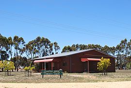
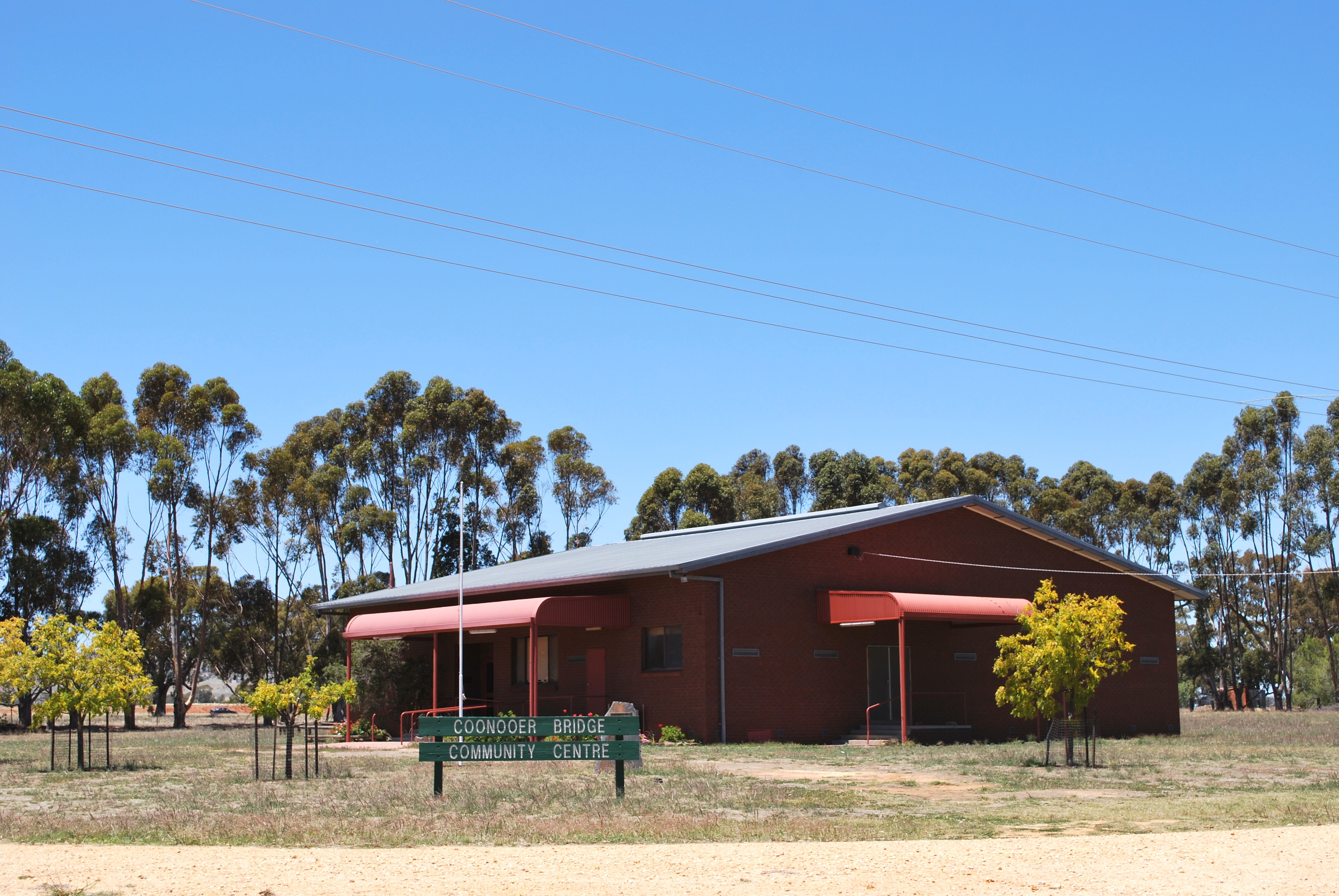
Community centre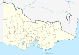
 Coonooer Bridge
Population: 16 Postcode: 3477 Coordinates: 36°28′S 143°19′E / 36.467°S 143.317°ECoordinates: 36°28′S 143°19′E / 36.467°S 143.317°E Location: LGA: Shire of Buloke State District: Swan Hill Federal Division: Murray Mean max temp Mean min temp Annual rainfall 27 °C
81 °F10 °C
50 °F450 mm
17.7 inCoonooer Bridge is a township in western Victoria. The town is in the Shire of Buloke, 263 kilometres (163 mi) north west of the state capital, Melbourne.
Coonooer Bridge Methodist Church was built in 1875 and still stands today as one of the oldest buildings in the shire.
The Coonooer Bridge Community Centre was built in 1984 and opened in October of that year. It was built on the site of the Coonooer Bridge State School which closed in 1964.
A War Memorial erected by local citizens in 1920 commemorates servicemen and women from the local area serving in the Great War and World War 2.
Coonooer Bridge Post Office opened around January 1879 and closed in 1966. A Conover (an alternative spelling of Coonooer) office was open nearby between 1873 and 1895.[1]
References
- ^ Premier Postal History, Post Office List, https://www.premierpostal.com/cgi-bin/wsProd.sh/Viewpocdwrapper.p?SortBy=VIC&country=, retrieved 2008-04-11
Categories:- Towns in Victoria (Australia)
- Victoria (Australia) geography stubs

Wikimedia Foundation. 2010.