- Clanwilliam, Western Cape
-
Clanwilliam — Town — Clanwilliam Dam Location of the town in Western Cape
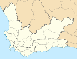
 ClanwilliamLocation of the town in South Africa
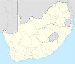 Clanwilliam
Coordinates: 32°10′43″S 18°53′28″E / 32.17861°S 18.89111°ECoordinates: 32°10′43″S 18°53′28″E / 32.17861°S 18.89111°E Country  South Africa
Province Western Cape District municipality West Coast District Municipality Local municipality Cederberg Local Municipality Elevation 100 m (328 ft) Population (2001)[1] – Total 6,089 Time zone SAST (UTC+2) Postal code 8135 Area code(s) 027 Clanwilliam is a town in the Olifants River valley in the Western Cape, South Africa, about 200 kilometres (120 mi) north of Cape Town. It is located in, and the seat of, the Cederberg Local Municipality. As of 2001[update] Clanwilliam had a population of 6089.[1]
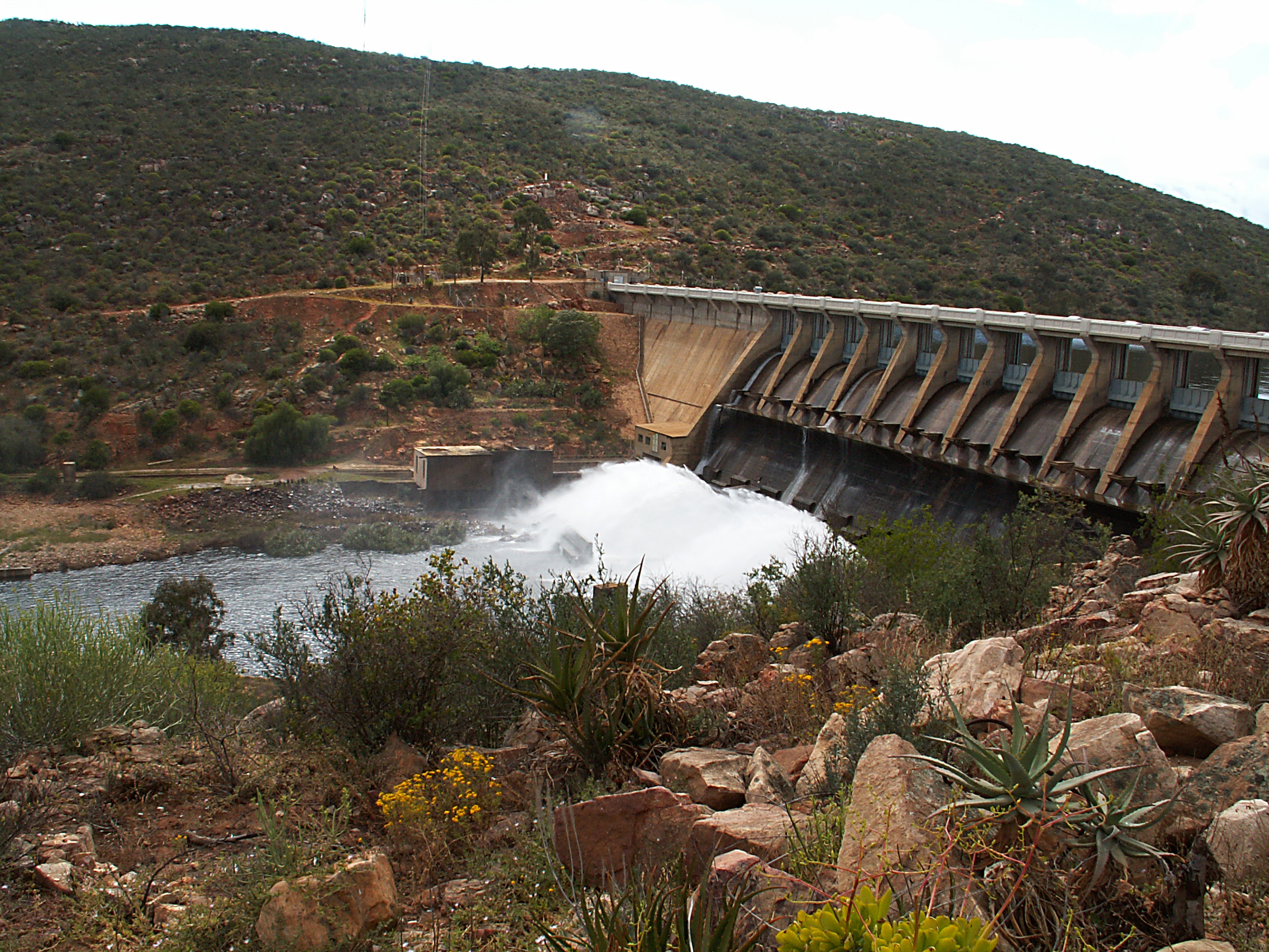
Clanwilliam is situated at an elevation of 100 metres (330 ft),[2] between the western slopes of the Cederberg mountains and the east bank of the Olifants River, which is impounded there by the Clanwilliam Dam. It is located just off the N7 national road, which runs from Cape Town to the Namibian border, and on the R364 road, which runs from Lamberts Bay to Calvinia. Clanwilliam is 230 kilometres (140 mi) from Cape Town by road.
Clanwilliam is the birth place of ZP Theart, former lead vocalist, and founding member of the British power metal band DragonForce.
References
- ^ a b "Main Place 'Clanwilliam'". Census 2001. http://census.adrianfrith.com/place/10203. Retrieved 1 April 2011.
- ^ Chief Directorate: National Geo-spatial Information (2003). 3218BB Clanwilliam (Map). 1:50 000. South Africa Topographic (3rd ed.).
External links

Matzikama • Cederberg • Bergrivier • Saldanha Bay • Swartland
Cities and towns Abbotsdale • Aurora • Bitterfontein • Chatsworth • Citrusdal • Clanwilliam • Darling • Doringbaai • Dwarskersbos • Ebenhaeser • Eendekuil • Elands Bay • Goedverwacht • Graafwater • Grotto Bay • Hopefield • Jacobsbaai • Jakkalsfontein • Kalbaskraal • Klawer • Koekenaap • Koringberg • Lamberts Bay • Langebaan • Langebaanweg • Lutzville • Malmesbury • Moorreesburg • Paternoster • Piketberg • Porterville • Redelinghuys • Riebeek-Kasteel • Riebeek West • Saldanha • St Helena Bay • Strandfontein • Vanrhynsdorp • Velddrif • Vredenburg • Vredendal • Wupperthal • Yzerfontein
Categories:- Western Cape geography stubs
- Populated places in the West Coast District Municipality


Wikimedia Foundation. 2010.