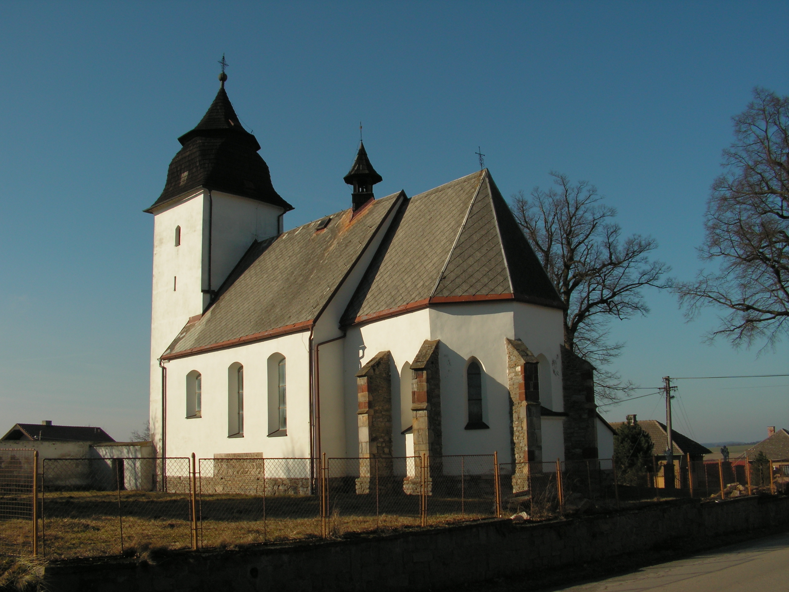
- Číhošť
-
Číhošť — Municipality — 

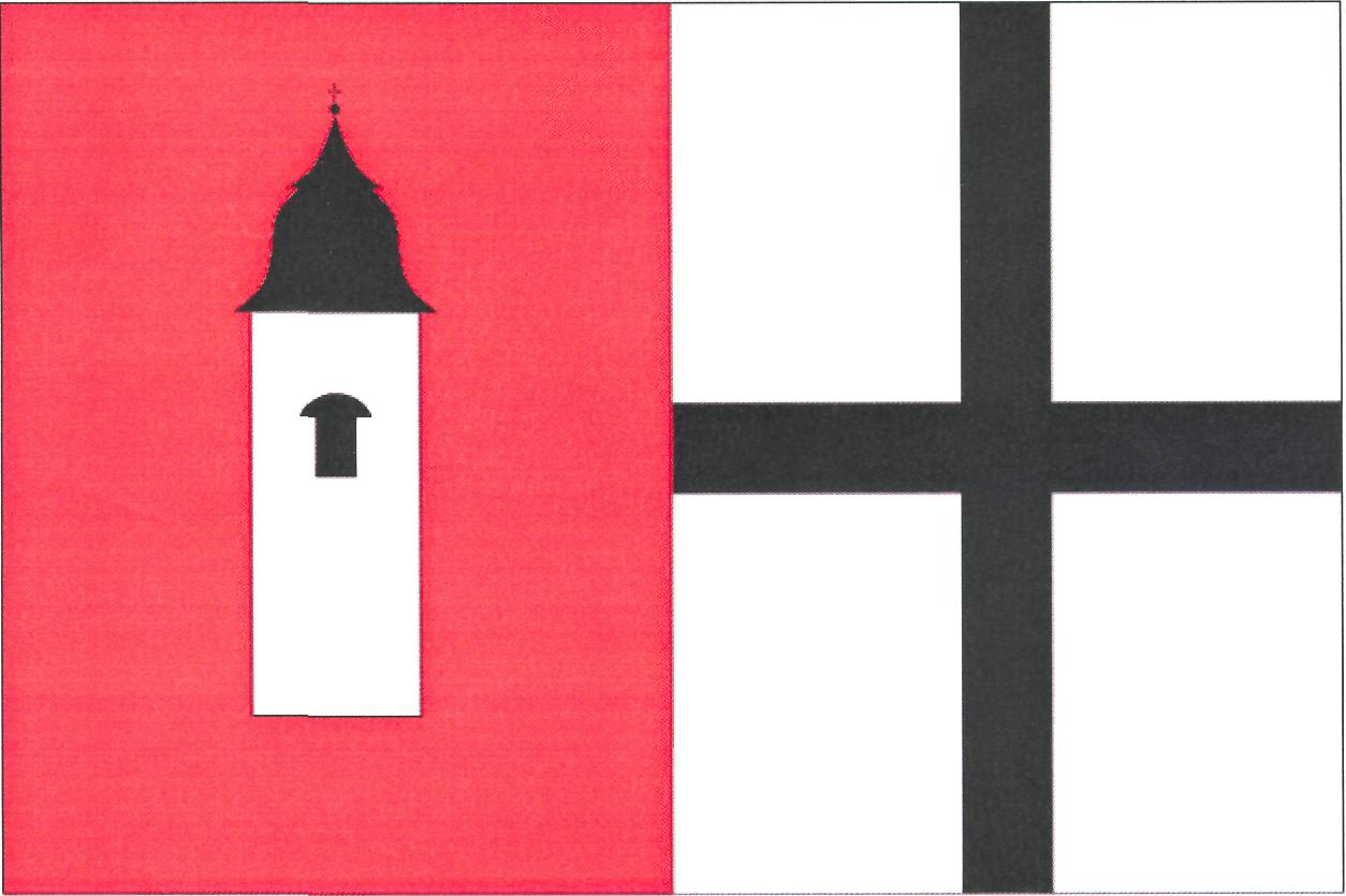
Flag
Coat of arms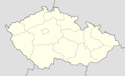
 Číhošť
Coordinates: 49°44′25″N 15°20′15″E / 49.74028°N 15.3375°ECoordinates: 49°44′25″N 15°20′15″E / 49.74028°N 15.3375°E Country  Czech Republic
Region Vysočina District Havlíčkův Brod Area – Total 16.28 km2 (6.3 sq mi) Elevation 545 m (1,788 ft) Population (2006) – Total 336 – Density 20.6/km2 (53.5/sq mi) Postal code 582 87 to 584 01 Website http://www.cihost.cz/ Číhošť (Czech pronunciation: [ˈciːɦoʃc]) is a village and municipality (obec) in Havlíčkův Brod District in the Vysočina Region of the Czech Republic.
The municipality covers an area of 16.28 square kilometres (6.29 sq mi), and has a population of 336 (as at 3 July 2006).
Číhošť lies approximately 23 kilometres (14 mi) north-west of Havlíčkův Brod, 43 km (27 mi) north-west of Jihlava, and 77 km (48 mi) south-east of Prague.
Near the village lies the officially calculated geographical centre of the Czech Republic.
References
Towns, market towns and villages of Havlíčkův Brod District Bačkov · Bartoušov · Bělá · Bezděkov · Bojiště · Boňkov · Borek · Břevnice · Čachotín · Čečkovice · Česká Bělá · Číhošť · Dlouhá Ves · Dolní Krupá · Dolní Město · Dolní Sokolovec · Druhanov · Golčův Jeníkov · Habry · Havlíčkova Borová · Havlíčkův Brod · Herálec · Heřmanice · Hněvkovice · Horní Krupá · Horní Paseka · Hradec · Hurtova Lhota · Chotěboř · Chrtníč · Chřenovice · Jedlá · Jeřišno · Jilem · Jitkov · Kámen · Kamenná Lhota · Klokočov · Knyk · Kochánov · Kojetín · Kouty · Kozlov · Kožlí · Kraborovice · Krásná Hora · Krátká Ves · Krucemburk · Kunemil · Květinov · Kyjov · Kynice · Lány · Ledeč nad Sázavou · Leškovice · Leština u Světlé · Libice nad Doubravou · Lípa · Lipnice nad Sázavou · Lučice · Malčín · Maleč · Michalovice · Modlíkov · Nejepín · Nová Ves u Chotěboře · Nová Ves u Leštiny · Nová Ves u Světlé · Okrouhlice · Okrouhlička · Olešenka · Olešná · Ostrov · Oudoleň · Ovesná Lhota · Pavlov · Podmoklany · Podmoky · Pohled · Pohleď · Prosíčka · Přibyslav · Příseka · Radostín · Rozsochatec · Rušinov · Rybníček · Sázavka · Sedletín · Skorkov · Skryje · Skuhrov · Slavětín · Slavíkov · Slavníč · Sloupno · Služátky · Sobíňov · Stříbrné Hory · Světlá nad Sázavou · Šlapanov · Štoky · Tis · Trpišovice · Uhelná Příbram · Úhořilka · Úsobí · Vepříkov · Veselý Žďár · Věž · Věžnice · Vilémov · Vilémovice · Víska · Vlkanov · Vysoká · Zvěstovice · Ždírec · Ždírec nad Doubravou · Žižkovo Pole

This Vysočina Region location article is a stub. You can help Wikipedia by expanding it.