- South Stormont
-
South Stormont, Ontario — Township — Community of St. Andrews West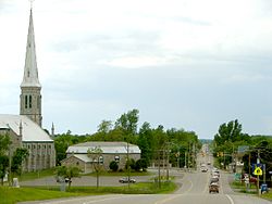
Coordinates: 45°05′00″N 74°58′00″W / 45.0833333°N 74.9666667°WCoordinates: 45°05′00″N 74°58′00″W / 45.0833333°N 74.9666667°W Country  Canada
Province  Ontario
County Stormont, Dundas and Glengarry Government – Type Township – Reeve (Mayor) Bryan McGillis – Deputy Mayor Tammy Hart – Councillor Richard Waldroff – Councillor Cindy Woods – Councillor Barry Brownlee Area – Total 447.46 km2 (172.8 sq mi) Population (2006) – Total 12,520 – Density 28.0/km2 (72.5/sq mi) Time zone Eastern (EST) (UTC-5) – Summer (DST) Eastern Daylight (EDT) (UTC-4) Postal code span K0C Area code(s) 613 Website South Stormont  Ingleside
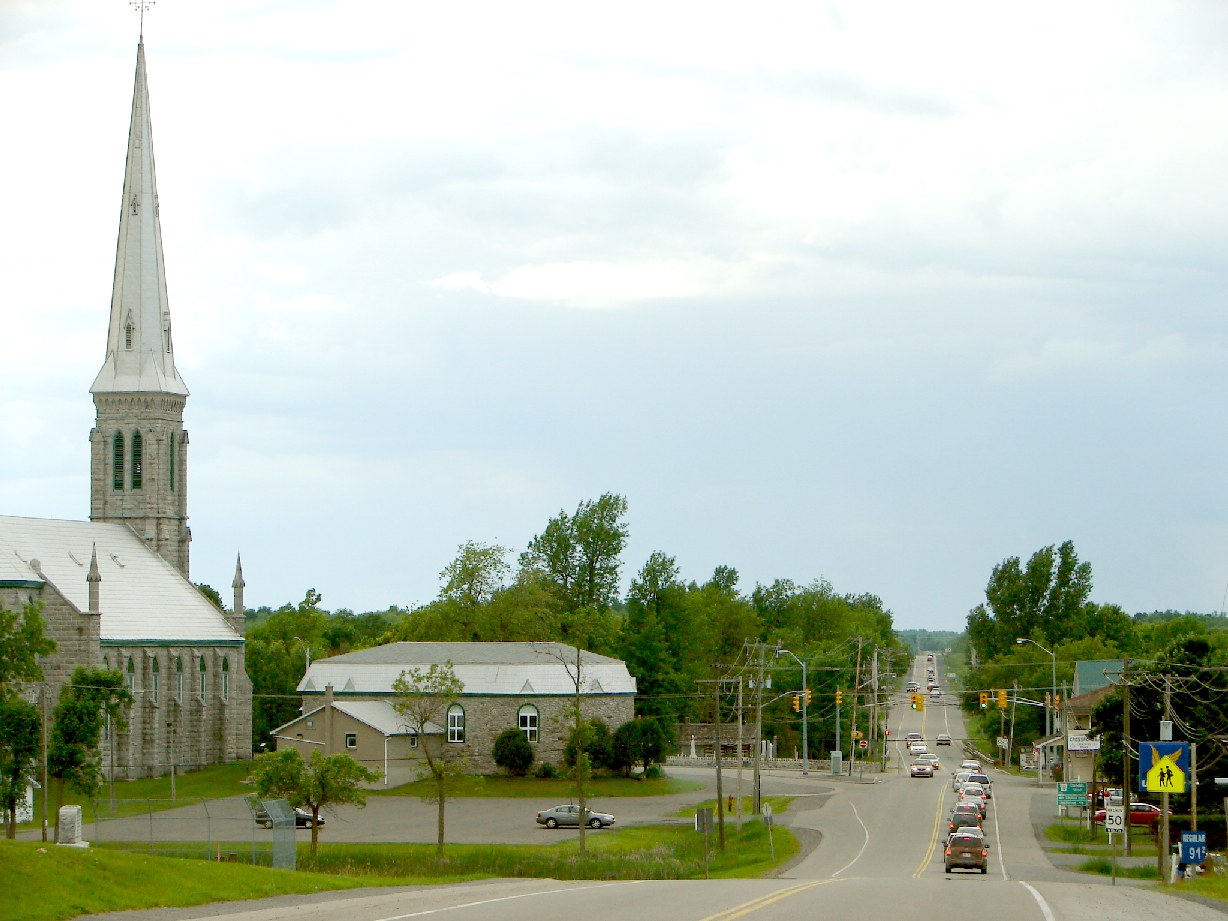
South Stormont is a township in eastern Ontario, Canada, in the United Counties of Stormont, Dundas and Glengarry. The township was incorporated on January 1, 1998, by amalgamating the former geographic townships of Cornwall and Osnabruck.
South Stormont borders on, but does not include, the city of Cornwall.
Contents
Communities
The township comprises the communities of Black River, Bonville, Bush Glen, Bunker Hill, Churchill Heights, Dixon, Gallingertown, Harrisons Corners, Ingleside, Lakeview Heights, Critesdale, Long Sault, Lunenburg, Newington, North Lunenburg, North Valley, Northfield, Northfield Station, Osnabruck Centre, Pleasant Valley, Rosedale Terrace, St. Andrews, Sandfield Mills and Sandtown.
Government
The township of South Stormont is governed by three councillors, a deputy reeve and a reeve (mayor). The term length is four years. South Stormont also conducts elections on the internet, using a secure, and cost-efficient website and automated telephone voting system.
- Reeve - Bryan McGillis
- Deputy Reeve - Tammy Hart
- Councillor - Cindy Woods
- Councillor - Barry Brownlee
- Councillor - Richard F. Waldroff
History
Cornwall and Osnabruck were two of the original eight "Royal Townships" established along the Saint Lawrence River in Upper Canada. Osnabruck was named after a title formerly held by Prince Frederick, son of George III, who at one time was Prince-Bishop of Osnabrück in Lower Saxony, and Cornwall was named for Prince Frederick's title as Duke of Cornwall.
This area was first settled by members of Sir John Johnson's King's Royal Regiment of New York, and became Stormont County in 1792.
The Lost Villages, ten ghost towns which were flooded by the construction of the St. Lawrence Seaway in 1958, were located in the former Cornwall and Osnabruck Townships. The communities of Long Sault and Ingleside were newly built to accommodate displaced residents of the flooded villages. Due to this relocation, the towns were entirely planned from their inception - a rarity in Ontario. Several streets in the two communities are named for the flooded settlements.
Demographics
According to the Canada 2006 Census:
- Population: 12,520
- % Change (2001 – 2006): 4.8
- Dwellings: 4,763
- Area (km²): 447.46
- Density (persons per km²): 28.0
Notable residents
- Jim Brownell: Local MPP
- Jesse Winchester: NHL hockey player. Currently with the Ottawa Senators.
External links

North Dundas North Stormont North Glengarry South Dundas 
South Glengarry  South Stormont

Saint Lawrence River /
Louisville, Massena (USA)Cornwall Categories:- Municipalities in Stormont, Dundas, and Glengarry United Counties, Ontario
- Township municipalities in Ontario
- Ontario communities with large francophone populations
- Populated places on the Saint Lawrence River

Wikimedia Foundation. 2010.