- Church of St Michael, Dundry
-
Parish church of St Michael the Archangel 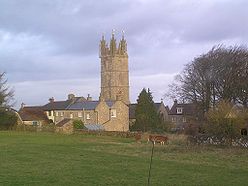
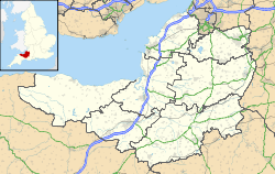
 Location within Somerset
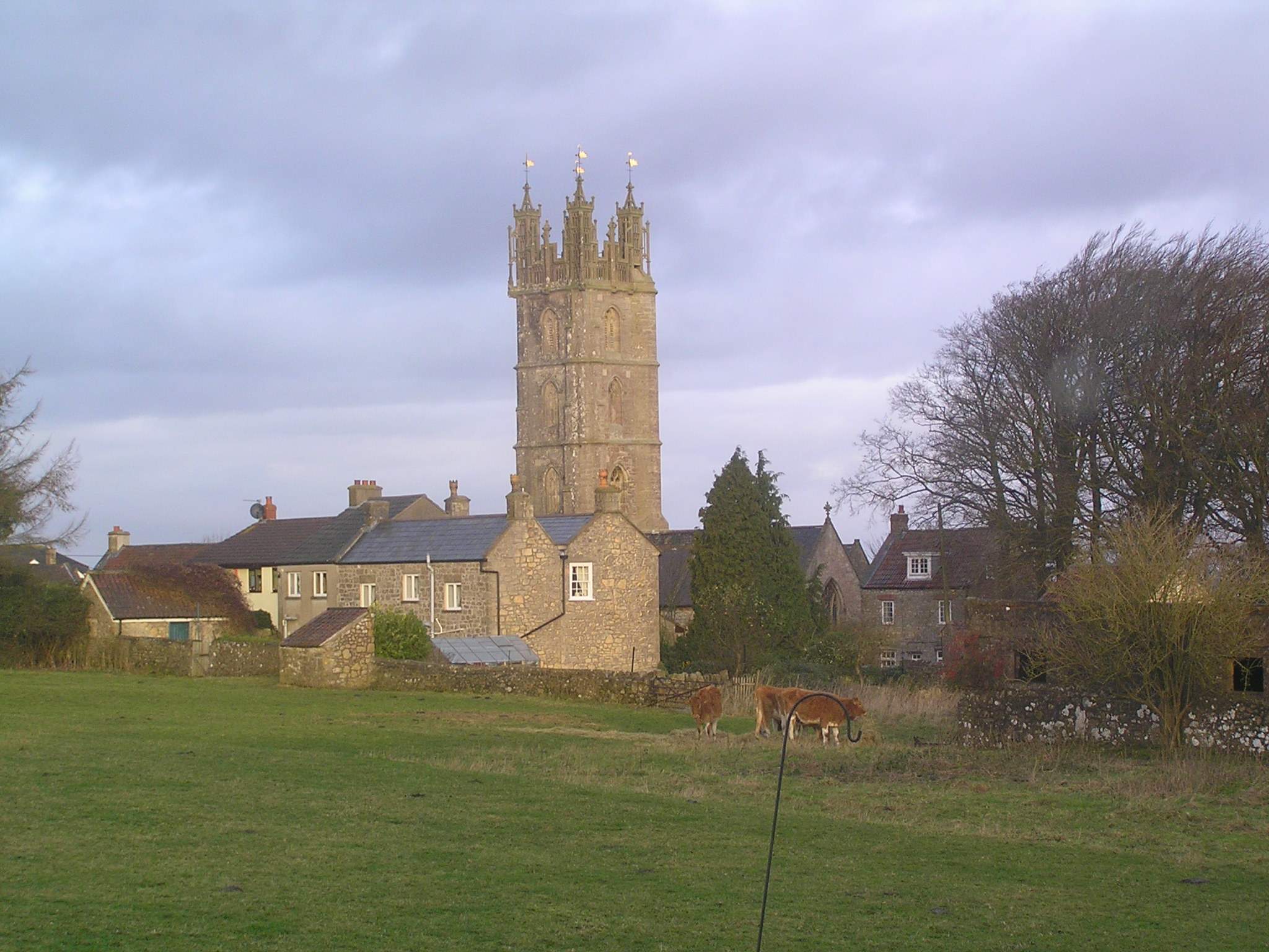
General information Town or city Dundry Country England Coordinates 51°23′56″N 2°38′14″W / 51.3990°N 2.6373°W The parish church of St Michael the Archangel[1] in Dundry, Somerset, England has a tower which was built in 1484, with the rest dated 1861. It has been designated as a Grade I listed building.[2]
The four-stage tower is a prominent feature in its hill-top position with its tower visible for many miles around. The four-stage tower [3] was erected, around 1448,[4] by the Society of Merchant Venturers of Bristol as a landmark and is visible from many parts of Avon.[2]
The church is within a the joint benefice with the Church of St Andrew, Chew Magna and Holy Trinity Church, Norton Malreward.[5]
Outside the church is a 5 feet (1.5 m) cube of dressed stone, known as the dole table, which was used to give alms to the poor.[6]
See also
- List of Grade I listed buildings in North Somerset
- List of towers in Somerset
References
- ^ Pages 74-78 of Volume 2 of West Country Churches by W J Robinson, published 1914 by Bristol Times and Mirror Limited.
- ^ a b "Church of St Michael, Dundry". Images of England. http://www.imagesofengland.org.uk/details/default.aspx?id=33648. Retrieved 2007-10-13.
- ^ Scott, Shane (1995). The hidden places of Somerset. Aldermaston: Travel Publishing Ltd. p. 36. ISBN 1902007018.
- ^ Poyntz Wright, Peter (1981). The Parish Church Towers of Somerset, Their construction, craftsmanship and chronology 1350 - 1550. Avebury Publishing Company. ISBN 0861275020.
- ^ "About Dundry". Parish of Dundry. http://www.dundry.org.uk/about_dundry.htm. Retrieved 3 December 2010.
- ^ Warren, Derrick (2005). Curious Somerset. Stroud: Sutton Publishing. p. 57. ISBN 978-0-7509-4057-3.
Categories:- Church of England churches in North Somerset
- 15th-century architecture
- Grade I listed churches
- Grade I listed buildings in Somerset

Wikimedia Foundation. 2010.