Christ Church, Moss Side, Manchester
- Christ Church, Moss Side, Manchester
-
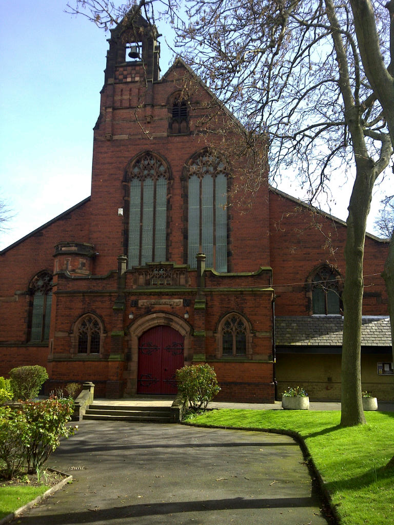
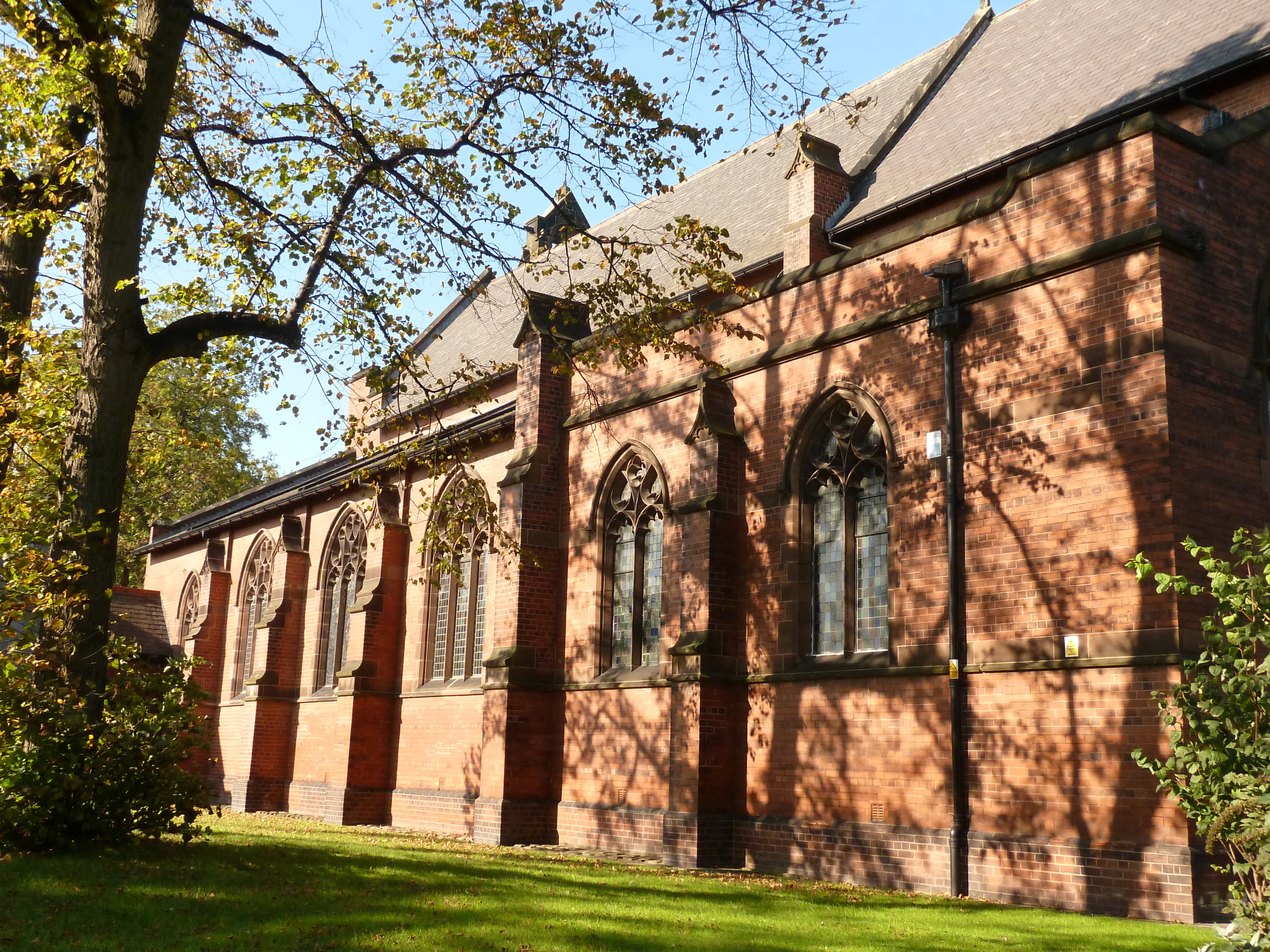
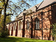
Christ Church in Lloyd Street North, Moss Side, Manchester, England, is an Anglican church of 1899–1904 by W. Cecil Hardisty. It was designated a Grade II* listed building on 24 April 1987.[1]
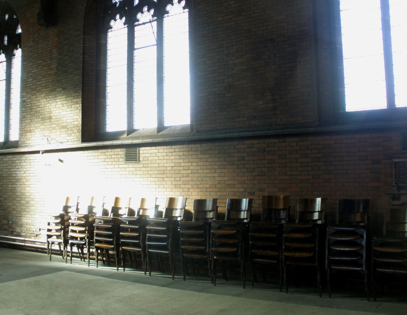
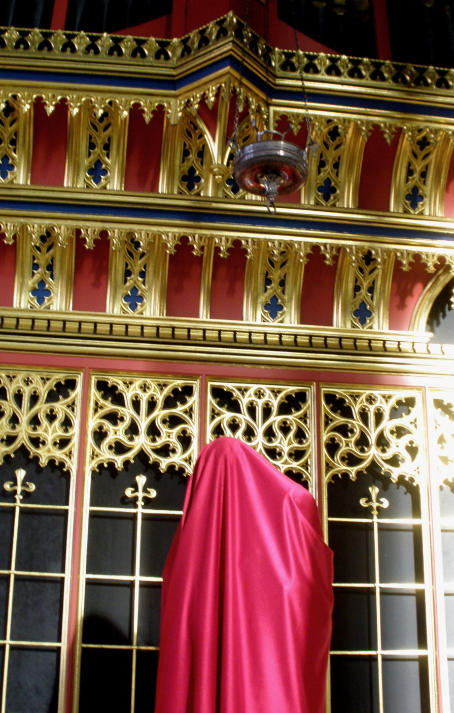
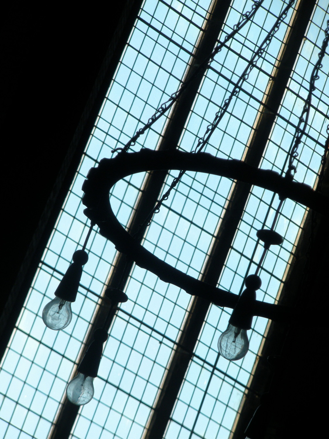
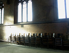
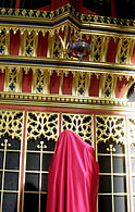
The church is of red brick in an "Arts and Crafts Perpendicular" style.[2] Pevsner considered it Hardisty's "best (building) in Manchester".[2] Decoration is concentrated on the west front, "where a bellcote sits roughishly on one shank of the gable".[2] Most of the original furnishings have gone, although some replacement pieces have been brought in from demolished churches—such as the reredos from St Edward, Holbeck, Leeds.[2]
| Images of Christ Church, Moss Side, Manchester, UK: |
 |
 |
 |
 |
 |
See also
Notes
References
- Hartwell, Clare; Hyde, Matthew; Pevsner, Nikolaus (2004), Lancashire: Manchester and the South East, The Buildings of England, New Haven, CT; London: Yale University Press, ISBN 0-300-10583-5
Coordinates: 53°27′33″N 2°14′10″W / 53.4592°N 2.2362°W / 53.4592; -2.2362
Categories:
- Grade II* listed buildings in Manchester
- Churches in Manchester
- United Kingdom church stubs
Wikimedia Foundation.
2010.
Look at other dictionaries:
Moss Side — For other uses, see Moss Side (disambiguation). Coordinates: 53°27′22″N 2°14′24″W / 53.456°N 2.240°W / 53.456; 2.240 … Wikipedia
Manchester (ancient parish) — Manchester Geography Status Ecclesiastical parish HQ … Wikipedia
Moston, Greater Manchester — Coordinates: 53°30′56″N 2°11′05″W / 53.515637°N 2.184762°W / 53.515637; 2.184762 … Wikipedia
St Michael and All Angel's Church, Ashton-on-Ribble — St Michael and All Angel s Church, Ashton on Ribble … Wikipedia
List of parishes in the Diocese of Salford — This list compiles the entirety of the parishes within the Roman Catholic Diocese of Salford, located in the north of England. Currently, the Rt Revd Terence Brain, the Bishop of Salford leads the diocese. The list of parishes are each divided by … Wikipedia
Newton Heath — Coordinates: 53°30′00″N 2°11′00″W / 53.4999°N 2.1833°W / 53.4999; 2.1833 … Wikipedia
Longsight — Coordinates: 53°27′22″N 2°12′00″W / 53.456°N 2.200°W / 53.456; 2.200 … Wikipedia
A57 road — UK road routebox road= A57 length mi= length km= direction= West East start= James Street railway station, Liverpool destinations= Warrington Manchester Sheffield end= Lincoln construction date= completion date= junctions= ukroadsmall|1… … Wikipedia
Winsford — infobox UK place country = England london distance= latitude= 53.194 longitude= 2.5197 official name= Winsford population= 29,683 (2001 Census) shire district= Vale Royal shire county = Cheshire region= North West England constituency westminster … Wikipedia
Mimico — Dissolved municipality Vimy Park … Wikipedia