Choč Mountains

Choč Mountains
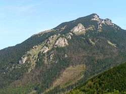
Veľký Choč, highest peak of the Choč Mountains

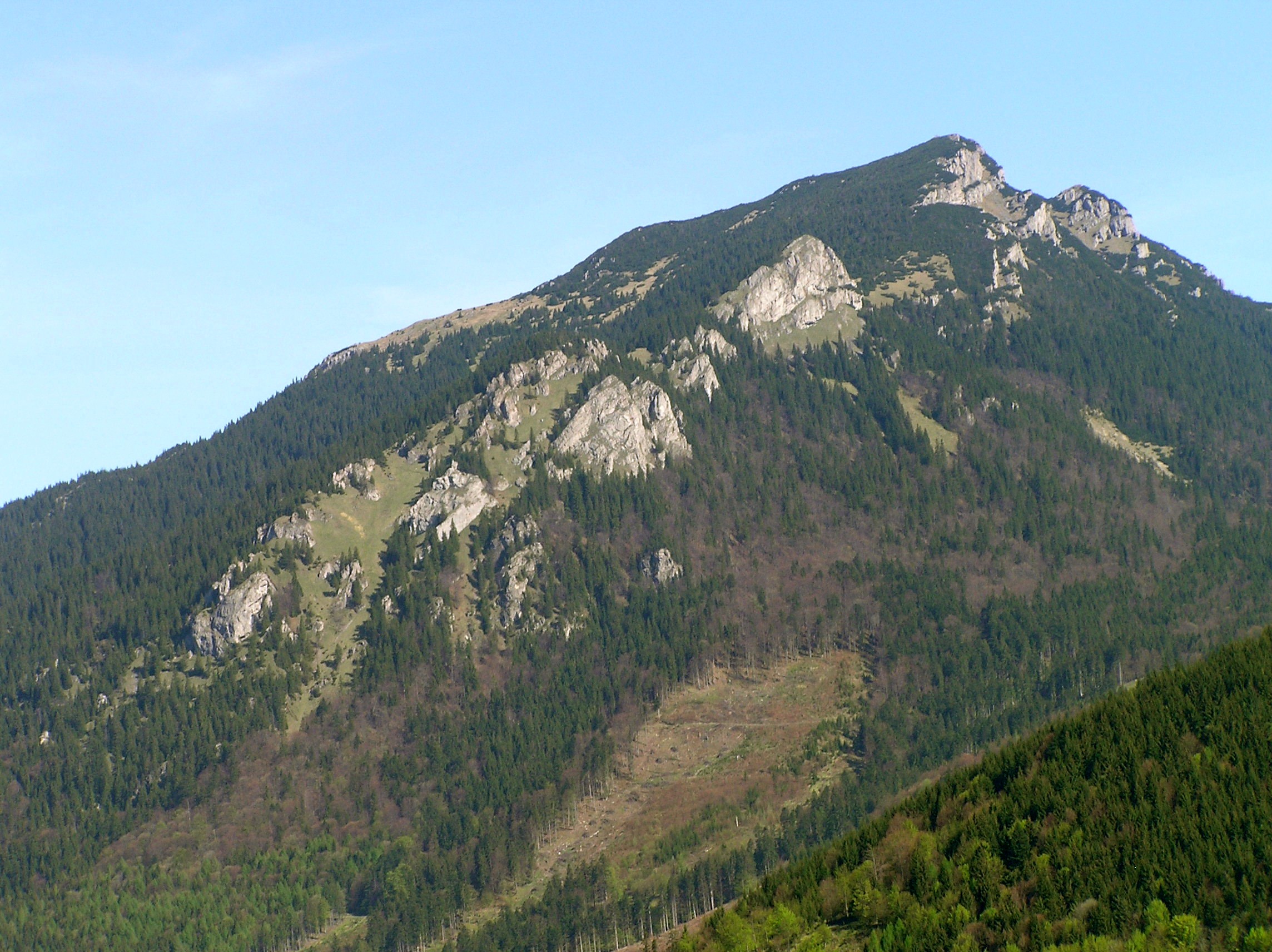
The Choč Mountains (in Slovak, Chočské vrchy) are a range of mountains in north-central Slovakia, a portion of the Fatra-Tatra Area of the Inner Western Carpathians. The range is 24 kilometers long and on average only 4 kilometers wide. Highest peak is Veľký Choč at 1 611 metres above sea level.

Contents

Location

Choč Mountains are bordered:

Highest Peaks

  • Veľký Choč, 1611 metres
  • Malý Choč, 1465 metres
  • Prosečné, 1371 metres
  • Holica, 1340 metres
  • Lomná, 1278 metres

See also

References


Wikimedia Foundation. 2010.

Игры ⚽ Поможем решить контрольную работу

Look at other dictionaries:

  • Chic-Choc Mountains — Range Country …   Wikipedia

  • Appalachian Mountains — Appalachian redirects here. For the region, see Appalachia. Appalachian Mountains Appalachians Range …   Wikipedia

  • Notre Dame and Mégantic Mountains — The Notre Dame and Mégantic Mountains are a physiographic province of the larger Appalachian division, and also contains the Chic Choc Mountains.[1] The Notre Dame Mountains rise to a level of approximately 2,000 ft (610 m) above sea level and… …   Wikipedia

  • Notre Dame Mountains — ▪ mountains, Canada French  Monts Notre dame,         mountain range in eastern Quebec province, Canada. The mountains are a continuation of the Green Mountains of Vermont, U.S., and an outcrop of the northern Appalachians. Named by Samuel de… …   Universalium

  • Where Mountains Float — (Où les montagnes flottent) est un film documentaire danois réalisé par Bjarne Henning Jensen en 1955. Ce documentaire montre le choc des cultures au Groenland, avec d un côté une petite fille Inuit qui doit quitter sa famille pour aller vers la… …   Wikipédia en Français

  • Fatra-Tatra Area — Geobox | Mountain Range name = Fatra Tatra native name = other name = category = Mountain Area image caption = Jahňačí štít over Veľké Biele Pleso etymology = nickname = country = Slovakia country country1 = Austria country2 = Poland state =… …   Wikipedia

  • International Appalachian Trail — The International Appalachian Trail (IAT; French: Sentier International des Appalaches, SIA) is a hiking trail which runs from the northern terminus of the Appalachian Trail at Mount Katahdin, Maine to the northernmost tip of the Appalachian… …   Wikipedia

  • Gaspé Peninsula — The Gaspésie (official name) or also Gaspé Peninsula or the Gaspé is a peninsula constituting part of the south shore of the Saint Lawrence River, in Quebec, Canada. It extends into the Gulf of Saint Lawrence and is separated from New Brunswick… …   Wikipedia

  • Mount Albert (Quebec) — Mont Albert Elevation 1,151 m (3,776 ft) [1] …   Wikipedia

  • Divisions of the Carpathians — Map of the main divisions of the Carpathians. 1. Outer Western Carpathians 2. Inner Western Carpathians 3. Outer Eastern Carpathians 4. Inner Eastern Carpathians 5. Southern Carpathians 6. Western Romanian Carpathians 7. Transylvanian Plateau 8.… …   Wikipedia

Share the article and excerpts

Direct link
Do a right-click on the link above
and select “Copy Link”