- Chonnabot District
-
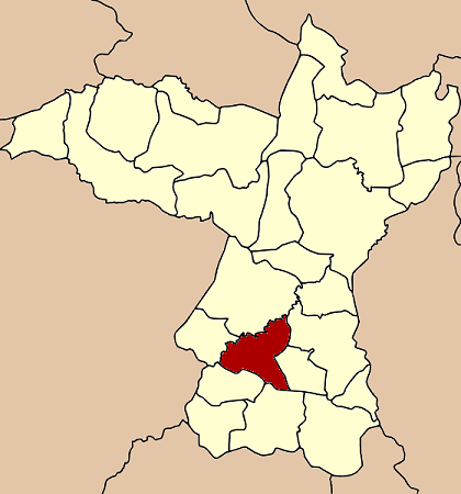
Chonnabot
ชนบท— Amphoe — Amphoe location in Khon Kaen Province
Coordinates: 16°5′18″N 102°37′18″E / 16.08833°N 102.62167°ECoordinates: 16°5′18″N 102°37′18″E / 16.08833°N 102.62167°E Country  Thailand
Province Khon Kaen Seat Chonnabot Tambon Muban Amphoe established Area – Total 404.29 km2 (156.1 sq mi) Population (2005) – Total 48,756 – Density 120.6/km2 (312.4/sq mi) Time zone THA (UTC+7) Postal code 40180 Geocode 4018 Chonnabot (Thai: ชนบท) is a district (Amphoe) of Khon Kaen Province, northeastern Thailand.
Contents
History
Mueang Chonbot (ชลบถ) was established at the begin of the Rattanakosin era of around 1783. Its center was at Ban Nong Kong Kaeo.
In 1914, it was converted to a district. However, in 1943, it was downgraded to be part of Ban Phai district.[1] In 1966, the district was re-established, consisting of the tambon Chonnabot, Kut Phia Khom, Ban Thaen and Wang Saeng.[2]
Geography
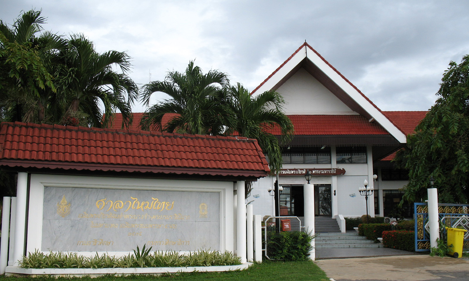
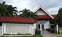 Thai Silk Cottage
Neighboring districts are (from the north clockwise) Mancha Khiri, Ban Phai, Non Sila, Phon, Waeng Yai and Khok Pho Chai.
Administration
The district is subdivided into 8 subdistricts (tambon), which are further subdivided into 80 villages (muban). Chonnabot is a township (thesaban tambon) which covers parts of tambon Chonnabot and Si Bun Rueang. There are further 8 Tambon administrative organizations (TAO).
No. Name Thai name Villages Inh. 1. Chonnabot ชนบท 13 9338 2. Kut Phia Khom กุดเพียขอม 7 3815 3. Wang Saeng วังแสง 11 7362 4. Huai Kae ห้วยแก 9 5805 5. Ban Thaen บ้านแท่น 8 4365 6. Si Bun Rueang ศรีบุญเรือง 12 6792 7. Non Phayom โนนพะยอม 10 6328 8. Po Daeng ปอแดง 10 4951 References
- ^ "ประกาศสำนักนายกรัฐมนตรี เรื่อง ตั้งอำเภอชุมแพและยุบอำเภอชนบท จังหวัดขอนแก่น" (in Thai). Royal Gazette 60 (41 ง): 2423. August 3 1943. http://www.ratchakitcha.soc.go.th/DATA/PDF/2486/D/041/2423.PDF.
- ^ "พระราชกฤษฎีกาตั้งอำเภอชนบท พ.ศ. ๒๕๐๙" (in Thai). Royal Gazette 83 (10 ก): 113–115. February 1 1966. http://www.ratchakitcha.soc.go.th/DATA/PDF/2509/A/010/113.PDF.
External links
Mueang Khon Kaen · Ban Fang · Phra Yuen · Nong Ruea · Chum Phae · Si Chomphu · Nam Phong · Ubolratana · Kranuan · Ban Phai · Pueai Noi · Phon · Waeng Yai · Waeng Noi · Nong Song Hong · Phu Wiang · Mancha Khiri · Chonnabot · Khao Suan Kwang · Phu Pha Man · Sam Sung · Khok Pho Chai · Nong Na Kham · Ban Haet · Non Sila · Wiang Kao
Categories:- Amphoe of Khon Kaen
Wikimedia Foundation. 2010.