California State Route 46 — CA 46 redirects here. For the congressional district, see California s 46th congressional district. State Route 46 … Wikipedia
Estrella River — The Estrella River is a river in eastern San Luis Obispo County, California. The river forms at the confluence of Cholame Creek, from the north, and San Juan Creek, from the south, near the town of Shandon. From there it flows west northwest to… … Wikipedia
San Ardo, California — Infobox Settlement official name = San Ardo, California settlement type = CDP imagesize = image caption = image imagesize = image caption = image mapsize = 250x200px map caption = Location in Monterey County and the state of California mapsize1 … Wikipedia
James Dean — This article is about the actor. For other uses, see James Dean (disambiguation). James … Wikipedia
State Scenic Highway System (California) — infobox road state=CA marker highway name=State Scenic Highway SystemThe State Scenic Highway System is a list of highways, mainly state highways, that have been designated by the California Department of Transportation (Caltrans) as scenic… … Wikipedia
San Luis Obispo County, California — County of San Luis Obispo County Seal … Wikipedia
Shandon, California — Infobox Settlement official name = Shandon, California other name = native name = nickname = settlement type = CDP motto = imagesize = image caption = flag size = image seal size = image shield = shield size = image blank emblem = blank emblem… … Wikipedia
Fort Tejon — U.S. National Register of Historic Places California Historic Landmark #129 … Wikipedia
List of Ranchos of California — This is a list of California land grants made by Spanish or Mexican authorities, before California became part of the US, to private individuals.[1] Following the Mexican American War, the 1848 Treaty of Guadalupe Hidalgo provided that the land… … Wikipedia
Diablo Range — Coordinates: 36°22′10.844″N 120°38′39.609″W / 36.36967889°N 120.64433583°W / 36.36967889; 120.64433583 … Wikipedia
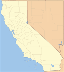
 Location of the Cholame Hills in California [1]