- Chaumala
-
Chaumala — Village development committee — Location in Nepal
 Chaumala
Coordinates: 28°46′N 80°46′E / 28.77°N 80.76°ECoordinates: 28°46′N 80°46′E / 28.77°N 80.76°E Country  Nepal
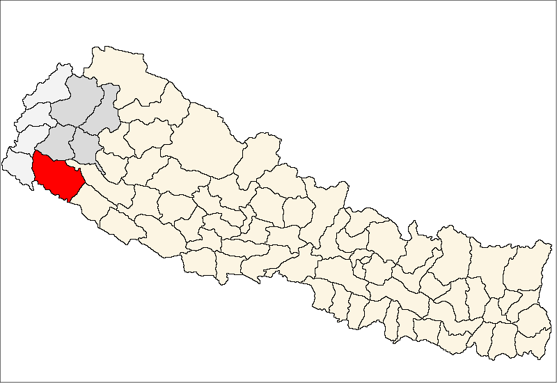
NepalZone Seti Zone District Kailali District Population (1991) – Total 10,942 Time zone Nepal Time (UTC+5:45) Chaumala is a village development committee in Kailali District in the Seti Zone of western Nepal, near the town of Dhangadhi. At the time of the 1991 Nepal census it had a population of 10942 living in 1647 individual households.Chaumala is exactly located 32 Km. east from the primary city and municipality of Kailali district, Dhangadhi and almost 60km. west from the another municipalty, Tikapur. it lies across the Mahendra Highway, the only one highway of Nepal.it has two small markets, one across the highway itself and other beyond the river. It has almost all sort of basic facilities, i.e. education, health, transportation, communication and electricity. there are 9 villages within this VDC; Rajipur,Chaumala, Khutiya, Jhil, Mangalpur, Khurkhuriya, Maghi, Banbehada and Kuchaini respectively.it is especial because there are inhabitants of almost all the 75 districts of Nepal [1]
References
- ^ "Nepal Census 2001". Nepal's Village Development Committees. Digital Himalaya. http://www.digitalhimalaya.com/collections/nepalcensus/form.php?selection=1. Retrieved 2008-10-25..
External links
Veeduprakashshah.blogspot.com/ (Prakash shah, chaumala)
Baliya · Basauti · Beladevipur · Bhajani · Boniya · Chauha · Chaumala · Dansinhapur · Darakh · Dododhara · Durgauli · Gadariya · Geta · Godawari · Hasuliya · Janakinagar · Joshipur · Khailad · Khairala · Kota Tulsipur · Lalbojhi · Malakheti · Masuriya · Mohanyal · Munuwa · Narayanpur · Nigali · Pahalmanpur · Pandaun · Pawera · Phulwari · Pratapur · Ramsikhar Jhala · Ratnapur · Sadepani · Sahajpur · Sreepur · Sugarkhal · Thapapur · Tikapur · Udasipur · Urma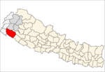 Categories:
- Populated places in Kailali District
- Seti Zone geography stubs

Wikimedia Foundation. 2010.