- Charleroi Historic District
-
Charleroi Historic District
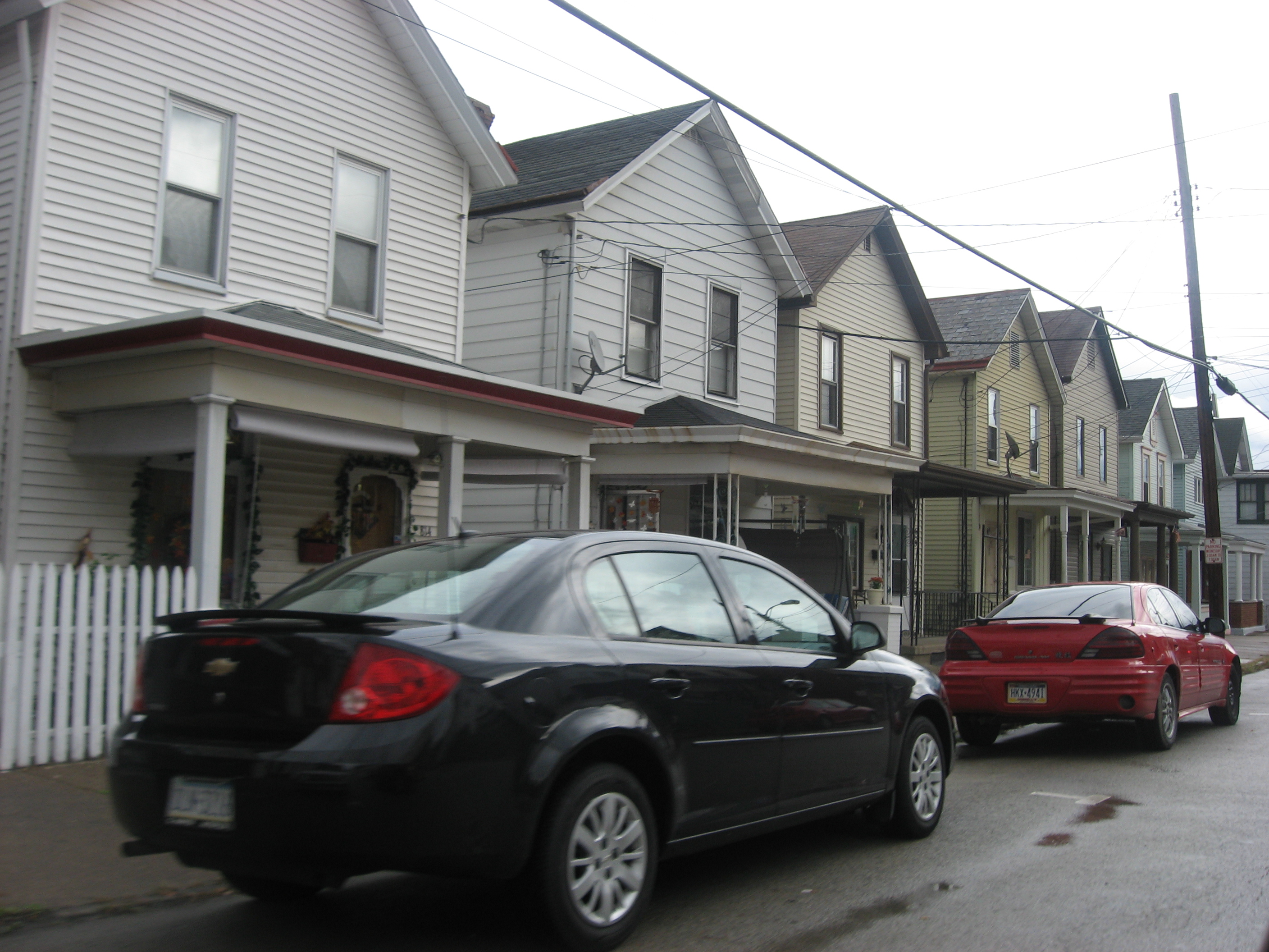
 A typical residential neighborhood in the district
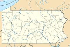

Location: Roughly bounded by 1st & 13th Sts., Oakland Ave. & Pennsylvania RR tracks., Charleroi, Pennsylvania Coordinates: 40°8′29″N 79°54′7″W / 40.14139°N 79.90194°WCoordinates: 40°8′29″N 79°54′7″W / 40.14139°N 79.90194°W Area: 410 acres (170 ha) Architect: Barnhart, Robert L.; et.al. Architectural style: Queen Anne, Late 19th And 20th Century Revivals Governing body: Local NRHP Reference#: 07001162[1] Added to NRHP: November 9, 2007 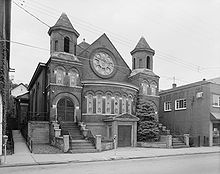 The First Christian Church, built in 1901 and later demolished, it was part of the Charleroi Historic District.
Charleroi Historic District is a historic district in Charleroi, Pennsylvania.
References
- ^ "National Register Information System". National Register of Historic Places. National Park Service. 2010-07-09. http://nrhp.focus.nps.gov/natreg/docs/All_Data.html.
U.S. National Register of Historic Places Topics Lists by states Alabama • Alaska • Arizona • Arkansas • California • Colorado • Connecticut • Delaware • Florida • Georgia • Hawaii • Idaho • Illinois • Indiana • Iowa • Kansas • Kentucky • Louisiana • Maine • Maryland • Massachusetts • Michigan • Minnesota • Mississippi • Missouri • Montana • Nebraska • Nevada • New Hampshire • New Jersey • New Mexico • New York • North Carolina • North Dakota • Ohio • Oklahoma • Oregon • Pennsylvania • Rhode Island • South Carolina • South Dakota • Tennessee • Texas • Utah • Vermont • Virginia • Washington • West Virginia • Wisconsin • WyomingLists by territories Lists by associated states Other Categories:- Historic districts in Pennsylvania
- Houses on the National Register of Historic Places in Pennsylvania
- Queen Anne architecture in Pennsylvania
- Historic districts in Washington County, Pennsylvania
- Pennsylvania Registered Historic Place stubs


Wikimedia Foundation. 2010.