- Thippagondanahalli Reservoir
-
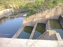 Picture: Tippagondanahalli dam water
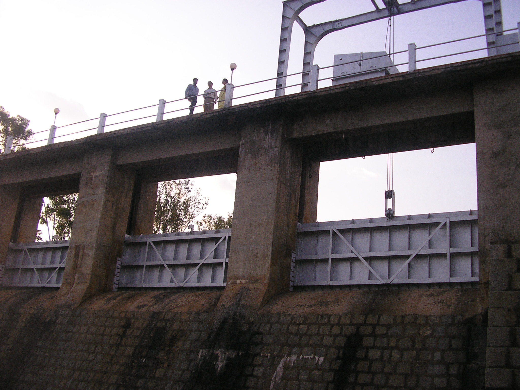
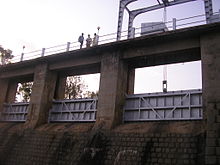 Picture: Tippagondanahalli dam gate
Thippagondanahalli Reservoir, also known as T G Halli Dam or Chamarajsagar, is located at the confluence of the Arkavathy River and Kumudavathi River, 35 km west of Bangalore, India. It is used by the Bangalore Water Supply and Sewerage Board (BWSSB) as a major source of drinking water for western Bangalore.[1] The lake is a man-made reservoir, created by the building of a dam which was inaugurated in 1933. Bharath Rathna Sir M Visvesvaraya supervised the construction work.
Contents
Water crisis
In the summer of 2007, the lack of rain in the watershed for the reservoir, along with use of the water for the city (BWSSB typically pumps 35 million litres per day into the western parts of the city.) caused the lake to become nearly dry.[1]
Recreational use
Thippagondanahalli is also popular recreation location, especially during summer months. It is located in Magadi road. Best time to visit this place is September to February.
Manchinabele dam
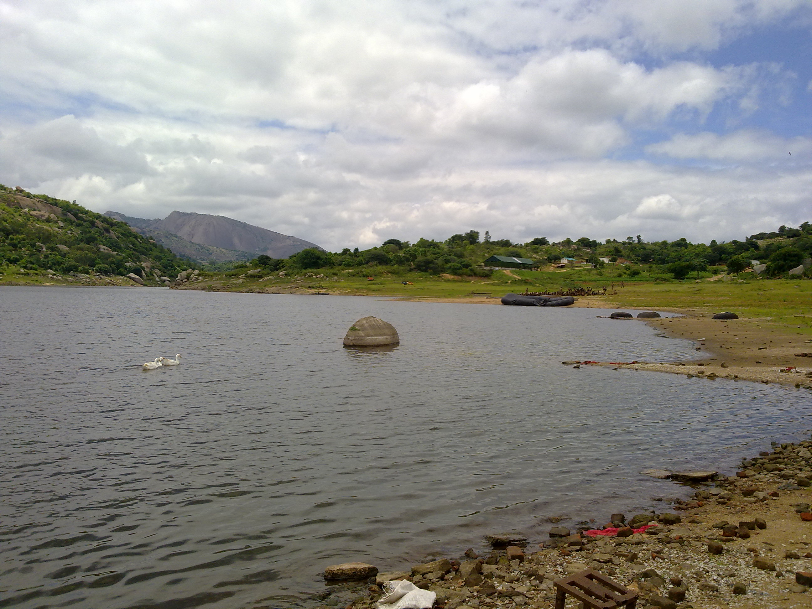
 Savandurga visible from Manchanabele reservoir.
Manchanabele dam is nearby downstream. It is a trekking location.[2] It provides water to Magadi town, Kayaking also conducted here. Species of Water Snakes are also visible [3]
See also
- Dodda Alada Mara
- Lakes in Bangalore
- Savandurga
References
The Hindu http://www.hindu.com/2007/04/05/stories/2007040521910500.htm
Hydrology of Karnataka Rivers Amarga • Amarja • Arkavathy • Bhadra • Chakra • Dandavathi • Gangavalli • Ghataprabha • Gurupura • Hemavati • Honnuhole • Kabini • Kali • Kaveri • Kedaka • Krishna • Kubja • Kumaradhara • Lakshmana Tirtha • Malaprabha • Manjira River • Netravati • Palar • Panchagangavalli • Penner • Ponnaiyar • Shambavi • Sharavathi • Shimsha • Souparnika • Tunga • Tungabhadra • Varada • Varahi • Vedavathi • VrishabhavathiWaterfalls Abbey • Barkana • Chunchanakatte • Devaragundi • Godchinamalaki • Gokak • Hebbe • Irupu • Jog • Kalhatti • Kuchikal • Magod • Mallalli • Muthyalamaduvu • Sathodi • Shivanasamudra or Cauvery • Shivganga • Unchalli • Vajrapoha • VarapohaLakes Harangi • Hebbal • Hesaraghatta • Honnamana Kere • Krishna Raja Sagara • Kukkarahalli • Pampa Sarovar • Thippagondanahalli • VibhutipuraBeaches Dams See also Kerala • Tamil Nadu • Andhra Pradesh • MaharashtraCoordinates: 12°58′24″N 77°20′33″E / 12.97333°N 77.3425°E
Categories:- Visitor attractions in Bangalore
- Dams in Karnataka
- Lakes of Karnataka
- Bangalore Rural district geography stubs
- Indian dam stubs

Wikimedia Foundation. 2010.