- Cerro de Coxóm
-
Cerro de Coxóm Totonicapán,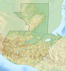
 Cerro de Coxóm
 Guatemala
Elevation 3,045 m (9,990 ft) [1] Location Coordinates 14°53′15″N 91°23′52″W / 14.8875°N 91.39778°WCoordinates: 14°53′15″N 91°23′52″W / 14.8875°N 91.39778°W Geology Type Stratovolcano Last eruption Unknown Cerro de Coxóm is a stratovolcano in Totonicapán in western Guatemala. The 3,045-metre (9,990 ft) high volcano is located at the eastern edge of the valley of Quetzaltenango.[1]
See also
References
- ^ a b Bohnenberger, Otto H.. "Los focos eruptivos cuaternarios de Guatemala". Guatemala: INSIVUMEH. http://www.insivumeh.gob.gt/geofisica/volcanes%20de%20Guatemala.htm. Retrieved 2011-02-23.
Categories:- Mountains of Guatemala
- Volcanoes of Guatemala
- Stratovolcanoes
- Guatemala geography stubs

Wikimedia Foundation. 2010.